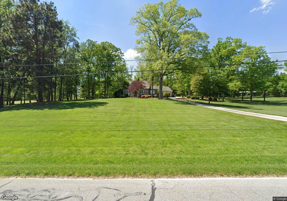
6081 Summit Ave Browns Summit, NC 27214
Estimated Value: $336,000 - $669,244
7
Beds
4
Baths
3,516
Sq Ft
$143/Sq Ft
Est. Value
About This Home
This home is located at 6081 Summit Ave, Browns Summit, NC 27214 and is currently estimated at $503,811, approximately $143 per square foot. 6081 Summit Ave is a home located in Guilford County with nearby schools including Monticello-Brown Summit Elementary School, Northeast Guilford Middle School, and Northeast Guilford High School.
Ownership History
Date
Name
Owned For
Owner Type
Purchase Details
Closed on
Jun 11, 2015
Sold by
Lambeth Lukes S and Lambeth Debra G
Bought by
Deluka Llc
Current Estimated Value
Purchase Details
Closed on
Mar 28, 2001
Sold by
Lambeth Phillip J and Lambeth Dorothy S
Bought by
Lambeth Luke S and Lambeth Debra G
Home Financials for this Owner
Home Financials are based on the most recent Mortgage that was taken out on this home.
Original Mortgage
$850,000
Interest Rate
6.95%
Purchase Details
Closed on
Sep 8, 1994
Bought by
Lambeth Luke S
Create a Home Valuation Report for This Property
The Home Valuation Report is an in-depth analysis detailing your home's value as well as a comparison with similar homes in the area
Home Values in the Area
Average Home Value in this Area
Purchase History
| Date | Buyer | Sale Price | Title Company |
|---|---|---|---|
| Deluka Llc | -- | None Available | |
| Lambeth Luke S | -- | -- | |
| Lambeth Luke S | -- | -- | |
| Lambeth Luke S | -- | -- |
Source: Public Records
Mortgage History
| Date | Status | Borrower | Loan Amount |
|---|---|---|---|
| Previous Owner | Lambeth Luke S | $850,000 |
Source: Public Records
Tax History
| Year | Tax Paid | Tax Assessment Tax Assessment Total Assessment is a certain percentage of the fair market value that is determined by local assessors to be the total taxable value of land and additions on the property. | Land | Improvement |
|---|---|---|---|---|
| 2025 | $3,699 | $415,400 | $111,700 | $303,700 |
| 2024 | $3,699 | $415,400 | $111,700 | $303,700 |
| 2023 | $3,699 | $415,400 | $111,700 | $303,700 |
| 2022 | $3,616 | $415,400 | $111,700 | $303,700 |
| 2021 | $3,284 | $377,300 | $95,800 | $281,500 |
| 2020 | $3,284 | $377,300 | $95,800 | $281,500 |
| 2019 | $3,284 | $377,300 | $0 | $0 |
| 2018 | $3,230 | $377,300 | $0 | $0 |
| 2017 | $3,230 | $377,300 | $0 | $0 |
| 2016 | $3,203 | $362,000 | $0 | $0 |
| 2015 | $3,361 | $377,700 | $0 | $0 |
| 2014 | $3,399 | $377,700 | $0 | $0 |
Source: Public Records
Map
Nearby Homes
- 7676 Caber Rd
- 5712 Baverhof Dr
- 7049 McLeansville Rd
- 5803 Springer Dr
- 5031 Red Poll Dr
- 5027 Brahman Trail
- 5506 Tier View Trail
- 5511 Oak Gate Dr
- 5109 Shorthorn Way
- 4427 N Carolina 150
- 1100 Broholmer Ln
- 1106 Broholmer Ln
- 1108 Broholmer Ln
- 1110 Broholmer Ln
- 1112 Broholmer Ln
- 1114 Broholmer Ln
- 1116 Broholmer Ln
- 1128 Broholmer Ln
- 1130 Broholmer Ln
- 1200 Broholmer Ln
- 6080 Summit Ave
- 6076 Summit Ave
- 6097 Summit Ave
- 6074 Summit Ave
- 6479 Us Highway 29
- 6479 U S 29
- 6072 Summit Ave
- 6065 Summit Ave
- 6477 Us Highway 29 Unit R1
- 6477 Us Highway 29 Unit REAR
- 6070 Summit Ave
- 6475 Us Highway 29
- 6068 Summit Ave
- 6093 Summit Ave
- 6471 Us Highway 29
- 6063 Summit Ave
- 6064 Summit Ave
- 6062 Summit Ave
- 7638 Caber Rd
- 7701 Summitridge Dr
Your Personal Tour Guide
Ask me questions while you tour the home.