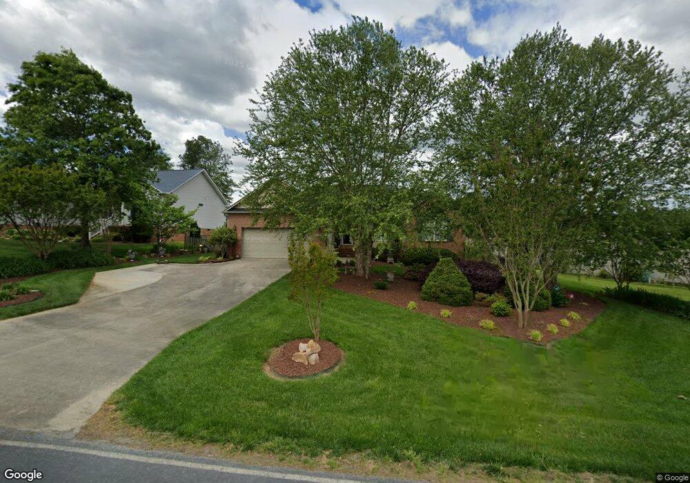
6081 Weant Rd Archdale, NC 27263
Estimated Value: $301,000 - $363,000
--
Bed
2
Baths
1,726
Sq Ft
$187/Sq Ft
Est. Value
About This Home
This home is located at 6081 Weant Rd, Archdale, NC 27263 and is currently estimated at $322,825, approximately $187 per square foot. 6081 Weant Rd is a home located in Randolph County with nearby schools including John R. Lawrence Elementary School, Wheatmore Middle School, and Trinity High School.
Ownership History
Date
Name
Owned For
Owner Type
Purchase Details
Closed on
Mar 30, 2007
Sold by
Taylor Richard and Taylor Anne
Bought by
Tawasha Lisa T
Current Estimated Value
Purchase Details
Closed on
Feb 28, 2006
Sold by
Cleary Ernest Gray and Cleary Gaynelle C
Bought by
Taylor Richard H and Taylor Anne H
Home Financials for this Owner
Home Financials are based on the most recent Mortgage that was taken out on this home.
Original Mortgage
$100,000
Interest Rate
6.04%
Mortgage Type
Fannie Mae Freddie Mac
Purchase Details
Closed on
Nov 2, 1999
Bought by
Tawasha Lisa T Tawasha Others
Purchase Details
Closed on
Sep 1, 1998
Bought by
Tawasha Lisa T Tawasha Others
Create a Home Valuation Report for This Property
The Home Valuation Report is an in-depth analysis detailing your home's value as well as a comparison with similar homes in the area
Home Values in the Area
Average Home Value in this Area
Purchase History
| Date | Buyer | Sale Price | Title Company |
|---|---|---|---|
| Tawasha Lisa T | -- | None Available | |
| Taylor Richard H | $158,000 | None Available | |
| Tawasha Lisa T Tawasha Others | $137,000 | -- | |
| Tawasha Lisa T Tawasha Others | $23,900 | -- |
Source: Public Records
Mortgage History
| Date | Status | Borrower | Loan Amount |
|---|---|---|---|
| Previous Owner | Taylor Richard H | $100,000 |
Source: Public Records
Tax History Compared to Growth
Tax History
| Year | Tax Paid | Tax Assessment Tax Assessment Total Assessment is a certain percentage of the fair market value that is determined by local assessors to be the total taxable value of land and additions on the property. | Land | Improvement |
|---|---|---|---|---|
| 2025 | $2,508 | $241,050 | $56,270 | $184,780 |
| 2024 | $2,484 | $241,050 | $56,270 | $184,780 |
| 2023 | $2,484 | $241,050 | $56,270 | $184,780 |
| 2022 | $1,896 | $160,040 | $26,910 | $133,130 |
| 2021 | $1,896 | $160,040 | $26,910 | $133,130 |
| 2020 | $1,853 | $160,040 | $26,910 | $133,130 |
| 2019 | $1,853 | $160,040 | $26,910 | $133,130 |
| 2018 | $1,586 | $133,510 | $26,720 | $106,790 |
| 2016 | $1,554 | $133,508 | $26,720 | $106,788 |
| 2015 | $1,558 | $133,508 | $26,720 | $106,788 |
| 2014 | -- | $133,508 | $26,720 | $106,788 |
Source: Public Records
Map
Nearby Homes
- 6071 Weant Rd
- 5988 Weant Rd
- 115 Lindsay Dr
- 100 Lindsay Dr
- 110 Deerfield Place
- 0-C Us Highway 311
- 3827 Wood Ave
- 9622 Us Highway 311
- 210 Waters Edge Dr
- 305 Alison Ln
- 0-B Us Highway 311
- 0-A Us Highway 311
- 0 Sprucewood Ct
- 108 Sprucewood Ct
- 9256 Us Highway 311
- 1206 Byron Ln
- 104 Autumn Hill Ct
- 107 Autumn Hill Ct
- 9116 Us Highway 311
- 110 Billy Ave