60819 Warner Dr Barnesville, OH 43713
Estimated Value: $131,825 - $148,000
3
Beds
3
Baths
1,316
Sq Ft
$106/Sq Ft
Est. Value
About This Home
This home is located at 60819 Warner Dr, Barnesville, OH 43713 and is currently estimated at $138,942, approximately $105 per square foot. 60819 Warner Dr is a home located in Belmont County with nearby schools including Barnesville Elementary School, Barnesville Middle School, and Barnesville High School.
Ownership History
Date
Name
Owned For
Owner Type
Purchase Details
Closed on
Dec 29, 2020
Sold by
Estadt John R and Estate Of Jason E Webster
Bought by
Allar Bradley A and Allar Debra S
Current Estimated Value
Purchase Details
Closed on
Jun 24, 2014
Sold by
Estate Of Rose Ann Webster
Bought by
Webster Jason E
Purchase Details
Closed on
Jan 1, 1987
Sold by
Webster Jason E and Rose An
Bought by
Webster Jason E and Rose Ann
Create a Home Valuation Report for This Property
The Home Valuation Report is an in-depth analysis detailing your home's value as well as a comparison with similar homes in the area
Home Values in the Area
Average Home Value in this Area
Purchase History
| Date | Buyer | Sale Price | Title Company |
|---|---|---|---|
| Allar Bradley A | $105,000 | None Available | |
| Webster Jason E | -- | None Available | |
| Webster Jason E | -- | -- |
Source: Public Records
Tax History Compared to Growth
Tax History
| Year | Tax Paid | Tax Assessment Tax Assessment Total Assessment is a certain percentage of the fair market value that is determined by local assessors to be the total taxable value of land and additions on the property. | Land | Improvement |
|---|---|---|---|---|
| 2024 | $376 | $11,260 | $11,260 | -- |
| 2023 | $1,566 | $45,770 | $9,210 | $36,560 |
| 2022 | $1,565 | $45,772 | $9,208 | $36,564 |
| 2021 | $1,569 | $45,772 | $9,208 | $36,564 |
| 2020 | $1,087 | $39,810 | $8,010 | $31,800 |
| 2019 | $1,090 | $39,810 | $8,010 | $31,800 |
| 2018 | $1,014 | $39,810 | $8,010 | $31,800 |
| 2017 | $940 | $34,690 | $9,890 | $24,800 |
| 2016 | $881 | $34,690 | $9,890 | $24,800 |
| 2015 | $922 | $34,690 | $9,890 | $24,800 |
| 2014 | $759 | $29,650 | $8,990 | $20,660 |
| 2013 | $799 | $29,650 | $8,990 | $20,660 |
Source: Public Records
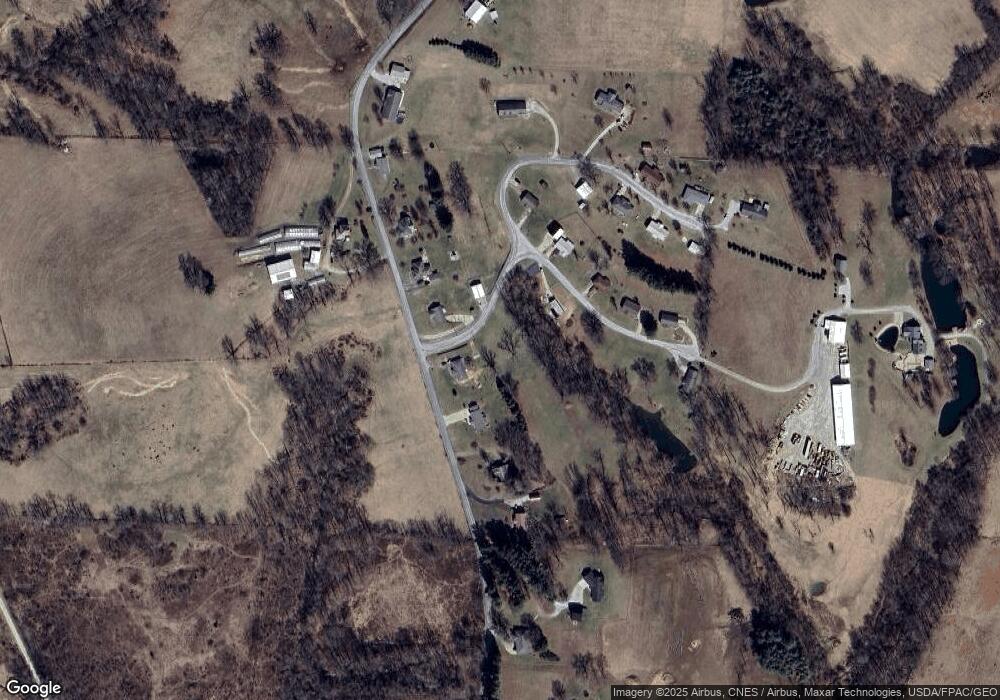
Map
Nearby Homes
- 0 Fairmont Ave Unit 5163774
- 0 Fairmont Ave Unit 5163784
- 174 Pine Ln
- 144 Pine Ln
- 118 Pine Ln
- 105 Bethesda St
- 613 E Main St
- 501 E Main St
- 215 Railroad St
- 136 E Walnut St
- 329 S Chestnut St
- 406 S Chestnut St
- 62239 Hillcrest Rd
- 612 N Broadway St
- 618 Park St
- 423 W Main St
- TBD W Main St
- 61900 Fairview Rd
- 0 County Road 114
- 57128 Somerton Hwy
- 60881 Pigeon Point Rd
- 60905 Pigeon Point Rd
- 60859 Pigeon Point Rd
- 60925 Pigeon Point Rd
- 36920 Opal Dr
- 60839 Pigeon Point Rd
- 36884 Opal Dr
- 36960 Opal Dr
- 60865 Warner Dr
- 60965 Pigeon Point Rd
- 60821 Pigeon Point Rd
- 36984 Opal Dr
- 60941 Warner Dr
- 60941 Warner Dr
- 36981 Opal Dr
- 60963 Warner Dr
- 60963 Warner Dr
- 60981 Pigeon Point Rd
- 60998 Pigeon Point Rd
- 60944 Warner Dr