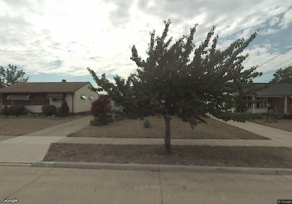
6082 Stark Dr Brookpark, OH 44142
Estimated Value: $173,178 - $253,000
2
Beds
2
Baths
936
Sq Ft
$230/Sq Ft
Est. Value
About This Home
This home is located at 6082 Stark Dr, Brookpark, OH 44142 and is currently estimated at $215,045, approximately $229 per square foot. 6082 Stark Dr is a home located in Cuyahoga County with nearby schools including Berea-Midpark Middle School, Berea-Midpark High School, and Huber Heights Preparatory Academy Parma Academy.
Ownership History
Date
Name
Owned For
Owner Type
Purchase Details
Closed on
Jul 12, 2001
Sold by
Wisniewski Edward A
Bought by
Polman David J
Current Estimated Value
Home Financials for this Owner
Home Financials are based on the most recent Mortgage that was taken out on this home.
Original Mortgage
$80,000
Interest Rate
6.78%
Purchase Details
Closed on
Nov 27, 1990
Sold by
Wisniewski Edward A
Bought by
Wisniewski Edward A
Purchase Details
Closed on
Oct 1, 1981
Sold by
Wisniewski Edward A and Wisniewski Emma R
Bought by
Wisniewski Edward A
Purchase Details
Closed on
Jan 1, 1975
Bought by
Wisniewski Edward A and Wisniewski Emma R
Create a Home Valuation Report for This Property
The Home Valuation Report is an in-depth analysis detailing your home's value as well as a comparison with similar homes in the area
Home Values in the Area
Average Home Value in this Area
Purchase History
| Date | Buyer | Sale Price | Title Company |
|---|---|---|---|
| Polman David J | $100,000 | Truetitle Agency Inc | |
| Wisniewski Edward A | -- | -- | |
| Wisniewski Edward A | -- | -- | |
| Wisniewski Edward A | -- | -- |
Source: Public Records
Mortgage History
| Date | Status | Borrower | Loan Amount |
|---|---|---|---|
| Closed | Polman David J | $80,000 |
Source: Public Records
Tax History
| Year | Tax Paid | Tax Assessment Tax Assessment Total Assessment is a certain percentage of the fair market value that is determined by local assessors to be the total taxable value of land and additions on the property. | Land | Improvement |
|---|---|---|---|---|
| 2025 | $2,609 | $52,045 | $11,200 | $40,845 |
| 2024 | $2,625 | $52,045 | $11,200 | $40,845 |
| 2023 | $2,687 | $44,110 | $8,160 | $35,950 |
| 2022 | $2,668 | $44,100 | $8,160 | $35,950 |
| 2021 | $2,652 | $44,100 | $8,160 | $35,950 |
| 2020 | $2,392 | $35,000 | $6,480 | $28,530 |
| 2019 | $2,320 | $100,000 | $18,500 | $81,500 |
| 2018 | $2,310 | $35,000 | $6,480 | $28,530 |
| 2017 | $2,291 | $32,060 | $6,090 | $25,970 |
| 2016 | $2,272 | $32,060 | $6,090 | $25,970 |
| 2015 | $2,132 | $32,060 | $6,090 | $25,970 |
| 2014 | $2,132 | $32,060 | $6,090 | $25,970 |
Source: Public Records
Map
Nearby Homes
- 6103 Westbrook Dr
- 6024 Brook Ct
- 5884 Michael Dr
- 14242 Holland Rd
- 15300 Holland Rd
- 14306 Parkman Blvd
- 14396 Park Dr
- 15425 Richard Dr
- 5723 Gateway Ln
- 5779 Gateway Ln Unit 1903
- 13515 Heatherwood Dr
- 15268 Muskingum Blvd
- 6330 Sandfield Dr
- 6386 Sandfield Dr
- 6377 Ledgebrook Dr
- 5770 Pemberton Dr
- 6330 Stonecrest Dr
- 16159 Bowfin Blvd
- 15546 Hummel Rd
- 6188 Barbara Ln
Your Personal Tour Guide
Ask me questions while you tour the home.