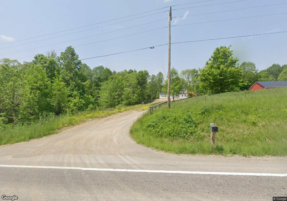
6082 State Route 314 Mount Gilead, OH 43338
Estimated Value: $127,000 - $226,000
3
Beds
2
Baths
1,344
Sq Ft
$136/Sq Ft
Est. Value
About This Home
This home is located at 6082 State Route 314, Mount Gilead, OH 43338 and is currently estimated at $183,000, approximately $136 per square foot. 6082 State Route 314 is a home located in Morrow County with nearby schools including Northmor Elementary School and Northmor High School.
Ownership History
Date
Name
Owned For
Owner Type
Purchase Details
Closed on
Jul 26, 2022
Bought by
Troyer Andy A
Current Estimated Value
Purchase Details
Closed on
May 26, 2017
Sold by
Carte Carol E
Bought by
Miller John E and Miller Esther J
Purchase Details
Closed on
Mar 1, 1974
Bought by
Carte Carol E
Create a Home Valuation Report for This Property
The Home Valuation Report is an in-depth analysis detailing your home's value as well as a comparison with similar homes in the area
Home Values in the Area
Average Home Value in this Area
Purchase History
| Date | Buyer | Sale Price | Title Company |
|---|---|---|---|
| Troyer Andy A | $145,000 | -- | |
| Miller John E | $65,000 | -- | |
| Carte Carol E | $4,500 | -- |
Source: Public Records
Tax History Compared to Growth
Tax History
| Year | Tax Paid | Tax Assessment Tax Assessment Total Assessment is a certain percentage of the fair market value that is determined by local assessors to be the total taxable value of land and additions on the property. | Land | Improvement |
|---|---|---|---|---|
| 2024 | $930 | $22,020 | $10,080 | $11,940 |
| 2023 | $930 | $22,020 | $10,080 | $11,940 |
| 2022 | $1,528 | $33,290 | $8,610 | $24,680 |
| 2021 | $1,495 | $33,290 | $8,610 | $24,680 |
| 2020 | $1,498 | $33,290 | $8,610 | $24,680 |
| 2019 | $1,359 | $29,470 | $7,630 | $21,840 |
| 2018 | $1,358 | $29,470 | $7,630 | $21,840 |
| 2017 | $943 | $29,470 | $7,630 | $21,840 |
| 2016 | $862 | $27,370 | $7,000 | $20,370 |
| 2015 | $812 | $27,370 | $7,000 | $20,370 |
| 2014 | $826 | $27,370 | $7,000 | $20,370 |
| 2013 | $770 | $27,370 | $7,000 | $20,370 |
Source: Public Records
Map
Nearby Homes
- 7000 Township Road 85
- 6043 Township Road 87
- 6410 Township Road 84
- 6713 U S 42
- 5615 County Road 98
- 6530 U S 42
- 6351 U S 42
- 7117 County Road 59
- 6870 County Road 109
- 5643 Yankee St
- 7326 State Route 19 Unit 1 Lots 62-63
- 7326 State Route 19 Unit 6 Lots 90 91 92
- 00 County Road 98 Unit Lot B
- 000 County Road 98 Unit Lot C
- 0 County Road 98 Unit Lot A
- 6528 Township Road 14
- 5953 County Road 109
- 6334 Black Rd
- 6602 Township Road 29
- 2785 Rd
- 6130 Ohio 314
- 6080 State Route 314
- 6138 State Route 314
- 0 Ohio 314
- 6184 State Route 314
- 7289 Township Road 89
- 6004 State Route 314
- 7183 Township Road 92
- 7240 Township Road 95
- 7264 Township Road 95
- 5997 Ohio 314
- 5997 State Route 314
- 7299 Twp 89 Rd
- 5945 State Route 314
- 5937 State Route 314
- 5937 State Route 314
- 6260 State Route 314
- 7272 Twp 95 Rd
- 5931 State Route 314
- 7264 Township Rd
