6083 Fagan Cir Unit ROSEPINE Deridder, LA 70634
Estimated Value: $243,000 - $271,000
3
Beds
2
Baths
2,258
Sq Ft
$113/Sq Ft
Est. Value
About This Home
This home is located at 6083 Fagan Cir Unit ROSEPINE, Deridder, LA 70634 and is currently estimated at $254,439, approximately $112 per square foot. 6083 Fagan Cir Unit ROSEPINE is a home located in Vernon Parish.
Ownership History
Date
Name
Owned For
Owner Type
Purchase Details
Closed on
Sep 27, 2018
Sold by
Craft Harrell Cody
Bought by
Ford Matthew Kern
Current Estimated Value
Home Financials for this Owner
Home Financials are based on the most recent Mortgage that was taken out on this home.
Original Mortgage
$177,995
Outstanding Balance
$155,222
Interest Rate
4.5%
Mortgage Type
New Conventional
Estimated Equity
$99,217
Purchase Details
Closed on
May 2, 2013
Sold by
Grant Lance Thomas
Bought by
Craft Harrell Cody and Craft Alli Scott Hall
Home Financials for this Owner
Home Financials are based on the most recent Mortgage that was taken out on this home.
Original Mortgage
$176,530
Interest Rate
3.56%
Purchase Details
Closed on
Dec 28, 2010
Sold by
Mirante Properties Llc
Bought by
Grant Lance Thomas
Home Financials for this Owner
Home Financials are based on the most recent Mortgage that was taken out on this home.
Original Mortgage
$173,697
Interest Rate
4.44%
Mortgage Type
Stand Alone First
Create a Home Valuation Report for This Property
The Home Valuation Report is an in-depth analysis detailing your home's value as well as a comparison with similar homes in the area
Home Values in the Area
Average Home Value in this Area
Purchase History
| Date | Buyer | Sale Price | Title Company |
|---|---|---|---|
| Ford Matthew Kern | $183,500 | None Available | |
| Craft Harrell Cody | $173,000 | -- | |
| Grant Lance Thomas | $166,500 | -- |
Source: Public Records
Mortgage History
| Date | Status | Borrower | Loan Amount |
|---|---|---|---|
| Open | Ford Matthew Kern | $177,995 | |
| Previous Owner | Craft Harrell Cody | $176,530 | |
| Previous Owner | Grant Lance Thomas | $173,697 |
Source: Public Records
Tax History Compared to Growth
Tax History
| Year | Tax Paid | Tax Assessment Tax Assessment Total Assessment is a certain percentage of the fair market value that is determined by local assessors to be the total taxable value of land and additions on the property. | Land | Improvement |
|---|---|---|---|---|
| 2024 | $2,729 | $22,290 | $2,050 | $20,240 |
| 2023 | $2,053 | $18,020 | $2,050 | $15,970 |
| 2022 | $2,273 | $18,020 | $2,050 | $15,970 |
| 2021 | $2,348 | $18,020 | $2,050 | $15,970 |
| 2020 | $2,361 | $18,020 | $2,050 | $15,970 |
| 2019 | $2,387 | $18,020 | $2,050 | $15,970 |
| 2018 | $2,164 | $16,500 | $2,050 | $14,450 |
| 2017 | $2,159 | $16,450 | $2,000 | $14,450 |
| 2015 | $2,177 | $16,450 | $550 | $15,900 |
| 2014 | $2,042 | $16,450 | $550 | $15,900 |
| 2013 | $2,152 | $16,450 | $550 | $15,900 |
Source: Public Records
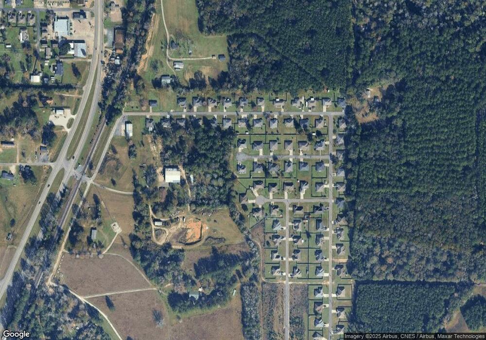
Map
Nearby Homes
- 317 Barbara Dr
- 122 Barbara Dr
- 6616 Bailey Rd
- 6628 Bailey Rd
- 5276 Carla St
- 0 Lake Charles Hwy Unit SWL24003728
- 1778 Byron
- 245 Ambler Rd
- 7 Woodland Pkwy
- 510 Woodland Pkwy
- 1219 Broad St
- 192 Sharon Dr Unit (Rosepine)
- 192 Sharon Dr
- 961 Lockhart Cut
- 8983 Main St
- 0 Johnnie B Hall Memorial Hwy
- 695 Bears Rd
- 142 Billie Carter Dr
- 629 Parish Line Rd
- 0 0 Us-171 Hwy Unit 51-174
- 6084 Fagan Cir
- 6090 Fagan Cir
- 6092 Fagan Cir
- 6091 Fagan Cir
- 6093 Fagan Cir
- 114 Barbara Dr
- 113 Barbara Dr
- 6097 Fagan Cir
- 6111 Fagan Cir
- 6301 Fagan Cir
- 6109 Fagan Cir
- 6108 Fagan Cir
- 120 Barbara St
- 6105 Fagan Cir Unit Circle
- 6209 Fagan Cir
- 329 Barbara Dr Unit St.
- 320 Barbara Dr Unit Drive
- 6089 Fagan Cir
- 6108 Fagan Cir Unit cir
- 120 Barbara Dr