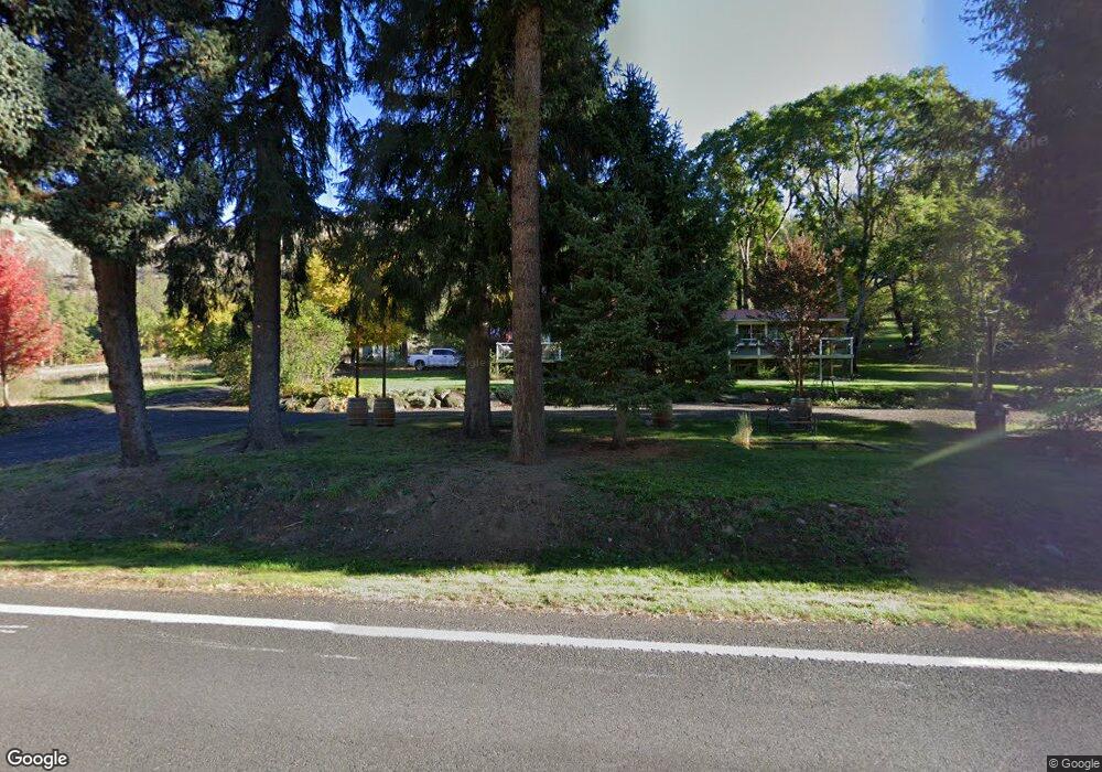
6085 Highway 12 Kooskia, ID 83539
Estimated Value: $515,842 - $979,000
--
Bed
--
Bath
--
Sq Ft
6.44
Acres
About This Home
This home is located at 6085 Highway 12, Kooskia, ID 83539 and is currently estimated at $733,211. 6085 Highway 12 is a home located in Idaho County with nearby schools including Clearwater Valley Elementary School and Clearwater Valley Junior/Senior High School.
Ownership History
Date
Name
Owned For
Owner Type
Purchase Details
Closed on
Jan 4, 2006
Sold by
Tousley Rick L and Tousley Cheryl J
Bought by
Dominguez Michael S and Dominguez Lisa L
Current Estimated Value
Home Financials for this Owner
Home Financials are based on the most recent Mortgage that was taken out on this home.
Original Mortgage
$200,000
Outstanding Balance
$122,748
Interest Rate
7.87%
Mortgage Type
Adjustable Rate Mortgage/ARM
Estimated Equity
$610,463
Create a Home Valuation Report for This Property
The Home Valuation Report is an in-depth analysis detailing your home's value as well as a comparison with similar homes in the area
Home Values in the Area
Average Home Value in this Area
Purchase History
| Date | Buyer | Sale Price | Title Company |
|---|---|---|---|
| Dominguez Michael S | -- | -- |
Source: Public Records
Mortgage History
| Date | Status | Borrower | Loan Amount |
|---|---|---|---|
| Open | Dominguez Michael S | $200,000 |
Source: Public Records
Tax History Compared to Growth
Tax History
| Year | Tax Paid | Tax Assessment Tax Assessment Total Assessment is a certain percentage of the fair market value that is determined by local assessors to be the total taxable value of land and additions on the property. | Land | Improvement |
|---|---|---|---|---|
| 2025 | $1,476 | $526,362 | $144,917 | $381,445 |
| 2024 | $1,634 | $526,362 | $144,917 | $381,445 |
| 2023 | $882 | $526,362 | $144,917 | $381,445 |
| 2022 | $1,173 | $499,727 | $143,685 | $356,042 |
| 2021 | $969 | $382,389 | $136,843 | $245,546 |
| 2020 | $838 | $305,911 | $109,474 | $196,437 |
| 2019 | $1,413 | $291,344 | $104,261 | $187,083 |
| 2018 | $1,260 | $264,858 | $94,783 | $170,075 |
| 2017 | $1,186 | $254,344 | $102,282 | $152,062 |
| 2016 | $1,139 | $237,286 | $113,356 | $123,930 |
| 2014 | -- | $0 | $0 | $0 |
| 2013 | -- | $0 | $0 | $0 |
Source: Public Records
Map
Nearby Homes
- 216 Ulmer Rd
- 366 Too Kush Rd
- 151 Ranta Rd
- 181 Harris Ridge Loop
- 117 Suttler Creek Rd
- 133 Trenary Rd
- 268 Long Bluff Rd
- TBD Tahoe Loop
- 627 Raeder St
- 716 Raeder St
- 0 Nna River Run Unit 25-3534
- 729 Raeder St
- 705 Nelson Ave
- 698 Leitch Creek Rd
- 207 Amber Ave
- TBD Mill St
- 784 Leitch Creek Rd
- 830 Leitch Creek Rd
- Parcel 13 Red Fir Rd
- TBD Hwy 13
- 6135 Highway 12
- 6055 Highway 12
- 6157 Highway 12
- 6159 U S 12
- 6039 Highway 12
- 6161 Highway 12
- 6151 Highway 12
- 6033 Highway 12
- 6172 Highway 12
- 6195 Highway 12
- 6149 Highway 12
- 6159 Highway 12
- 6001 U S 12
- 6001 Highway 12
- 6213 Highway 12
- 6213 U S 12
- 5987 Highway 12
- 6215 Highway 12
- 6174 Highway 12
- 6174 Highway 12