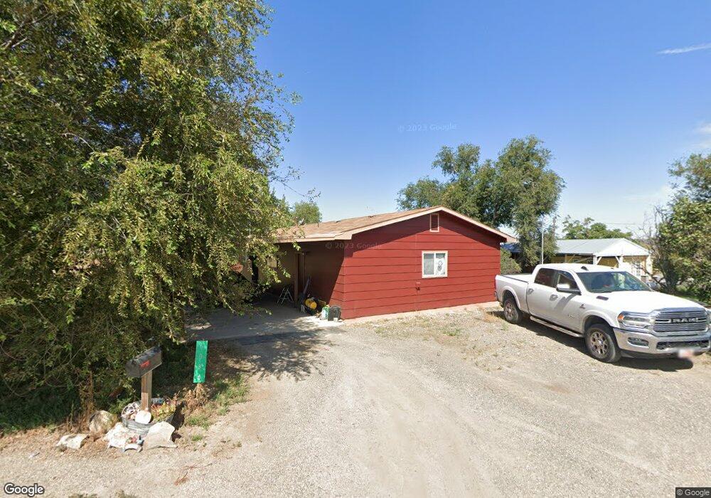
6086 Dunlap Rd Marsing, ID 83639
Estimated Value: $297,000 - $600,000
3
Beds
1
Bath
1,040
Sq Ft
$409/Sq Ft
Est. Value
About This Home
This home is located at 6086 Dunlap Rd, Marsing, ID 83639 and is currently estimated at $425,485, approximately $409 per square foot. 6086 Dunlap Rd is a home located in Owyhee County with nearby schools including Marsing Elementary School, Marsing Middle School, and Marsing High School.
Ownership History
Date
Name
Owned For
Owner Type
Purchase Details
Closed on
Jun 25, 2007
Sold by
Hiatt Donna
Bought by
Hiatt Phillip W
Current Estimated Value
Home Financials for this Owner
Home Financials are based on the most recent Mortgage that was taken out on this home.
Original Mortgage
$96,000
Interest Rate
6.21%
Mortgage Type
New Conventional
Create a Home Valuation Report for This Property
The Home Valuation Report is an in-depth analysis detailing your home's value as well as a comparison with similar homes in the area
Purchase History
| Date | Buyer | Sale Price | Title Company |
|---|---|---|---|
| Hiatt Phillip W | -- | -- |
Source: Public Records
Mortgage History
| Date | Status | Borrower | Loan Amount |
|---|---|---|---|
| Closed | Hiatt Phillip W | $96,000 |
Source: Public Records
Tax History
| Year | Tax Paid | Tax Assessment Tax Assessment Total Assessment is a certain percentage of the fair market value that is determined by local assessors to be the total taxable value of land and additions on the property. | Land | Improvement |
|---|---|---|---|---|
| 2025 | -- | $248,905 | $63,955 | $184,950 |
| 2024 | -- | $242,840 | $57,890 | $184,950 |
| 2023 | $1,530 | $225,180 | $57,890 | $167,290 |
| 2022 | $1,454 | $225,180 | $57,890 | $167,290 |
| 2021 | $1,239 | $146,727 | $40,077 | $106,650 |
| 2020 | $997 | $113,389 | $20,323 | $93,066 |
| 2019 | $1,049 | $98,050 | $20,323 | $77,727 |
| 2018 | $1,133 | $100,188 | $16,936 | $83,252 |
| 2017 | $1,011 | $92,284 | $16,936 | $75,348 |
| 2016 | $685 | $65,106 | $15,810 | $49,296 |
| 2014 | $437 | $52,964 | $14,914 | $38,050 |
| 2011 | -- | $46,141 | $10,276 | $35,865 |
Source: Public Records
Map
Nearby Homes
- 20796 Lowell Rd
- TBD Lot 5 Cabernet Ln
- TBD Cabernet Ln - Lot 5 Parcel A
- TBD N Edison Rd
- 0 Heritage Unit 98982246
- TBD N Bruneau Rd
- 6617 Red Rock Rd
- 604 Bobwhite
- 523 Morning Dove Way
- 166 1st St N
- 162 1st St N
- 912 W Main St
- 428 1st St N
- 12730 Sunny Slope Rd
- TBD Canal St
- 20169 Hoskins Rd
- 20056 Sunny Slope Rd
- 13628 Brunello Ct
- TBD Fran Ln
- 16125 Glenna Dr
- 6116 Dunlap Ln
- 10502 Dunlap Ln
- 6043 Dunlap Rd
- 5629 Gosling Ln
- TBD Ryen Ln
- 6106 Dunlap Ln
- 41.74 Ac Gosling Ln
- 5682 Gosling Ln
- 5676 Gosling Ln
- 5688 Gosling Ln
- 5920 Horseshoe Ln
- 5710 Gosling Ln
- 6001 Horseshoe Ln
- 6080 Claytonia Way
- 5711 Gosling Ln
- 6034 Claytonia Way
- 6054 Claytonia Way
- 103 Emily Ln
- 6002 Claytonia Way
- 6031 Claytonia Way
Your Personal Tour Guide
Ask me questions while you tour the home.