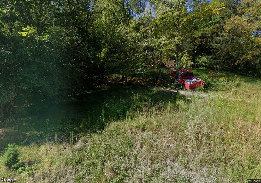
6087 State Route 221 Georgetown, OH 45121
Estimated Value: $73,000 - $160,851
3
Beds
1
Bath
768
Sq Ft
$158/Sq Ft
Est. Value
About This Home
This home is located at 6087 State Route 221, Georgetown, OH 45121 and is currently estimated at $121,213, approximately $157 per square foot. 6087 State Route 221 is a home located in Brown County with nearby schools including Ripley Union Lewis Huntington Elementary School, Ripley Union Lewis Huntington Middle School, and Ripley-Union-Lewis-Huntington High School.
Ownership History
Date
Name
Owned For
Owner Type
Purchase Details
Closed on
Oct 20, 2014
Sold by
Kennedy Timothey
Bought by
Kennedy Penelope S
Current Estimated Value
Purchase Details
Closed on
Jan 21, 2003
Sold by
Silver James
Bought by
Kennedy Timothy and Kennedy Penelope S
Home Financials for this Owner
Home Financials are based on the most recent Mortgage that was taken out on this home.
Original Mortgage
$47,250
Outstanding Balance
$20,568
Interest Rate
6.3%
Mortgage Type
New Conventional
Estimated Equity
$100,645
Purchase Details
Closed on
Apr 14, 1998
Sold by
Slater Paul C
Bought by
Lillich Jody
Home Financials for this Owner
Home Financials are based on the most recent Mortgage that was taken out on this home.
Original Mortgage
$34,550
Interest Rate
7.19%
Mortgage Type
New Conventional
Create a Home Valuation Report for This Property
The Home Valuation Report is an in-depth analysis detailing your home's value as well as a comparison with similar homes in the area
Purchase History
| Date | Buyer | Sale Price | Title Company |
|---|---|---|---|
| Kennedy Penelope S | -- | None Available | |
| Kennedy Timothy | $52,500 | -- | |
| Lillich Jody | $43,240 | -- |
Source: Public Records
Mortgage History
| Date | Status | Borrower | Loan Amount |
|---|---|---|---|
| Open | Kennedy Timothy | $47,250 | |
| Previous Owner | Lillich Jody | $34,550 |
Source: Public Records
Tax History
| Year | Tax Paid | Tax Assessment Tax Assessment Total Assessment is a certain percentage of the fair market value that is determined by local assessors to be the total taxable value of land and additions on the property. | Land | Improvement |
|---|---|---|---|---|
| 2024 | $1,253 | $40,230 | $15,830 | $24,400 |
| 2023 | $1,252 | $28,680 | $10,950 | $17,730 |
| 2022 | $1,007 | $28,680 | $10,950 | $17,730 |
| 2021 | $940 | $28,680 | $10,950 | $17,730 |
| 2020 | $867 | $24,940 | $9,520 | $15,420 |
| 2019 | $860 | $24,940 | $9,520 | $15,420 |
| 2018 | $853 | $24,940 | $9,520 | $15,420 |
| 2017 | $828 | $23,900 | $10,470 | $13,430 |
| 2016 | $813 | $23,900 | $10,470 | $13,430 |
| 2015 | $813 | $23,910 | $10,480 | $13,430 |
| 2014 | $831 | $22,960 | $9,530 | $13,430 |
| 2013 | $770 | $22,960 | $9,530 | $13,430 |
Source: Public Records
Map
Nearby Homes
- 312 White Oak St
- 2845 Mary Ingles Hwy E
- 3571 Shaw Rd
- 5173 Old A & P
- 7029 Free Soil Rd
- 307 Hamilton Ave
- 508 E 3rd St
- 3755 Old A & P Hwy
- 4718 Ky-8 (E Mary Ingles Hwy)
- 404 E 2nd St
- 5635 Thomas Rd
- ac Shinkle Ridge Rd
- 310 E 3rd St
- 401 E 4th St
- 207 E 3rd St
- 212 E 4th St
- 114 E 4th St
- 5104 Dutch Ridge Rd
- 470 Free Soil Rd
- 5796 E Mary Ingles Hwy
- 6059 Ohio 221
- 6059 State Route 221
- 6043 St Rt 221
- 6111 Ohio 221
- 6043 State Route 221
- 6021 State Route 221
- 6021 State Route 221
- 5991 Ohio 221
- 5991 State Route 221
- 5991 State Route 221 Unit 29.8ac
- 5951 Ohio 221
- 5951 St Rt 221
- 6234 State Route 221
- 5905 State Route 221
- 0 Burr Oak Dr Unit 1238420
- 0 Burr Oak Dr Unit 1255079
- 3054 Burr Oak Dr
- 3114 Burr Oak Dr
- 3162 Burr Oak Dr
- 10 Burr Oak Dr
