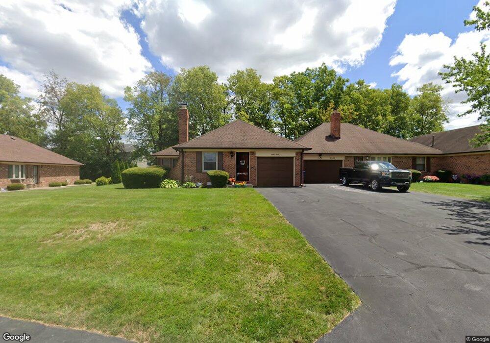
6089 Apache Dr Unit 7 Indianapolis, IN 46254
International Marketplace NeighborhoodEstimated Value: $171,236 - $215,000
2
Beds
2
Baths
1,595
Sq Ft
$118/Sq Ft
Est. Value
About This Home
This home is located at 6089 Apache Dr Unit 7, Indianapolis, IN 46254 and is currently estimated at $188,809, approximately $118 per square foot. 6089 Apache Dr Unit 7 is a home located in Marion County with nearby schools including Pike High School and Enlace Academy.
Ownership History
Date
Name
Owned For
Owner Type
Purchase Details
Closed on
May 1, 2006
Sold by
Landis Dona L
Bought by
Davis Jeannetta
Current Estimated Value
Home Financials for this Owner
Home Financials are based on the most recent Mortgage that was taken out on this home.
Original Mortgage
$99,000
Outstanding Balance
$56,539
Interest Rate
6.74%
Mortgage Type
Adjustable Rate Mortgage/ARM
Estimated Equity
$132,270
Create a Home Valuation Report for This Property
The Home Valuation Report is an in-depth analysis detailing your home's value as well as a comparison with similar homes in the area
Home Values in the Area
Average Home Value in this Area
Purchase History
| Date | Buyer | Sale Price | Title Company |
|---|---|---|---|
| Davis Jeannetta | -- | Stewart Title |
Source: Public Records
Mortgage History
| Date | Status | Borrower | Loan Amount |
|---|---|---|---|
| Open | Davis Jeannetta | $99,000 |
Source: Public Records
Tax History
| Year | Tax Paid | Tax Assessment Tax Assessment Total Assessment is a certain percentage of the fair market value that is determined by local assessors to be the total taxable value of land and additions on the property. | Land | Improvement |
|---|---|---|---|---|
| 2025 | $1,380 | $153,600 | $18,800 | $134,800 |
| 2024 | $1,328 | $135,300 | $18,800 | $116,500 |
| 2023 | $1,328 | $138,700 | $18,800 | $119,900 |
| 2022 | $1,417 | $138,700 | $18,800 | $119,900 |
| 2021 | $971 | $104,400 | $18,700 | $85,700 |
| 2020 | $906 | $100,600 | $18,700 | $81,900 |
| 2019 | $836 | $96,800 | $18,700 | $78,100 |
| 2018 | $742 | $90,200 | $18,700 | $71,500 |
| 2017 | $808 | $94,500 | $18,700 | $75,800 |
| 2016 | $808 | $94,500 | $18,700 | $75,800 |
| 2014 | $698 | $92,200 | $18,700 | $73,500 |
| 2013 | $646 | $92,200 | $18,700 | $73,500 |
Source: Public Records
Map
Nearby Homes
- 6095 Apache Dr Unit U2 B7
- 6223 Apache Dr
- 6211 Glen Flint Ct
- 4744 Falcon Grove Dr
- 4927 Flame Way
- 5344 Arbor Creek Dr
- 5341 Fishlake Dr
- 5911 W 46th St
- 5341 Cotton Bay Dr W
- 5277 Austral Dr
- 4705 Bridgefield Dr
- 4661 Falcon Run Way
- 5442 Bay Harbor Dr
- 4801 Ossington Ct
- 4425 Dartmoor Dr
- 4925 Pembridge Dr
- 4938 Pembridge Dr
- 6703 Bridgefield Way
- 6711 Bridgefield Way
- 5932 Dabny Ct
- 6089 Apache Dr
- 6089 Apache Dr Unit 7 unit 1
- 6095 Apache Ct
- 6095 Apache Dr
- 6115 Apache Dr
- 6073 Apache Dr
- 6073 Apache Dr Unit U1 B8
- 6063 W Apache #2 Dr Unit 8
- 6063 Apache Dr
- 6202 Apache Dr
- 6202 Apache Dr Unit B5
- 6057 Apache Dr
- 6131 Apache Dr
- 6058 Apache Dr
- 6208 Apache Dr
- 6064 Apache Dr
- 5022 Falcon Grove Dr
- 5007 Falcon Grove Dr
- 6201 Apache Dr
Your Personal Tour Guide
Ask me questions while you tour the home.