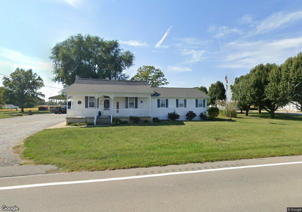
6089 State Route 153 Oakdale, IL 62268
Estimated Value: $157,000 - $324,000
3
Beds
2
Baths
815
Sq Ft
$308/Sq Ft
Est. Value
About This Home
This home is located at 6089 State Route 153, Oakdale, IL 62268 and is currently estimated at $251,085, approximately $308 per square foot. 6089 State Route 153 is a home located in Washington County with nearby schools including Okawville Grade School and Okawville Junior/Senior High School.
Ownership History
Date
Name
Owned For
Owner Type
Purchase Details
Closed on
Jul 2, 2021
Sold by
Riess Michael James and Riess Linda Kay
Bought by
Howard Andrew W and Howard Kimberly A
Current Estimated Value
Home Financials for this Owner
Home Financials are based on the most recent Mortgage that was taken out on this home.
Original Mortgage
$197,600
Outstanding Balance
$179,291
Interest Rate
2.9%
Mortgage Type
New Conventional
Estimated Equity
$71,794
Purchase Details
Closed on
Jan 4, 2017
Sold by
Riess Linda Kay and Riess Michael James
Bought by
Riess Linda Kay and Riess Michael James
Create a Home Valuation Report for This Property
The Home Valuation Report is an in-depth analysis detailing your home's value as well as a comparison with similar homes in the area
Home Values in the Area
Average Home Value in this Area
Purchase History
| Date | Buyer | Sale Price | Title Company |
|---|---|---|---|
| Howard Andrew W | $208,000 | Benchmark Title | |
| Riess Linda Kay | -- | None Available |
Source: Public Records
Mortgage History
| Date | Status | Borrower | Loan Amount |
|---|---|---|---|
| Open | Howard Andrew W | $197,600 |
Source: Public Records
Tax History Compared to Growth
Tax History
| Year | Tax Paid | Tax Assessment Tax Assessment Total Assessment is a certain percentage of the fair market value that is determined by local assessors to be the total taxable value of land and additions on the property. | Land | Improvement |
|---|---|---|---|---|
| 2024 | $3,536 | $66,909 | $1,591 | $65,318 |
| 2023 | $3,820 | $58,155 | $1,457 | $56,698 |
| 2022 | $4,030 | $63,923 | $1,591 | $62,332 |
| 2021 | $3,847 | $61,776 | $1,538 | $60,238 |
| 2020 | $2,364 | $39,375 | $1,514 | $37,861 |
| 2019 | $2,366 | $38,668 | $1,487 | $37,181 |
| 2018 | $2,354 | $38,668 | $1,487 | $37,181 |
| 2017 | $2,335 | $38,117 | $1,487 | $36,630 |
| 2016 | $2,332 | $38,117 | $1,487 | $36,630 |
| 2015 | $2,332 | $38,117 | $1,487 | $36,630 |
| 2014 | $2,322 | $38,117 | $1,487 | $36,630 |
| 2013 | $2,322 | $38,117 | $1,487 | $36,630 |
| 2012 | $2,360 | $38,117 | $1,487 | $36,630 |
Source: Public Records
Map
Nearby Homes
- 6121 State Route 153
- 4939 County Highway 10
- 5980 State Route 153
- 5038 County Highway 10
- 5113 County Highway 10
- 4832 County Highway 10
- 5110 County Highway 10
- 4693 County Highway 10
- 4690 County Highway 10
- 5326 County Highway 10
- 4750 County Highway 10
- 6358 Saint Anthony Church Rd
- 6337 Saint Anthony Church Rd
- 4491 County Highway 10
- 4491 County Highway 10
- 6743 State Route 153
- 5958 County Highway 10
- 5255 State Route 153
- 4081 County Highway 10