60891 Territorial Rd Lawrence, MI 49064
Estimated Value: $438,000 - $533,000
--
Bed
--
Bath
1,620
Sq Ft
$305/Sq Ft
Est. Value
About This Home
This home is located at 60891 Territorial Rd, Lawrence, MI 49064 and is currently estimated at $493,396, approximately $304 per square foot. 60891 Territorial Rd is a home located in Van Buren County with nearby schools including Lawrence Elementary School and Lawrence Junior/Senior High School.
Ownership History
Date
Name
Owned For
Owner Type
Purchase Details
Closed on
May 18, 2023
Sold by
Long James M and Long Amber R
Bought by
Long James M
Current Estimated Value
Purchase Details
Closed on
Feb 27, 2012
Sold by
Long Elizabeth A and Long James W
Bought by
Long James M and Long Amber R
Purchase Details
Closed on
Jun 17, 2011
Sold by
Long Elizabeth A and Long James W
Bought by
Long Elizabeth A and Long James W
Purchase Details
Closed on
May 3, 2011
Sold by
Long Jeffrey D and Long Elizabeth A
Bought by
Long Elizabeth A and Long James W
Purchase Details
Closed on
Oct 22, 2010
Sold by
Lloyd David P and Jacobson Patricia A
Bought by
Long Elizabeth A and Long James W
Purchase Details
Closed on
Oct 18, 1996
Sold by
Lloyd David P
Bought by
Long Elizabeth
Create a Home Valuation Report for This Property
The Home Valuation Report is an in-depth analysis detailing your home's value as well as a comparison with similar homes in the area
Home Values in the Area
Average Home Value in this Area
Purchase History
| Date | Buyer | Sale Price | Title Company |
|---|---|---|---|
| Long James M | -- | Land Title | |
| Long James M | -- | None Available | |
| Long Elizabeth A | -- | None Available | |
| Long Elizabeth A | -- | None Available | |
| Long Elizabeth A | $23,000 | None Available | |
| Long Elizabeth | -- | -- |
Source: Public Records
Tax History Compared to Growth
Tax History
| Year | Tax Paid | Tax Assessment Tax Assessment Total Assessment is a certain percentage of the fair market value that is determined by local assessors to be the total taxable value of land and additions on the property. | Land | Improvement |
|---|---|---|---|---|
| 2025 | $6,293 | $262,000 | $0 | $0 |
| 2024 | $1,828 | $245,600 | $0 | $0 |
| 2023 | $1,741 | $209,200 | $0 | $0 |
| 2022 | $5,386 | $170,700 | $0 | $0 |
| 2021 | $5,258 | $156,700 | $36,900 | $119,800 |
| 2020 | $5,170 | $156,700 | $36,900 | $119,800 |
| 2019 | $5,034 | $156,300 | $156,300 | $0 |
| 2018 | $6,004 | $193,300 | $193,300 | $0 |
| 2016 | $5,851 | $186,500 | $0 | $0 |
| 2015 | $5,258 | $186,500 | $0 | $0 |
| 2014 | $4,824 | $177,400 | $0 | $0 |
| 2013 | -- | $172,500 | $172,500 | $0 |
Source: Public Records
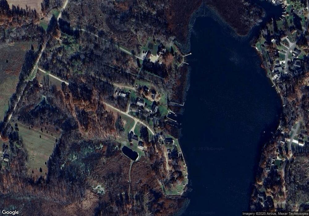
Map
Nearby Homes
- 60846 N Lakeshore Dr
- 58797 Territorial Rd
- 44850 Woodman Dr
- Parcel A Territorial Rd
- 44702 B 56th Ave
- 66598 Territorial Rd
- 58356 Cr 671
- 43618 Carla Dr
- 62619 N County Road 365
- 50663 Red Arrow Hwy
- 58008 N County Road 365
- 0 S Paw St
- 0 Palmer Dr
- 0 Crandall Pkwy Unit 16 24019285
- 0 Crandall Pkwy Unit 6 24019278
- 0 Crandall Pkwy Unit 22 24019310
- 0 Crandall Pkwy Unit 7 24019281
- 0 Crandall Pkwy Unit 8 24019283
- 0 Crandall Pkwy Unit 15 24019284
- 0 Crandall Pkwy Unit 17 24019287
- 60593 Territorial Rd
- 60897 Territorial Rd
- 60903 Territorial Rd
- 60905 Territorial Rd
- 60487 Territorial Rd
- 60909 Territorial Rd
- 60913 Territorial Rd
- 60919 Territorial Rd
- 60923 Territorial Rd
- 60929 Territorial Rd
- 60147 Territorial Rd
- 60091 Territorial Rd
- 60904 N Lakeshore Dr
- 61498 N Lakeshore Dr
- 61004 N Lakeshore Dr
- 61450 N Lakeshore Dr
- 46626 S Lakeshore Dr
- 60798 N Lakeshore Dr
- 61030 N Lakeshore Dr
- 61483 Territorial Rd