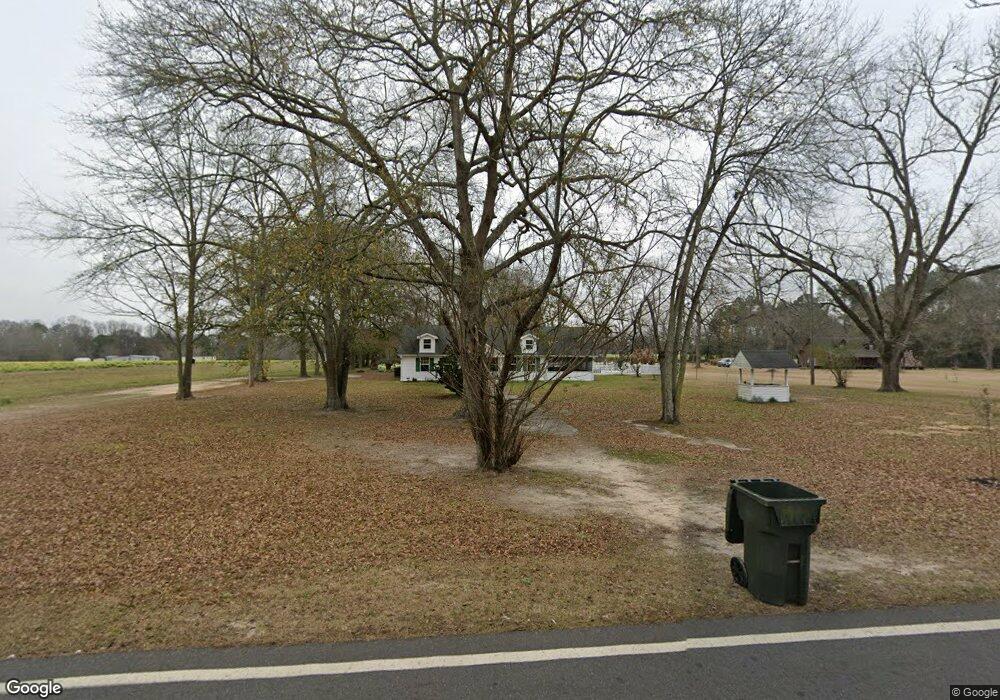
609 Auburn Rd Glennville, GA 30427
Estimated Value: $183,479 - $267,000
3
Beds
2
Baths
1,650
Sq Ft
$134/Sq Ft
Est. Value
About This Home
This home is located at 609 Auburn Rd, Glennville, GA 30427 and is currently estimated at $220,620, approximately $133 per square foot. 609 Auburn Rd is a home located in Tattnall County with nearby schools including Tattnall County High School and Glennville Christian Academy.
Ownership History
Date
Name
Owned For
Owner Type
Purchase Details
Closed on
Feb 9, 2011
Sold by
Smithson Alfred G
Bought by
Beach William G
Current Estimated Value
Home Financials for this Owner
Home Financials are based on the most recent Mortgage that was taken out on this home.
Original Mortgage
$104,030
Outstanding Balance
$71,084
Interest Rate
4.75%
Mortgage Type
FHA
Estimated Equity
$149,536
Purchase Details
Closed on
Dec 8, 2010
Sold by
Smithson Alfred G
Bought by
Kirkland Randall C and Kirkland Mary C
Create a Home Valuation Report for This Property
The Home Valuation Report is an in-depth analysis detailing your home's value as well as a comparison with similar homes in the area
Home Values in the Area
Average Home Value in this Area
Purchase History
| Date | Buyer | Sale Price | Title Company |
|---|---|---|---|
| Beach William G | $128,000 | -- | |
| Kirkland Randall C | $40,000 | -- |
Source: Public Records
Mortgage History
| Date | Status | Borrower | Loan Amount |
|---|---|---|---|
| Open | Beach William G | $104,030 |
Source: Public Records
Tax History Compared to Growth
Tax History
| Year | Tax Paid | Tax Assessment Tax Assessment Total Assessment is a certain percentage of the fair market value that is determined by local assessors to be the total taxable value of land and additions on the property. | Land | Improvement |
|---|---|---|---|---|
| 2024 | $1,721 | $49,920 | $2,480 | $47,440 |
| 2023 | $1,080 | $49,920 | $2,480 | $47,440 |
| 2022 | $1,480 | $41,560 | $2,480 | $39,080 |
| 2021 | $1,390 | $39,960 | $2,760 | $37,200 |
| 2020 | $1,391 | $39,960 | $2,760 | $37,200 |
| 2019 | $1,275 | $35,720 | $2,080 | $33,640 |
| 2018 | $1,292 | $35,720 | $2,080 | $33,640 |
| 2017 | $990 | $35,720 | $2,080 | $33,640 |
| 2016 | $285 | $35,800 | $2,080 | $33,720 |
| 2015 | -- | $35,880 | $2,080 | $33,800 |
| 2014 | -- | $39,600 | $2,080 | $37,520 |
| 2013 | -- | $39,600 | $2,080 | $37,520 |
Source: Public Records
Map
Nearby Homes
- 615 Auburn Rd
- 0 Auburn Rd Unit 7199379
- 0 Auburn Rd Unit 8309168
- 0 Auburn Rd Unit 3126359
- 0 Auburn Rd
- 213 Bull St
- 211 Bull St Unit 2
- 211 Bull St
- 209 Bull St Unit 3
- 201 Bull St
- 205 Bull St
- 200 Coleman Ln
- 104 Bull St
- 122 Bull St
- 203 Bull St
- 431 Auburn Rd
- 144 Bull St
- 0 Bull St
- 0 Bull St
- 0 Bull St Unit 39613