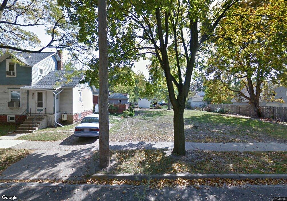
609 Burr St Jackson, MI 49201
Health District NeighborhoodEstimated Value: $95,000
--
Bed
--
Bath
--
Sq Ft
8,712
Sq Ft Lot Lot
About This Home
This home is located at 609 Burr St, Jackson, MI 49201 and is currently priced at $95,000. 609 Burr St is a home located in Jackson County with nearby schools including Northeast Elementary School, Middle School at Parkside, and Jackson High School.
Ownership History
Date
Name
Owned For
Owner Type
Purchase Details
Closed on
May 29, 2020
Sold by
Russell Jeanette I
Bought by
Vroman Lee
Current Estimated Value
Home Financials for this Owner
Home Financials are based on the most recent Mortgage that was taken out on this home.
Original Mortgage
$107,415
Outstanding Balance
$95,393
Interest Rate
3.3%
Mortgage Type
New Conventional
Purchase Details
Closed on
Nov 23, 2004
Sold by
Flack Robert D and Flack Kathleen A
Bought by
Armstrong Dale G and Armstrong Shirley I
Home Financials for this Owner
Home Financials are based on the most recent Mortgage that was taken out on this home.
Original Mortgage
$46,916
Interest Rate
5.71%
Mortgage Type
Purchase Money Mortgage
Create a Home Valuation Report for This Property
The Home Valuation Report is an in-depth analysis detailing your home's value as well as a comparison with similar homes in the area
Home Values in the Area
Average Home Value in this Area
Purchase History
We collect this data history from publicly available records. To have your information removed, we recommend requesting removal directly through your county’s website.
| Date | Buyer | Sale Price | Title Company |
|---|---|---|---|
| Vroman Lee | $105,000 | None Available | |
| Armstrong Dale G | $43,000 | -- |
Source: Public Records
Mortgage History
We collect this data history from publicly available records. To have your information removed, we recommend requesting removal directly through your county’s website.
| Date | Status | Borrower | Loan Amount |
|---|---|---|---|
| Open | Vroman Lee | $107,415 | |
| Previous Owner | Armstrong Dale G | $46,916 |
Source: Public Records
Tax History
| Year | Tax Paid | Tax Assessment Tax Assessment Total Assessment is a certain percentage of the fair market value that is determined by local assessors to be the total taxable value of land and additions on the property. | Land | Improvement |
|---|---|---|---|---|
| 2020 | -- | $0 | $0 | $0 |
| 2019 | -- | $0 | $0 | $0 |
| 2018 | -- | $0 | $0 | $0 |
| 2017 | -- | $0 | $0 | $0 |
| 2016 | -- | $400 | $400 | $0 |
| 2015 | -- | $400 | $400 | $0 |
| 2014 | -- | $400 | $0 | $0 |
| 2013 | -- | $400 | $400 | $0 |
Source: Public Records
Map
Nearby Homes
- 702 Detroit St
- 608 Detroit St
- 510 Harris St
- 357 Cooper St
- 0 E Pearl St
- 556 Cooper St
- 311 Quarry St
- 301 S Cooper St
- 1114 Homewild Ave
- 1114 Hamlin Place
- 100 E Ganson St
- 302 Ellery Ave
- 1205 E Ganson St
- 218 E Franklin St
- 416 Wilson St
- 109 W Washington Ave Unit 16
- 109 W Washington Ave Unit 8
- 502 Wilson St
- 814 E North St
- 0 Lindsey Unit 19 Unit 23035933
- 614 Homewild Ave
- 612 Homewild Ave
- 408 N Van Dorn St
- 410 N Van Dorn St
- 700 Homewild Ave
- 409 N Van Dorn St
- 611 Homewild Ave
- 412 N Van Dorn St
- 413 N Van Dorn St
- 615 Homewild Ave
- 701 Homewild Ave
- 706 Homewild Ave
- 609 Homewild Ave
- 414 N Van Dorn St
- 605 Homewild Ave
- 600 Homewild Ave
- 415 N Van Dorn St
- 707 Homewild Ave
- 313 N Van Dorn St
- 409 N Park Ave
Your Personal Tour Guide
Ask me questions while you tour the home.