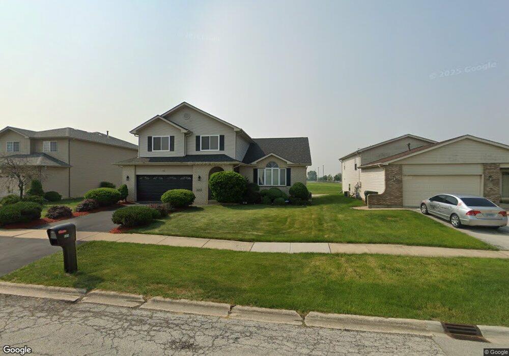
609 Clover Ln University Park, IL 60484
Estimated Value: $219,376 - $357,000
--
Bed
1
Bath
2,289
Sq Ft
$129/Sq Ft
Est. Value
About This Home
This home is located at 609 Clover Ln, University Park, IL 60484 and is currently estimated at $296,094, approximately $129 per square foot. 609 Clover Ln is a home located in Will County with nearby schools including Monee Elementary School, Crete-Monee Middle School, and Crete-Monee High School.
Ownership History
Date
Name
Owned For
Owner Type
Purchase Details
Closed on
Nov 8, 1999
Sold by
State Bank Of Countryside
Bought by
Roseborough Darrell E and Roseborough Gwendolyn Lee
Current Estimated Value
Home Financials for this Owner
Home Financials are based on the most recent Mortgage that was taken out on this home.
Original Mortgage
$168,921
Outstanding Balance
$52,043
Interest Rate
7.87%
Mortgage Type
VA
Estimated Equity
$244,051
Create a Home Valuation Report for This Property
The Home Valuation Report is an in-depth analysis detailing your home's value as well as a comparison with similar homes in the area
Home Values in the Area
Average Home Value in this Area
Purchase History
| Date | Buyer | Sale Price | Title Company |
|---|---|---|---|
| Roseborough Darrell E | $164,500 | -- |
Source: Public Records
Mortgage History
| Date | Status | Borrower | Loan Amount |
|---|---|---|---|
| Open | Roseborough Darrell E | $168,921 |
Source: Public Records
Tax History Compared to Growth
Tax History
| Year | Tax Paid | Tax Assessment Tax Assessment Total Assessment is a certain percentage of the fair market value that is determined by local assessors to be the total taxable value of land and additions on the property. | Land | Improvement |
|---|---|---|---|---|
| 2024 | $8,545 | $84,083 | $10,910 | $73,173 |
| 2023 | $8,545 | $72,485 | $9,405 | $63,080 |
| 2022 | $8,141 | $63,762 | $8,273 | $55,489 |
| 2021 | $7,818 | $59,011 | $7,523 | $51,488 |
| 2020 | $7,723 | $57,098 | $7,279 | $49,819 |
| 2019 | $7,808 | $54,147 | $6,903 | $47,244 |
| 2018 | $7,688 | $52,464 | $6,750 | $45,714 |
| 2017 | $7,598 | $50,914 | $6,539 | $44,375 |
| 2016 | $7,226 | $48,643 | $6,302 | $42,341 |
| 2015 | $6,731 | $45,681 | $5,831 | $39,850 |
| 2014 | $6,731 | $46,318 | $5,826 | $40,492 |
| 2013 | $6,731 | $48,500 | $6,100 | $42,400 |
Source: Public Records
Map
Nearby Homes
- 613 Farmview Rd
- 1244 Harvest Ln
- 1109 Abbot Ln
- 1039 Barrow Ct
- 1031 Blackhawk Dr
- 1039 Abbot Ln
- 1032 Samson Dr
- 1029 Samson Dr
- 740 Mission St
- 537 Nathan Rd
- 543 Regent Rd
- 607 Sullivan Ln
- 608 Sullivan Ln
- 612 Hickok Ave
- 903 Blackhawk Dr
- 662 Sullivan Ln
- 655 Sullivan Ln
- 815 Blackhawk Dr
- 0 S Nacke Rd
- 807 Blackhawk Dr