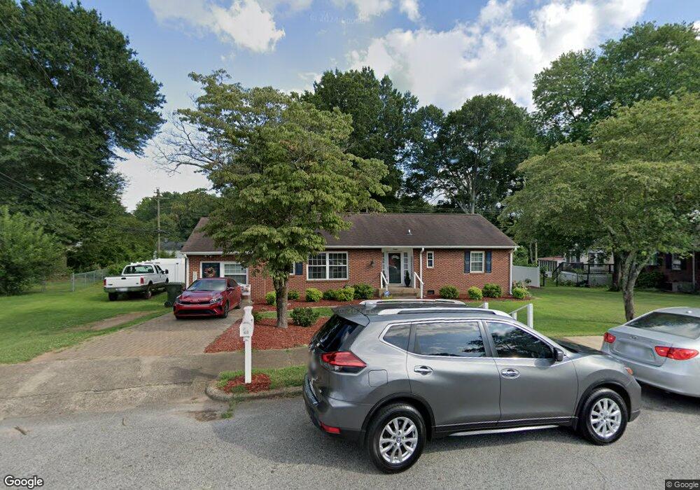
609 Crescent Cir Kings Mountain, NC 28086
Estimated Value: $240,000 - $309,000
--
Bed
--
Bath
1,583
Sq Ft
$173/Sq Ft
Est. Value
About This Home
This home is located at 609 Crescent Cir, Kings Mountain, NC 28086 and is currently estimated at $273,328, approximately $172 per square foot. 609 Crescent Cir is a home located in Cleveland County with nearby schools including West Elementary School, Kings Mountain Middle, and Kings Mountain Intermediate School.
Ownership History
Date
Name
Owned For
Owner Type
Purchase Details
Closed on
Dec 6, 2018
Sold by
Caldwell Phillip C and Gardner Teresa G
Bought by
Booth Nolen Peggy
Current Estimated Value
Home Financials for this Owner
Home Financials are based on the most recent Mortgage that was taken out on this home.
Original Mortgage
$185,000
Outstanding Balance
$162,989
Interest Rate
4.8%
Mortgage Type
VA
Estimated Equity
$110,339
Create a Home Valuation Report for This Property
The Home Valuation Report is an in-depth analysis detailing your home's value as well as a comparison with similar homes in the area
Home Values in the Area
Average Home Value in this Area
Purchase History
| Date | Buyer | Sale Price | Title Company |
|---|---|---|---|
| Booth Nolen Peggy | $185,000 | First American Mortgage Solu |
Source: Public Records
Mortgage History
| Date | Status | Borrower | Loan Amount |
|---|---|---|---|
| Open | Booth Nolen Peggy | $185,000 |
Source: Public Records
Tax History Compared to Growth
Tax History
| Year | Tax Paid | Tax Assessment Tax Assessment Total Assessment is a certain percentage of the fair market value that is determined by local assessors to be the total taxable value of land and additions on the property. | Land | Improvement |
|---|---|---|---|---|
| 2025 | $1,351 | $176,793 | $24,007 | $152,786 |
| 2024 | $1,139 | $140,450 | $21,606 | $118,844 |
| 2023 | $1,134 | $140,450 | $21,606 | $118,844 |
| 2022 | $1,086 | $140,450 | $21,606 | $118,844 |
| 2021 | $1,092 | $140,450 | $21,606 | $118,844 |
| 2020 | $769 | $109,960 | $18,245 | $91,715 |
| 2019 | $1,287 | $109,960 | $18,245 | $91,715 |
| 2018 | $1,285 | $109,960 | $18,245 | $91,715 |
| 2017 | $1,279 | $109,960 | $18,245 | $91,715 |
| 2016 | $1,283 | $109,960 | $18,245 | $91,715 |
| 2015 | $1,210 | $106,409 | $15,364 | $91,045 |
| 2014 | $1,210 | $106,409 | $15,364 | $91,045 |
Source: Public Records
Map
Nearby Homes
- 400 S Cansler St
- 316 S Cansler St
- 411 S Battleground Ave
- 811 W Gold St Unit 26
- 106 N Tracy St
- 200 E Gold St
- 417 Phifer Rd
- 442 Phifer Rd
- 300 N Watterson St
- 112 Fulton Dr
- 310 Campbell Cir
- 110 N Gaston St
- 430 Fulton Dr
- 208 Victoria Cir
- 207 Morris St
- 311 E King St Unit 2
- 710 York Rd
- 5066 Beargrass Dr
- 804 Lee St
- 1301 Shelby Rd
- 607 Crescent Cir
- 611 Crescent Cir
- 616 Meadowbrook Rd
- 618 Meadowbrook Rd
- 614 Meadowbrook Rd
- 620 Meadowbrook Rd
- 612 Meadowbrook Rd
- 605 Crescent Cir
- 622 Meadowbrook Rd
- 622 Meadowbrook Rd Unit 18
- 610 Meadowbrook Rd
- 701 Crescent Cir
- 608 Meadowbrook Rd
- 700 Crescent Cir
- 603 Crescent Cir
- 700 Meadowbrook Rd
- 606 Meadowbrook Rd
- 619 Meadowbrook Rd
- 621 Meadowbrook Rd
- 617 Meadowbrook Rd