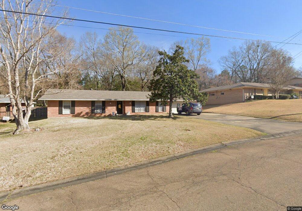
609 Dunton Rd Clinton, MS 39056
Estimated Value: $222,270 - $301,000
3
Beds
2
Baths
1,528
Sq Ft
$160/Sq Ft
Est. Value
About This Home
This home is located at 609 Dunton Rd, Clinton, MS 39056 and is currently estimated at $244,318, approximately $159 per square foot. 609 Dunton Rd is a home located in Hinds County with nearby schools including Clinton Park Elementary School, Eastside Elementary School, and Northside Elementary School.
Ownership History
Date
Name
Owned For
Owner Type
Purchase Details
Closed on
Feb 29, 2016
Sold by
Guidry Neal
Bought by
Westerfield Andrew Gray
Current Estimated Value
Home Financials for this Owner
Home Financials are based on the most recent Mortgage that was taken out on this home.
Original Mortgage
$107,807
Outstanding Balance
$85,724
Interest Rate
3.79%
Mortgage Type
New Conventional
Estimated Equity
$158,594
Create a Home Valuation Report for This Property
The Home Valuation Report is an in-depth analysis detailing your home's value as well as a comparison with similar homes in the area
Home Values in the Area
Average Home Value in this Area
Purchase History
| Date | Buyer | Sale Price | Title Company |
|---|---|---|---|
| Westerfield Andrew Gray | -- | None Available | |
| Westerfield Andrew Gray | -- | Attorney |
Source: Public Records
Mortgage History
| Date | Status | Borrower | Loan Amount |
|---|---|---|---|
| Open | Westerfield Andrew Gray | $107,807 |
Source: Public Records
Tax History
| Year | Tax Paid | Tax Assessment Tax Assessment Total Assessment is a certain percentage of the fair market value that is determined by local assessors to be the total taxable value of land and additions on the property. | Land | Improvement |
|---|---|---|---|---|
| 2025 | $1,078 | $9,101 | $3,500 | $5,601 |
| 2024 | $1,078 | $8,979 | $3,500 | $5,479 |
| 2023 | $1,078 | $8,979 | $3,500 | $5,479 |
| 2022 | $1,365 | $8,979 | $3,500 | $5,479 |
| 2021 | $1,065 | $8,979 | $3,500 | $5,479 |
| 2020 | $1,045 | $8,914 | $3,500 | $5,414 |
| 2019 | $1,073 | $8,914 | $3,500 | $5,414 |
| 2018 | $1,068 | $8,883 | $3,500 | $5,383 |
| 2017 | $1,976 | $8,883 | $3,500 | $5,383 |
| 2016 | $1,976 | $13,325 | $5,250 | $8,075 |
| 2015 | $1,940 | $13,128 | $5,250 | $7,878 |
| 2014 | $1,940 | $13,128 | $5,250 | $7,878 |
Source: Public Records
Map
Nearby Homes
- 000 Clinton Pkwy
- 001 Oakwood Dr
- 532 Bellevue St
- 0 Monroe St
- 0 E College St
- 108 Horseshoe Blvd
- 113 Saratoga Springs Ave
- 0005 Jefferson St
- 0004 Jefferson St
- 0002 Jefferson St
- 107 Brents Crossing
- 809 Oakwood Dr
- 811 Oakwood Dr
- 0 Lakeridge Cove Unit 4130731
- 0 Oakwood Dr Unit 4090318
- 807 Normandy Dr
- 809 Normandy Dr
- 104 Short Dawson St
- 0 Broadway St Unit 4127248
- 1206 Shady Glen Dr
Your Personal Tour Guide
Ask me questions while you tour the home.