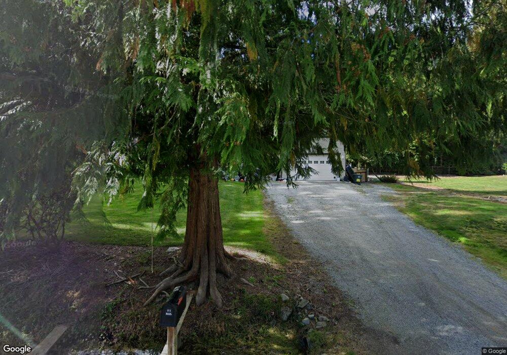
609 E Alder Dr Sedro Woolley, WA 98284
Estimated Value: $477,000 - $559,000
3
Beds
2
Baths
1,509
Sq Ft
$344/Sq Ft
Est. Value
About This Home
This home is located at 609 E Alder Dr, Sedro Woolley, WA 98284 and is currently estimated at $518,360, approximately $343 per square foot. 609 E Alder Dr is a home located in Whatcom County with nearby schools including Mount Baker Senior High School.
Ownership History
Date
Name
Owned For
Owner Type
Purchase Details
Closed on
Aug 17, 2006
Sold by
Parent Robert J and Parent Deborah L
Bought by
Leslie Andrew N
Current Estimated Value
Home Financials for this Owner
Home Financials are based on the most recent Mortgage that was taken out on this home.
Original Mortgage
$236,550
Outstanding Balance
$139,801
Interest Rate
6.76%
Mortgage Type
Purchase Money Mortgage
Estimated Equity
$378,559
Purchase Details
Closed on
Oct 25, 2004
Sold by
Kvale Charles M and Kvale Ruthann L
Bought by
Parent Robert J and Parent Deborah L
Create a Home Valuation Report for This Property
The Home Valuation Report is an in-depth analysis detailing your home's value as well as a comparison with similar homes in the area
Purchase History
| Date | Buyer | Sale Price | Title Company |
|---|---|---|---|
| Leslie Andrew N | $249,280 | Chicago Title Insurance | |
| Parent Robert J | $16,000 | Chicago Title Insurance |
Source: Public Records
Mortgage History
| Date | Status | Borrower | Loan Amount |
|---|---|---|---|
| Open | Leslie Andrew N | $236,550 |
Source: Public Records
Tax History
| Year | Tax Paid | Tax Assessment Tax Assessment Total Assessment is a certain percentage of the fair market value that is determined by local assessors to be the total taxable value of land and additions on the property. | Land | Improvement |
|---|---|---|---|---|
| 2025 | $2,774 | $464,773 | $150,000 | $314,773 |
| 2024 | $3,060 | $379,428 | $101,082 | $278,346 |
| 2023 | $3,060 | $455,771 | $121,420 | $334,351 |
| 2022 | $2,847 | $401,557 | $106,977 | $294,580 |
| 2021 | $2,527 | $318,698 | $84,903 | $233,795 |
| 2020 | $2,489 | $250,943 | $66,853 | $184,090 |
| 2019 | $2,221 | $243,989 | $65,000 | $178,989 |
| 2018 | $2,502 | $236,452 | $51,870 | $184,582 |
| 2017 | $2,017 | $206,530 | $45,319 | $161,211 |
| 2016 | $1,936 | $177,495 | $38,859 | $138,636 |
| 2015 | $2,001 | $168,687 | $37,620 | $131,067 |
| 2014 | -- | $168,687 | $37,620 | $131,067 |
| 2013 | -- | $170,793 | $38,000 | $132,793 |
Source: Public Records
Map
Nearby Homes
- 0 Summerset Way
- 2925 Brook Ln
- 530 Rainbow Dr
- 3026 Beaver Place
- 2923 Brook Ln
- 3025 Pine Ln
- 647 Rainbow Dr
- 0 NHN Lakeside Dr
- 555 Lakeside Dr
- 0 Peak Dr Unit NWM2377365
- 424 Rainbow Dr
- 1 W Alder Dr
- 389 Rainbow Dr
- 0 xxx West Rd
- 750 West Rd
- 3005 Glenhaven Dr
- 369 Rainbow Dr
- 798 West Rd
- 793 Summerset Way
- 0 Lakeside Dr Unit NWM2457153
- 595 E Alder Dr
- 591 E Alder Dr
- 621 E Alder Dr
- 594 Summit Place
- 590 Summit Place
- 610 E Alder Dr
- 620 Summit Place
- 587 E Alder Dr
- 0 E Alder Dr
- 627 E Alder Dr
- 594 E Alder Dr
- 624 Summit Place
- 567 Wildwood Dr
- 584 Summit Place
- 632 Summit Place
- 562 Wildwood Dr
- 582 E Alder Dr
- 624 E Alder Dr
- 580 Summit Place
- 633 E Alder Dr
Your Personal Tour Guide
Ask me questions while you tour the home.