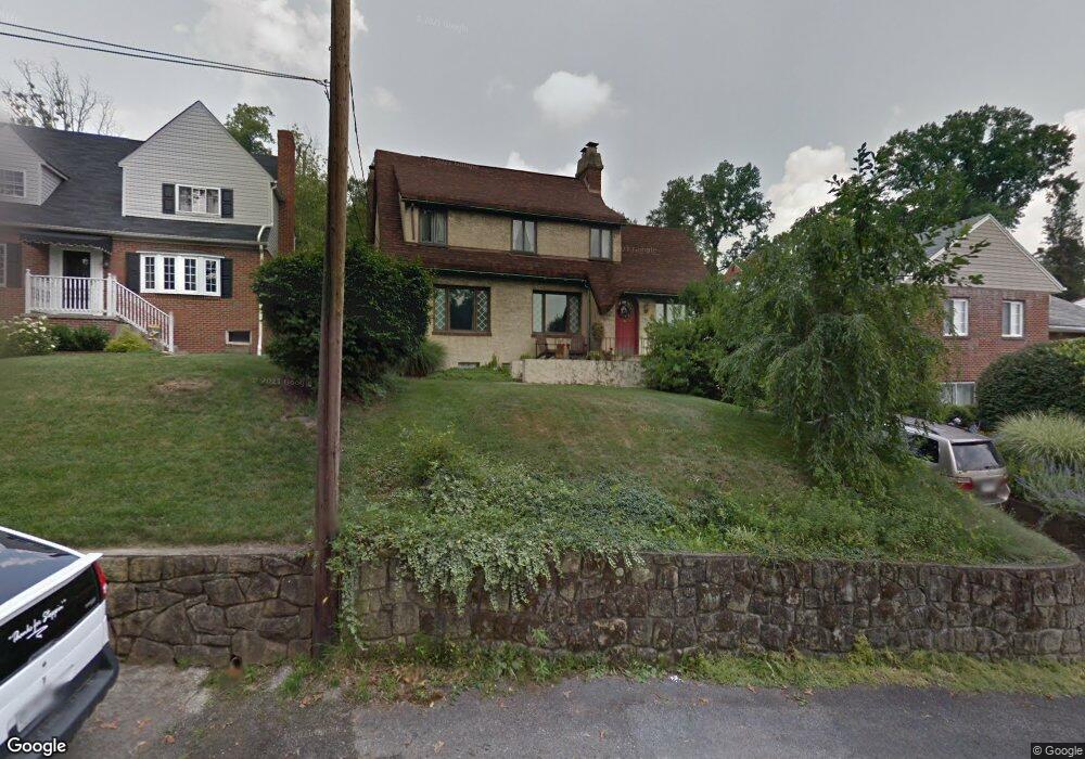
609 Fort Hill Dr Charleston, WV 25314
South Hills NeighborhoodEstimated Value: $246,464 - $288,000
3
Beds
2
Baths
2,033
Sq Ft
$133/Sq Ft
Est. Value
About This Home
This home is located at 609 Fort Hill Dr, Charleston, WV 25314 and is currently estimated at $269,866, approximately $132 per square foot. 609 Fort Hill Dr is a home located in Kanawha County with nearby schools including Weberwood Elementary School, John Adams Middle School, and George Washington High School.
Ownership History
Date
Name
Owned For
Owner Type
Purchase Details
Closed on
Sep 13, 2001
Sold by
Homewood Realty
Bought by
Malinoski Earl
Current Estimated Value
Home Financials for this Owner
Home Financials are based on the most recent Mortgage that was taken out on this home.
Original Mortgage
$159,750
Outstanding Balance
$61,840
Interest Rate
6.89%
Mortgage Type
Purchase Money Mortgage
Estimated Equity
$208,026
Create a Home Valuation Report for This Property
The Home Valuation Report is an in-depth analysis detailing your home's value as well as a comparison with similar homes in the area
Home Values in the Area
Average Home Value in this Area
Purchase History
| Date | Buyer | Sale Price | Title Company |
|---|---|---|---|
| Malinoski Earl | $156,780 | -- |
Source: Public Records
Mortgage History
| Date | Status | Borrower | Loan Amount |
|---|---|---|---|
| Open | Malinoski Earl | $159,750 |
Source: Public Records
Tax History Compared to Growth
Tax History
| Year | Tax Paid | Tax Assessment Tax Assessment Total Assessment is a certain percentage of the fair market value that is determined by local assessors to be the total taxable value of land and additions on the property. | Land | Improvement |
|---|---|---|---|---|
| 2024 | $1,548 | $96,180 | $20,280 | $75,900 |
| 2023 | $1,485 | $92,280 | $20,280 | $72,000 |
| 2022 | $1,485 | $92,280 | $20,280 | $72,000 |
| 2021 | $1,387 | $86,520 | $20,280 | $66,240 |
| 2020 | $1,374 | $86,520 | $20,280 | $66,240 |
| 2019 | $1,366 | $86,520 | $20,280 | $66,240 |
| 2018 | $1,236 | $86,520 | $20,280 | $66,240 |
| 2017 | $1,228 | $86,520 | $20,280 | $66,240 |
| 2016 | $1,220 | $86,520 | $20,280 | $66,240 |
| 2015 | $1,211 | $86,520 | $20,280 | $66,240 |
| 2014 | $1,175 | $85,500 | $20,280 | $65,220 |
Source: Public Records
Map
Nearby Homes
- 606 Fort Hill Dr
- 207 Mckinley Ave
- 311 Mckinley Ave
- 328 Mckinley Ave
- 416 Sheridan Cir
- 617 Churchill Dr
- 619 Churchill Dr
- 202 Kanawha Blvd W
- 502 Kanawha Blvd W
- 112 Park Dr
- 710 & 708 Daverton Rd
- 805 Basil Rd
- 927 Ridgemont Rd
- 611 Grant St
- 836 Walters Rd
- 615 Grant St
- 901 Evanwood Rd
- 711 Main St
- 1507 Rockford Ct
- 316 Wyoming St
- 611 Fort Hill Dr
- 607 Fort Hill Dr
- 613 Fort Hill Dr
- 615 Fort Hill Dr
- 120 Sheridan Cir
- 603 Fort Hill Dr
- 112 Potterfield Dr
- 122 Sheridan Cir
- 114 Sheridan Cir
- 110 Potterfield Dr
- 101 Potterfield Dr
- 108 Potterfield Dr
- 113 Potterfield Dr
- 601 Fort Hill Dr
- 203 Mckinley Ave
- 124 Sheridan Cir
- 608 Deming Dr
- 600 Fort Hill Dr
- 117 Sheridan Cir