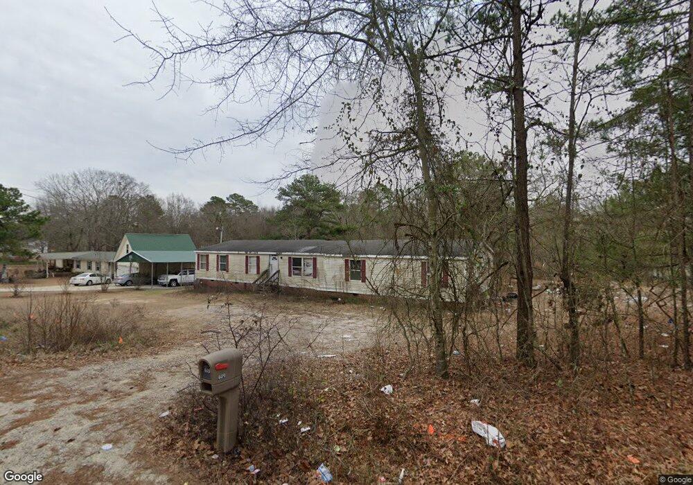
609 Gilchrist Rd Cameron, NC 28326
Estimated Value: $37,000 - $232,000
Studio
--
Bath
2,052
Sq Ft
$53/Sq Ft
Est. Value
About This Home
This home is located at 609 Gilchrist Rd, Cameron, NC 28326 and is currently estimated at $108,667, approximately $52 per square foot. 609 Gilchrist Rd is a home located in Harnett County with nearby schools including Johnsonville Elementary School, Highland Middle School, and Western Harnett High School.
Ownership History
Date
Name
Owned For
Owner Type
Purchase Details
Closed on
Oct 21, 2024
Sold by
Powell John Donovan and Powell Shamekia Ashonda
Bought by
Dowdy Tamekia Lashonda
Current Estimated Value
Purchase Details
Closed on
Jan 13, 2006
Sold by
Brewington Ellen Mccrimmon and Brewington Henry
Bought by
Powell John Donovan and Powell Shamekia Ashonda
Purchase Details
Closed on
Jan 11, 2006
Sold by
Brewington Ellen Mccrimmon and Brewington Henry
Bought by
Powell John Donovan and Powell Shamekia Ashonda
Create a Home Valuation Report for This Property
The Home Valuation Report is an in-depth analysis detailing your home's value as well as a comparison with similar homes in the area
Home Values in the Area
Average Home Value in this Area
Purchase History
| Date | Buyer | Sale Price | Title Company |
|---|---|---|---|
| Dowdy Tamekia Lashonda | -- | None Listed On Document | |
| Powell John Donovan | -- | None Available | |
| Powell John Donovan | -- | None Available |
Source: Public Records
Tax History
| Year | Tax Paid | Tax Assessment Tax Assessment Total Assessment is a certain percentage of the fair market value that is determined by local assessors to be the total taxable value of land and additions on the property. | Land | Improvement |
|---|---|---|---|---|
| 2025 | $203 | $16,650 | $0 | $0 |
| 2024 | $203 | $16,650 | $0 | $0 |
| 2023 | $203 | $16,650 | $0 | $0 |
| 2022 | $203 | $16,650 | $0 | $0 |
| 2021 | $242 | $18,000 | $0 | $0 |
| 2020 | $242 | $18,000 | $0 | $0 |
| 2019 | $227 | $18,000 | $0 | $0 |
| 2018 | $223 | $18,000 | $0 | $0 |
| 2017 | $223 | $18,000 | $0 | $0 |
| 2016 | $223 | $18,000 | $0 | $0 |
| 2015 | $223 | $18,000 | $0 | $0 |
| 2014 | $223 | $18,000 | $0 | $0 |
Source: Public Records
Map
Nearby Homes
- 175 Travis Dr
- 0 Cameron Hill Rd Unit 752434
- 1 Cameron Hill Rd
- 71 Havistock Ct
- 266 Brower Rd
- 544 Asheford Way
- 275 Independence Way
- Tbd Brooks Mangum Rd
- 137 Virginia Ln
- 436 Century Ln
- 227 Constitution Way
- 356 Heritage Way
- 528 Heritage Way
- 121 Jubilee Ct
- 0 Brookridge Dr Unit 756982
- 15 Elijah Ct
- 104 Wilderness Ln
- 85 Ln
- 69 Glider (Lot 4) Ln
- 15 Glider (Lot 1) Ln
- 577 Gilchrist Rd
- 630 Gilchrist Rd
- 660 Gilchrist Rd
- 515 Gilchrist Rd
- 520 Gilchrist Rd
- 827 Cameron Hill Rd
- 715 Gilchrist Rd
- 698 Gilchrist Rd
- 704 Gilchrist Rd
- 10 Walter Ln
- 59 Justin Ln
- 77 Justin Ln
- 32 Walter Ln
- 0 Gilchrist Rd Unit 142708
- 0 Gilchrist Rd Unit 10022219
- 0 Gilchrist Rd Unit 1261025
- 0 Gilchrist Rd Unit 698611
- 0 Gilchrist Rd Unit 491689
- 0 Gilchrist Rd Unit 356036
- 0 Gilchrist Rd Unit 540049
Your Personal Tour Guide
Ask me questions while you tour the home.