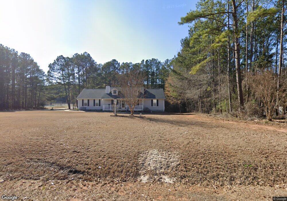
609 Grove Pointe Way Unit 2 Locust Grove, GA 30248
Estimated Value: $252,387 - $273,000
3
Beds
2
Baths
1,485
Sq Ft
$179/Sq Ft
Est. Value
About This Home
This home is located at 609 Grove Pointe Way Unit 2, Locust Grove, GA 30248 and is currently estimated at $265,097, approximately $178 per square foot. 609 Grove Pointe Way Unit 2 is a home located in Henry County with nearby schools including Locust Grove Elementary School, Locust Grove Middle School, and Locust Grove High School.
Ownership History
Date
Name
Owned For
Owner Type
Purchase Details
Closed on
Jun 30, 1998
Sold by
Stockbridge Homes Inc
Bought by
Harris Ronald Dean and Harris Mary Elizabeth
Current Estimated Value
Home Financials for this Owner
Home Financials are based on the most recent Mortgage that was taken out on this home.
Original Mortgage
$98,800
Outstanding Balance
$19,748
Interest Rate
7.04%
Mortgage Type
New Conventional
Estimated Equity
$245,349
Create a Home Valuation Report for This Property
The Home Valuation Report is an in-depth analysis detailing your home's value as well as a comparison with similar homes in the area
Home Values in the Area
Average Home Value in this Area
Purchase History
| Date | Buyer | Sale Price | Title Company |
|---|---|---|---|
| Harris Ronald Dean | $101,900 | -- |
Source: Public Records
Mortgage History
| Date | Status | Borrower | Loan Amount |
|---|---|---|---|
| Open | Harris Ronald Dean | $98,800 |
Source: Public Records
Tax History Compared to Growth
Tax History
| Year | Tax Paid | Tax Assessment Tax Assessment Total Assessment is a certain percentage of the fair market value that is determined by local assessors to be the total taxable value of land and additions on the property. | Land | Improvement |
|---|---|---|---|---|
| 2025 | $2,909 | $108,456 | $14,000 | $94,456 |
| 2024 | $2,909 | $98,760 | $14,000 | $84,760 |
| 2023 | $2,377 | $102,920 | $14,000 | $88,920 |
| 2022 | $2,396 | $82,320 | $14,000 | $68,320 |
| 2021 | $2,005 | $65,800 | $14,000 | $51,800 |
| 2020 | $1,889 | $60,880 | $12,000 | $48,880 |
| 2019 | $1,786 | $56,520 | $12,000 | $44,520 |
| 2018 | $1,648 | $50,680 | $10,800 | $39,880 |
| 2016 | $1,546 | $46,360 | $10,000 | $36,360 |
| 2015 | $1,389 | $41,400 | $8,000 | $33,400 |
| 2014 | $1,154 | $35,200 | $8,000 | $27,200 |
Source: Public Records
Map
Nearby Homes
- 620 Grove Pointe Way
- 121 Jaley Pkwy
- 533 Grove Pointe Ct Unit 1
- 425 Bell Flower Trail
- 107 Coulter Woods Dr
- 213 Umber Rd
- 216 Umber Rd
- 212 Umber Rd
- 208 Umber Rd
- 380 Higgins Rd
- 530 Higgins Rd
- 721 Hosannah Rd
- 128 Locust Rd
- Avion Plan at Bridle Creek
- Elle Plan at Bridle Creek
- Halton Plan at Bridle Creek
- 632 Kimberwick Dr
- 65 Weymouth Dr
- Mansfield Plan at Bridle Creek
- Denton Plan at Bridle Creek
- 607 Grove Pointe Way
- 611 Grove Pointe Way
- 611 Grove Pointe Way Unit 2W
- 450 Grove Pointe Ct Unit 1
- 608 Grove Pointe Way Unit 2
- 442 Grove Pointe Ct
- 605 Grove Pointe Way Unit 125
- 605 Grove Pointe Way Unit 2
- 610 Grove Pointe Way
- 613 Grove Pointe Way Unit 2
- 434 Grove Pointe Ct Unit I
- 466 Grove Pointe Ct
- 612 Grove Pointe Way
- 604 Grove Pointe Way
- 211 Grove Pointe Dr
- 603 Grove Pointe Way Unit 2
- 451 Grove Pointe Ct Unit 1
- 210 Grove Pointe Dr
- 426 Grove Pointe Ct
- 443 Grove Pointe Ct