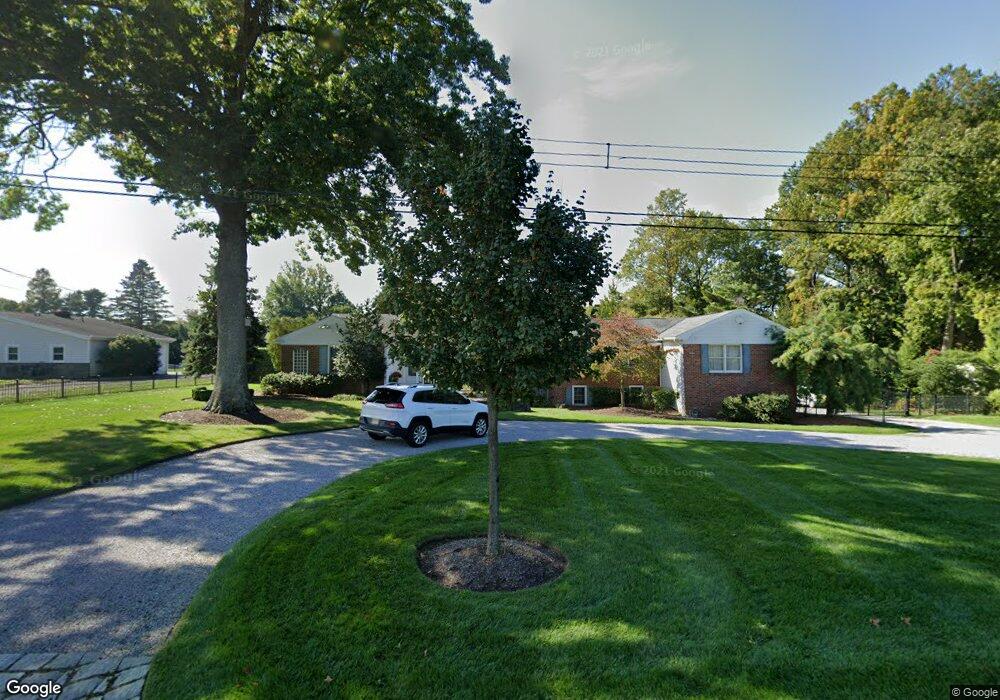
609 Harding Rd Little Silver, NJ 07739
Estimated Value: $1,645,000 - $2,924,000
4
Beds
3
Baths
3,242
Sq Ft
$623/Sq Ft
Est. Value
About This Home
This home is located at 609 Harding Rd, Little Silver, NJ 07739 and is currently estimated at $2,019,897, approximately $623 per square foot. 609 Harding Rd is a home located in Monmouth County with nearby schools including Point Road School, Markham Place School, and Red Bank Regional High School.
Ownership History
Date
Name
Owned For
Owner Type
Purchase Details
Closed on
Aug 1, 2006
Sold by
Boden Rodney
Bought by
Ryser Martin and Ryser Carol D
Current Estimated Value
Home Financials for this Owner
Home Financials are based on the most recent Mortgage that was taken out on this home.
Original Mortgage
$400,000
Outstanding Balance
$239,370
Interest Rate
6.7%
Mortgage Type
Purchase Money Mortgage
Estimated Equity
$1,780,527
Purchase Details
Closed on
Jul 30, 1999
Sold by
Cady Terence
Bought by
Boden Rodney and Boden Elizabeth
Home Financials for this Owner
Home Financials are based on the most recent Mortgage that was taken out on this home.
Original Mortgage
$300,000
Interest Rate
7.61%
Mortgage Type
Purchase Money Mortgage
Purchase Details
Closed on
Jun 29, 1995
Sold by
Martin Donal
Bought by
Cady Terence and Cady Joy
Home Financials for this Owner
Home Financials are based on the most recent Mortgage that was taken out on this home.
Original Mortgage
$45,000
Interest Rate
7.84%
Mortgage Type
Purchase Money Mortgage
Create a Home Valuation Report for This Property
The Home Valuation Report is an in-depth analysis detailing your home's value as well as a comparison with similar homes in the area
Home Values in the Area
Average Home Value in this Area
Purchase History
| Date | Buyer | Sale Price | Title Company |
|---|---|---|---|
| Ryser Martin | $786,000 | -- | |
| Boden Rodney | $482,500 | -- | |
| Cady Terence | $365,000 | -- |
Source: Public Records
Mortgage History
| Date | Status | Borrower | Loan Amount |
|---|---|---|---|
| Open | Ryser Martin | $400,000 | |
| Previous Owner | Boden Rodney | $300,000 | |
| Previous Owner | Cady Terence | $45,000 |
Source: Public Records
Tax History Compared to Growth
Tax History
| Year | Tax Paid | Tax Assessment Tax Assessment Total Assessment is a certain percentage of the fair market value that is determined by local assessors to be the total taxable value of land and additions on the property. | Land | Improvement |
|---|---|---|---|---|
| 2025 | $17,849 | $1,154,900 | $724,700 | $430,200 |
| 2024 | $17,327 | $1,057,400 | $636,000 | $421,400 |
| 2023 | $17,327 | $962,600 | $551,000 | $411,600 |
| 2022 | $16,582 | $883,400 | $491,500 | $391,900 |
| 2021 | $16,582 | $840,000 | $491,500 | $348,500 |
| 2020 | $16,869 | $832,200 | $491,500 | $340,700 |
| 2019 | $16,521 | $830,200 | $491,500 | $338,700 |
| 2018 | $18,286 | $915,200 | $549,300 | $365,900 |
| 2017 | $18,152 | $904,000 | $549,300 | $354,700 |
| 2016 | $17,759 | $895,100 | $549,300 | $345,800 |
| 2015 | $17,981 | $895,000 | $520,800 | $374,200 |
| 2014 | $18,101 | $841,900 | $520,800 | $321,100 |
Source: Public Records
Map
Nearby Homes
- 603 Harding Rd
- 617 Harding Rd
- 595 Harding Rd
- 621 Harding Rd
- 660 Harding Rd
- 168 Alderbrook Rd Unit 168
- 170 Alderbrook Rd
- 182 Woods End Dr
- 166 Alderbrook Rd
- 589 Harding Rd
- 184 Woods End Dr
- 186 Woods End Dr
- 164 Alderbrook Rd
- 188 Woods End Dr
- 180 Woods End Dr Unit C
- 668 Harding Rd
- 625 Harding Rd
- 178 Woods End Dr Unit 178
- 162 Alderbrook Rd
- 176 Woods End Dr