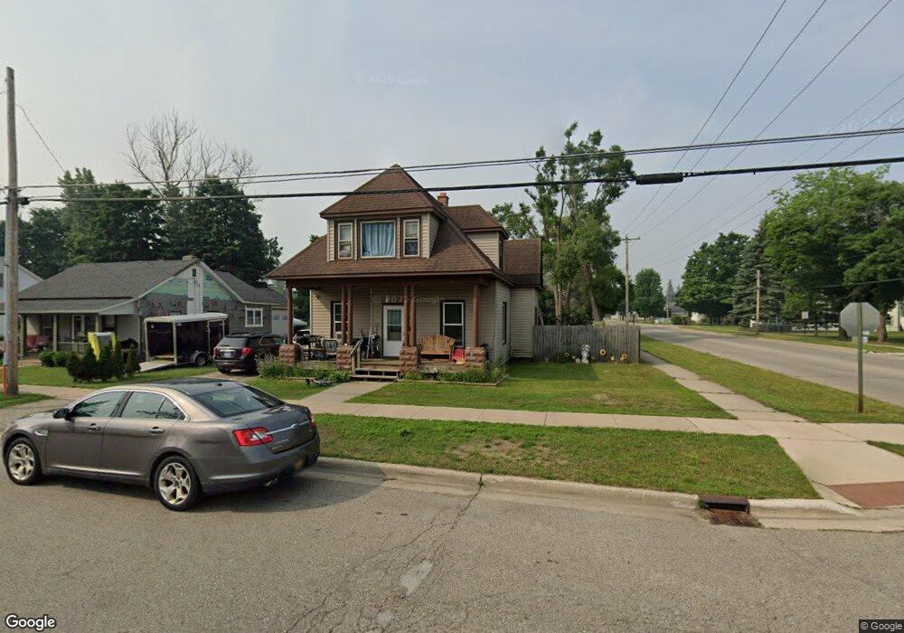
609 Maple St Grayling, MI 49738
Estimated Value: $141,000 - $184,000
4
Beds
1
Bath
2,400
Sq Ft
$67/Sq Ft
Est. Value
About This Home
This home is located at 609 Maple St, Grayling, MI 49738 and is currently estimated at $160,454, approximately $66 per square foot. 609 Maple St is a home located in Crawford County with nearby schools including Grayling Elementary School, Grayling Middle School, and Grayling High School.
Ownership History
Date
Name
Owned For
Owner Type
Purchase Details
Closed on
Jun 27, 2008
Bought by
Nelson Jeffrey A and Nelson Heather
Current Estimated Value
Purchase Details
Closed on
Jun 20, 2008
Bought by
Nelson Jeffrey A and Nelson Heather
Purchase Details
Closed on
Oct 31, 2007
Bought by
Cit Group/Consumer Finance, Inc
Purchase Details
Closed on
Sep 5, 2007
Bought by
Cit Group/Consumer Finance, Inc
Purchase Details
Closed on
Jan 9, 2001
Sold by
Golnick Claude and Golnick Reba
Bought by
Galloway Elizabeth A
Purchase Details
Closed on
Jun 23, 1994
Purchase Details
Closed on
Nov 28, 1988
Bought by
Golnick Claude A and Golnick Reba J
Purchase Details
Closed on
Jul 12, 1976
Sold by
Declaire Lois J
Bought by
Ockerman Toc and Cynthia Marie
Create a Home Valuation Report for This Property
The Home Valuation Report is an in-depth analysis detailing your home's value as well as a comparison with similar homes in the area
Home Values in the Area
Average Home Value in this Area
Purchase History
| Date | Buyer | Sale Price | Title Company |
|---|---|---|---|
| Nelson Jeffrey A | $50,000 | -- | |
| Nelson Jeffrey A | -- | -- | |
| Cit Group/Consumer Finance, Inc | -- | -- | |
| Cit Group/Consumer Finance, Inc | -- | -- | |
| Galloway Elizabeth A | $72,000 | -- | |
| -- | $21,500 | -- | |
| Golnick Claude A | $18,000 | -- | |
| Ockerman Toc | $21,500 | -- |
Source: Public Records
Tax History
| Year | Tax Paid | Tax Assessment Tax Assessment Total Assessment is a certain percentage of the fair market value that is determined by local assessors to be the total taxable value of land and additions on the property. | Land | Improvement |
|---|---|---|---|---|
| 2025 | $1,604 | $50,600 | $50,600 | $0 |
| 2024 | $1,567 | $47,500 | $47,500 | $0 |
| 2023 | $1,500 | $41,500 | $41,500 | $0 |
| 2022 | $1,425 | $34,900 | $34,900 | $0 |
| 2021 | $1,620 | $33,000 | $33,000 | $0 |
| 2020 | $1,598 | $31,700 | $31,700 | $0 |
| 2019 | $1,564 | $31,300 | $31,300 | $0 |
| 2018 | $1,533 | $27,800 | $27,800 | $0 |
| 2017 | $1,335 | $28,000 | $28,000 | $0 |
| 2016 | $1,324 | $23,800 | $23,800 | $0 |
| 2015 | -- | $23,800 | $0 | $0 |
| 2014 | -- | $25,200 | $0 | $0 |
| 2013 | -- | $25,600 | $0 | $0 |
Source: Public Records
Map
Nearby Homes
- 809 Maple St
- 704 Elm St
- 601 Peninsular Ave
- Lot 4 Erie St
- 1024 S I-75 Business Loop
- 205 Park St
- 1205 E Michigan Ave
- 000 W M-72 Hwy
- 110 State St
- 109 Madsen St
- V/L L71-75 Evergreen Dr
- 4593 Orbit Dr
- 5973 W M-72 Hwy
- 300 Rolla St
- V/L Lot 9 Norseman Dr
- V/L Lot 2 Norseman Dr
- V/L Lot 10 Norseman Dr
- V/L Lot 1 Norseman Dr
- 4900 Helen Dr
- 6960 Trem Pal Rd
Your Personal Tour Guide
Ask me questions while you tour the home.