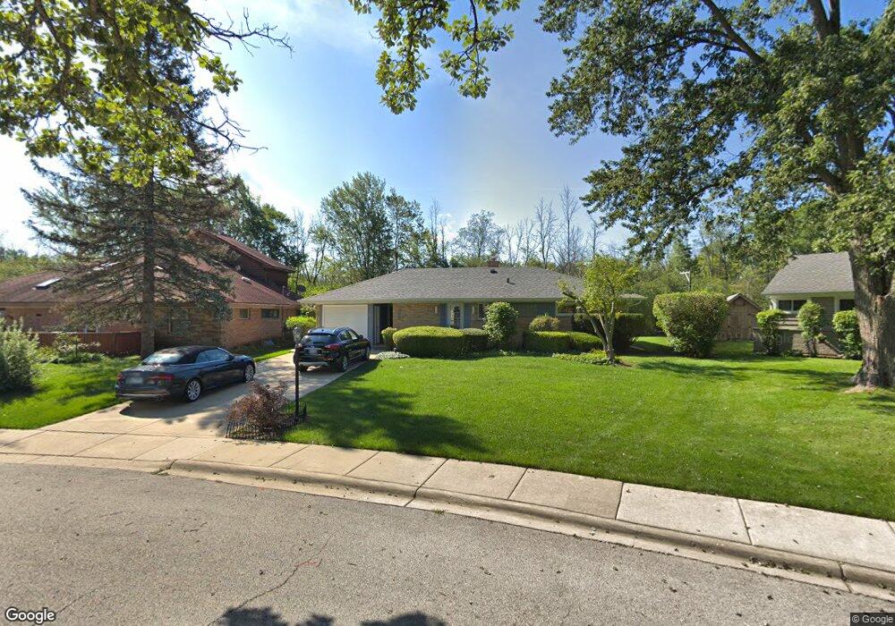
609 Marshall Rd Northbrook, IL 60062
Estimated Value: $460,000 - $579,000
3
Beds
1
Bath
1,555
Sq Ft
$335/Sq Ft
Est. Value
About This Home
This home is located at 609 Marshall Rd, Northbrook, IL 60062 and is currently estimated at $521,165, approximately $335 per square foot. 609 Marshall Rd is a home located in Cook County with nearby schools including Meadowbrook Elementary School, Northbrook Junior High School, and Glenbrook North High School.
Ownership History
Date
Name
Owned For
Owner Type
Purchase Details
Closed on
May 31, 1994
Sold by
Sherman Craig and Sherman Jodi S
Bought by
Pirruccello Frank W
Current Estimated Value
Home Financials for this Owner
Home Financials are based on the most recent Mortgage that was taken out on this home.
Original Mortgage
$130,000
Interest Rate
8.48%
Create a Home Valuation Report for This Property
The Home Valuation Report is an in-depth analysis detailing your home's value as well as a comparison with similar homes in the area
Home Values in the Area
Average Home Value in this Area
Purchase History
| Date | Buyer | Sale Price | Title Company |
|---|---|---|---|
| Pirruccello Frank W | $230,000 | -- |
Source: Public Records
Mortgage History
| Date | Status | Borrower | Loan Amount |
|---|---|---|---|
| Previous Owner | Pirruccello Frank W | $130,000 |
Source: Public Records
Tax History Compared to Growth
Tax History
| Year | Tax Paid | Tax Assessment Tax Assessment Total Assessment is a certain percentage of the fair market value that is determined by local assessors to be the total taxable value of land and additions on the property. | Land | Improvement |
|---|---|---|---|---|
| 2025 | $8,688 | $47,000 | $21,039 | $25,961 |
| 2024 | $8,688 | $44,000 | $21,880 | $22,120 |
| 2023 | $8,385 | $44,000 | $21,880 | $22,120 |
| 2022 | $8,385 | $44,000 | $21,880 | $22,120 |
| 2021 | $7,600 | $36,418 | $17,672 | $18,746 |
| 2020 | $7,549 | $36,418 | $17,672 | $18,746 |
| 2019 | $7,321 | $40,020 | $17,672 | $22,348 |
| 2018 | $7,194 | $36,903 | $15,568 | $21,335 |
| 2017 | $7,033 | $36,903 | $15,568 | $21,335 |
| 2016 | $6,999 | $36,903 | $15,568 | $21,335 |
| 2015 | $7,297 | $33,422 | $13,044 | $20,378 |
| 2014 | $6,982 | $33,422 | $13,044 | $20,378 |
| 2013 | $6,754 | $33,422 | $13,044 | $20,378 |
Source: Public Records
Map
Nearby Homes
- 1000 Dell Rd
- 24 Bridlewood Rd
- 1251 Gateway Ct
- 1150 Willow Ln
- 1219 Ridgewood Dr
- 1930 Sunset Ridge Rd
- 849 Country Club Ln
- 759 Strawberry Hill Dr
- 535 Fairway Ln
- 863 Bittersweet Dr
- 1443 Woodhill Dr
- 1 Morrison Rd
- 1133 Mayfair Ln
- 1265 Longmeadow Ln
- 1106 Hohlfelder Rd
- 831 Balmoral Ln
- 1125 Hohlfelder Rd
- 908 Elm Place
- 1380 Rosemary Ln
- 1171 Hohlfelder Rd
- 607 Marshall Rd
- 611 Marshall Rd
- 605 Marshall Rd
- 613 Marshall Rd
- 1043 Marshall Rd
- 606 Marshall Rd
- 603 Marshall Rd
- 1042 Marshall Rd
- 604 Marshall Rd
- 602 Marshall Rd
- 1041 Marshall Rd
- 1040 Marshall Rd
- 601 Marshall Rd
- 1038 Marshall Rd
- 600 Marshall Rd
- 1042 Whitfield Rd
- 1039 Marshall Rd
- 1100 Whitfield Rd
- 1040 Whitfield Rd
- 1104 Whitfield Rd