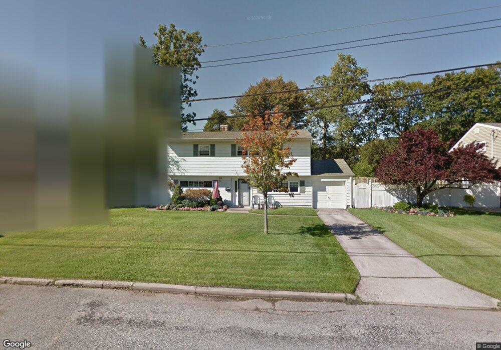
609 Morrison St Babylon, NY 11702
Estimated Value: $593,879 - $711,000
Studio
1
Bath
1,593
Sq Ft
$414/Sq Ft
Est. Value
About This Home
This home is located at 609 Morrison St, Babylon, NY 11702 and is currently estimated at $658,720, approximately $413 per square foot. 609 Morrison St is a home located in Suffolk County with nearby schools including Robert Moses Middle School, North Babylon High School, and South Bay Junior Academy.
Ownership History
Date
Name
Owned For
Owner Type
Purchase Details
Closed on
Jul 15, 1999
Sold by
Talbot Evans A
Bought by
Augello Michael J and Augello Kerry Anne
Current Estimated Value
Home Financials for this Owner
Home Financials are based on the most recent Mortgage that was taken out on this home.
Original Mortgage
$120,000
Outstanding Balance
$33,746
Interest Rate
7.61%
Estimated Equity
$624,974
Create a Home Valuation Report for This Property
The Home Valuation Report is an in-depth analysis detailing your home's value as well as a comparison with similar homes in the area
Home Values in the Area
Average Home Value in this Area
Purchase History
| Date | Buyer | Sale Price | Title Company |
|---|---|---|---|
| Augello Michael J | $150,000 | Chicago Title |
Source: Public Records
Mortgage History
| Date | Status | Borrower | Loan Amount |
|---|---|---|---|
| Open | Augello Michael J | $120,000 |
Source: Public Records
Tax History
| Year | Tax Paid | Tax Assessment Tax Assessment Total Assessment is a certain percentage of the fair market value that is determined by local assessors to be the total taxable value of land and additions on the property. | Land | Improvement |
|---|---|---|---|---|
| 2022 | $8,522 | $3,355 | $365 | $2,990 |
| 2021 | $8,522 | $3,355 | $365 | $2,990 |
| 2020 | $9,014 | $3,355 | $365 | $2,990 |
| 2019 | $9,014 | $0 | $0 | $0 |
Source: Public Records
Map
Nearby Homes
- 519 Gwynn St
- 418 Old Farmingdale Rd
- 214 Ralph Ave
- 83 Vanderbilt Ave
- 9 Hinton Ave
- 104 Hawthorne Ave
- 9 Hamilton Ave
- 7 Lico Place
- 22 Berkshire Rd
- 41 Liberty Ave
- 28 Vanderbilt Ave
- 30 Jenkins Ave
- 60 Liberty Ave
- 104 Frederick Ave
- 643 Deer Park Ave
- 118 Terrace Ave
- 32 Springwood Dr
- 359 Park Ave
- 43 Springwood Dr
- 771 Peconic Ave
- 613 Morrison St
- 605 Morrison St
- 617 Morrison St
- 610 Morrison St
- 606 Morrison St
- 614 Morrison St
- 601 Morrison St
- 601 Morrison St
- 602 Morrison St
- 618 Morrison St
- 621 Morrison St
- 5 Morrison St Unit Right
- 63 Pilcher St
- 57 Pilcher St
- 622 Morrison St
- 222 Morrison St
- 69 Pilcher St
- 51 Pilcher St
- 625 Morrison St
- 482 Old Farmingdale Rd
Your Personal Tour Guide
Ask me questions while you tour the home.