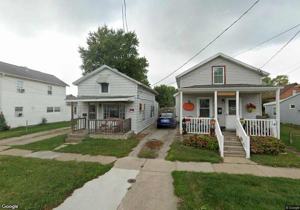
609 Pearl St Sandusky, OH 44870
Estimated Value: $102,039 - $151,000
--
Bed
--
Bath
--
Sq Ft
3,615
Sq Ft Lot
About This Home
This home is located at 609 Pearl St, Sandusky, OH 44870 and is currently estimated at $116,760. 609 Pearl St is a home located in Erie County with nearby schools including Sandusky High School, Monroe Preparatory Academy, and Sandusky Central Catholic School.
Ownership History
Date
Name
Owned For
Owner Type
Purchase Details
Closed on
May 21, 2012
Sold by
Estate Of Debra A Oeder
Bought by
Smith David
Current Estimated Value
Home Financials for this Owner
Home Financials are based on the most recent Mortgage that was taken out on this home.
Original Mortgage
$26,500
Interest Rate
3.65%
Mortgage Type
New Conventional
Purchase Details
Closed on
Jun 21, 1996
Sold by
Decker Glen A
Bought by
Oeder Debra A
Home Financials for this Owner
Home Financials are based on the most recent Mortgage that was taken out on this home.
Original Mortgage
$28,000
Interest Rate
8.29%
Mortgage Type
New Conventional
Create a Home Valuation Report for This Property
The Home Valuation Report is an in-depth analysis detailing your home's value as well as a comparison with similar homes in the area
Home Values in the Area
Average Home Value in this Area
Purchase History
| Date | Buyer | Sale Price | Title Company |
|---|---|---|---|
| Smith David | -- | Lawyers Title Ins Corp | |
| Oeder Debra A | $30,000 | -- |
Source: Public Records
Mortgage History
| Date | Status | Borrower | Loan Amount |
|---|---|---|---|
| Previous Owner | Smith David | $26,500 | |
| Previous Owner | Oeder Debra A | $28,000 |
Source: Public Records
Tax History Compared to Growth
Tax History
| Year | Tax Paid | Tax Assessment Tax Assessment Total Assessment is a certain percentage of the fair market value that is determined by local assessors to be the total taxable value of land and additions on the property. | Land | Improvement |
|---|---|---|---|---|
| 2024 | $90 | $2,170 | $2,023 | $147 |
| 2023 | $86 | $1,687 | $1,617 | $70 |
| 2022 | $86 | $1,687 | $1,617 | $70 |
| 2021 | $86 | $1,690 | $1,620 | $70 |
| 2020 | $93 | $1,670 | $1,620 | $50 |
| 2019 | $96 | $1,670 | $1,620 | $50 |
| 2018 | $96 | $1,670 | $1,620 | $50 |
| 2017 | $105 | $1,820 | $1,740 | $80 |
| 2016 | $105 | $1,820 | $1,740 | $80 |
| 2015 | $95 | $1,820 | $1,740 | $80 |
| 2014 | $94 | $1,820 | $1,740 | $80 |
| 2013 | $93 | $1,820 | $1,740 | $80 |
Source: Public Records
Map
Nearby Homes
- 1017 Putnam St
- 1813 Sandusky St
- 1204 W Monroe St
- 1329 Carr St
- 1413 Seneca St
- 1225 Polk St
- 1318 Mills St
- 1530 Camp St
- 1319 Tiffin Ave
- 1207 Central Ave
- 934 W Washington St Unit 2B
- 934 W Washington St Unit 1A
- 912 Central Ave
- 1311 Filmore St
- 1618 Mcdonough St
- 610 W Washington St
- 823 Decatur St
- 831 Decatur St
- 613 W Washington St
- 1604 Central Ave