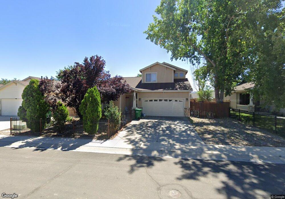
609 Rock Island Dr Dayton, NV 89403
Estimated Value: $400,000 - $429,000
4
Beds
3
Baths
1,704
Sq Ft
$247/Sq Ft
Est. Value
About This Home
This home is located at 609 Rock Island Dr, Dayton, NV 89403 and is currently estimated at $420,406, approximately $246 per square foot. 609 Rock Island Dr is a home located in Lyon County with nearby schools including Sutro Elementary School, Dayton Intermediate School, and Dayton High School.
Create a Home Valuation Report for This Property
The Home Valuation Report is an in-depth analysis detailing your home's value as well as a comparison with similar homes in the area
Home Values in the Area
Average Home Value in this Area
Tax History Compared to Growth
Tax History
| Year | Tax Paid | Tax Assessment Tax Assessment Total Assessment is a certain percentage of the fair market value that is determined by local assessors to be the total taxable value of land and additions on the property. | Land | Improvement |
|---|---|---|---|---|
| 2025 | $1,780 | $116,400 | $57,750 | $58,650 |
| 2024 | $1,728 | $116,690 | $57,750 | $58,940 |
| 2023 | $1,728 | $113,071 | $57,750 | $55,321 |
| 2022 | $1,377 | $99,193 | $48,090 | $51,103 |
| 2021 | $1,337 | $93,699 | $43,785 | $49,914 |
| 2020 | $1,297 | $91,738 | $43,790 | $47,948 |
| 2019 | $1,259 | $75,645 | $29,190 | $46,455 |
| 2018 | $1,223 | $66,295 | $21,000 | $45,295 |
| 2017 | $1,187 | $59,352 | $14,000 | $45,352 |
| 2016 | $1,157 | $50,054 | $7,880 | $42,174 |
| 2015 | $1,155 | $38,986 | $7,880 | $31,106 |
| 2014 | $1,121 | $35,111 | $7,880 | $27,231 |
Source: Public Records
Map
Nearby Homes
- 628 Rock Island Dr
- 300 Golden Pick Dr
- 298 Monte Cristo Dr
- 201 Crown Point Dr
- 539 Rawe Peak Dr
- 618 Union Rd
- 618 Union Rd Unit Lot 67
- 463 Sheep Camp Dr
- 467 Sheep Camp Dr
- 469 Sheep Camp Dr
- 471 Sheep Camp Dr Unit Lot 139
- WASHOE Plan at Amber Ridge
- YOSEMITE Plan at Amber Ridge
- TAHOE Plan at Amber Ridge
- TOPAZ Plan at Amber Ridge
- 473 Sheep Camp Dr Unit Lot 140
- 697 Canon Rd
- 697 Canon Rd Unit Homesite 45
- 695 Canon Rd Unit Homesite 46
- 695 Canon Rd
- 607 Rock Island Dr
- 611 Rock Island Dr
- 422 Sheepcamp Dr
- 422 Sheep Camp Dr
- 420 Sheep Camp Dr
- 605 Rock Island Dr
- 613 Rock Island Dr
- 700 Pacific Ct
- 418 Sheep Camp Dr
- 426 Sheep Camp Dr
- 615 Rock Island Dr
- 603 Rock Island Dr
- 614 Rock Island Dr
- 604 Rock Island Dr
- 428 Sheep Camp Dr
- 416 Sheep Camp Dr
- 702 Pacific Ct
- 602 Rock Island Dr
- 616 Rock Island Dr
- 617 Rock Island Dr