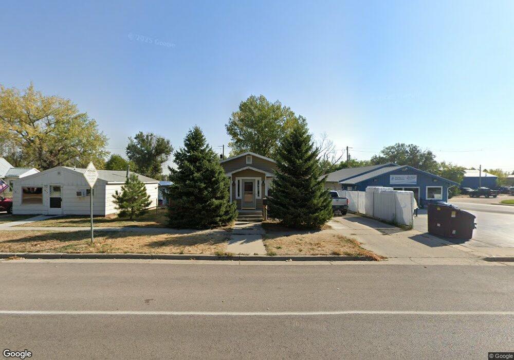
609 S Brooks Ave Gillette, WY 82716
Estimated Value: $204,000 - $272,000
3
Beds
2
Baths
960
Sq Ft
$252/Sq Ft
Est. Value
About This Home
This home is located at 609 S Brooks Ave, Gillette, WY 82716 and is currently estimated at $241,889, approximately $251 per square foot. 609 S Brooks Ave is a home located in Campbell County with nearby schools including Westwood High School, Meadowlark Elementary School, and Twin Spruce Junior High School.
Ownership History
Date
Name
Owned For
Owner Type
Purchase Details
Closed on
Mar 31, 2005
Sold by
Deberg Jack E
Bought by
Moffitt David
Current Estimated Value
Home Financials for this Owner
Home Financials are based on the most recent Mortgage that was taken out on this home.
Original Mortgage
$125,000
Outstanding Balance
$64,212
Interest Rate
5.71%
Mortgage Type
New Conventional
Estimated Equity
$177,677
Create a Home Valuation Report for This Property
The Home Valuation Report is an in-depth analysis detailing your home's value as well as a comparison with similar homes in the area
Home Values in the Area
Average Home Value in this Area
Purchase History
| Date | Buyer | Sale Price | Title Company |
|---|---|---|---|
| Moffitt David | -- | Stewart Title Company Of Gil |
Source: Public Records
Mortgage History
| Date | Status | Borrower | Loan Amount |
|---|---|---|---|
| Open | Moffitt David | $125,000 |
Source: Public Records
Tax History Compared to Growth
Tax History
| Year | Tax Paid | Tax Assessment Tax Assessment Total Assessment is a certain percentage of the fair market value that is determined by local assessors to be the total taxable value of land and additions on the property. | Land | Improvement |
|---|---|---|---|---|
| 2025 | $1,298 | $14,835 | $2,726 | $12,109 |
| 2024 | $1,298 | $18,462 | $3,658 | $14,804 |
| 2023 | $1,259 | $17,893 | $3,658 | $14,235 |
| 2022 | $1,137 | $16,111 | $3,183 | $12,928 |
| 2021 | $1,037 | $15,198 | $3,183 | $12,015 |
| 2020 | $1,019 | $14,972 | $3,183 | $11,789 |
| 2019 | $933 | $13,737 | $3,183 | $10,554 |
| 2018 | $853 | $12,620 | $3,183 | $9,437 |
| 2017 | $924 | $13,693 | $2,826 | $10,867 |
| 2016 | $931 | $13,785 | $2,826 | $10,959 |
| 2015 | -- | $13,109 | $2,826 | $10,283 |
| 2014 | -- | $12,605 | $2,826 | $9,779 |
Source: Public Records
Map
Nearby Homes
- 700 S Brooks Ave
- 609 S Miller Ave
- 409 S Emerson Ave
- 304 S Emerson Ave
- 816 E 9th St
- 907 E 4th St
- 425 Circle Dr
- 819 E 12th St
- 706 S Gillette Ave
- 905 S Gurley Ave
- 1005 Santee Dr
- 808 S Gillette Ave
- 207 N Bundy Ave
- 1028 E 9th St
- 911 S Warren Ave
- 308 S Warren Ave
- 1041 Teton Cir
- 100 W Hogeye Dr
- 913 A&B E 12th St
- 410 N Osborne Ave
- 607 S Brooks Ave
- 605 S Brooks Ave
- 603 S Brooks Ave
- 608 S Miller Ave
- 604 S Miller Ave
- 511 E 7th St
- 610 S Miller Ave
- 608 S Brooks Ave
- 602 S Miller Ave
- 606 S Brooks Ave
- 604 S Brooks Ave
- 600 S Miller Ave
- 602 S Brooks Ave
- 600 S Brooks Ave
- 506 E 7th St
- 702 S Brooks Ave
- 705 S Brooks Ave
- 505 E 7th St
- 704 S Brooks Ave
- 511 E 8th St