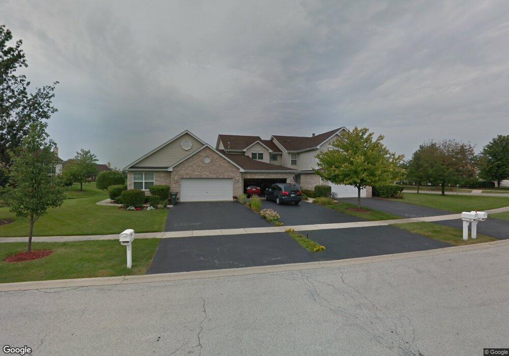
609 Schooner Dr New Lenox, IL 60451
Estimated Value: $335,289 - $390,000
--
Bed
--
Bath
--
Sq Ft
0.3
Acres
About This Home
This home is located at 609 Schooner Dr, New Lenox, IL 60451 and is currently estimated at $361,322. 609 Schooner Dr is a home located in Will County with nearby schools including Spencer Trail, Spencer Pointe, and Spencer Crossing Intermediate School.
Ownership History
Date
Name
Owned For
Owner Type
Purchase Details
Closed on
Mar 2, 2016
Sold by
Johnson Dale S and Pesavento Mary E
Bought by
Johnson Dale S and Revoca Mary
Current Estimated Value
Purchase Details
Closed on
Feb 21, 2000
Sold by
State Bank Of Countryside
Bought by
Johnson Dale S and Pesavento Mary E
Home Financials for this Owner
Home Financials are based on the most recent Mortgage that was taken out on this home.
Original Mortgage
$140,500
Interest Rate
8.26%
Mortgage Type
Purchase Money Mortgage
Create a Home Valuation Report for This Property
The Home Valuation Report is an in-depth analysis detailing your home's value as well as a comparison with similar homes in the area
Home Values in the Area
Average Home Value in this Area
Purchase History
| Date | Buyer | Sale Price | Title Company |
|---|---|---|---|
| Johnson Dale S | -- | Attorney | |
| Johnson Dale S | $176,000 | Chicago Title Insurance Co |
Source: Public Records
Mortgage History
| Date | Status | Borrower | Loan Amount |
|---|---|---|---|
| Previous Owner | Johnson Dale S | $140,500 |
Source: Public Records
Tax History Compared to Growth
Tax History
| Year | Tax Paid | Tax Assessment Tax Assessment Total Assessment is a certain percentage of the fair market value that is determined by local assessors to be the total taxable value of land and additions on the property. | Land | Improvement |
|---|---|---|---|---|
| 2024 | $6,694 | $98,486 | $10,487 | $87,999 |
| 2023 | $6,694 | $89,778 | $9,560 | $80,218 |
| 2022 | $6,205 | $82,707 | $8,807 | $73,900 |
| 2021 | $4,667 | $77,784 | $8,283 | $69,501 |
| 2020 | $4,712 | $75,008 | $7,987 | $67,021 |
| 2019 | $4,663 | $72,682 | $7,739 | $64,943 |
| 2018 | $4,728 | $70,176 | $7,472 | $62,704 |
| 2017 | $4,634 | $68,158 | $7,257 | $60,901 |
| 2016 | $4,631 | $66,334 | $7,063 | $59,271 |
| 2015 | $5,577 | $64,246 | $6,841 | $57,405 |
| 2014 | $5,577 | $69,459 | $6,757 | $62,702 |
| 2013 | $5,577 | $70,395 | $6,848 | $63,547 |
Source: Public Records
Map
Nearby Homes
- 651 Schooner Dr
- 2667 E Lincoln Hwy
- 190 Pottawatomie Ln
- 2758 Bluestone Bay Dr
- 641 Lisson Grove
- 701 Bishops Gate
- 2848 Southwind Dr
- 1351 E Lincoln Hwy
- 1535 Glenbrooke Ln
- 21170 Sage Brush Ln
- 21359 Saddle Ln
- 21244 Sage Brush Ln
- 214 Somerset Ct
- 21606 Skyway Dr
- 501 Bryan Trail
- 21409 Foxtail Dr
- 709 Garadice Dr
- 1595 Glenbrooke Ln
- 1591 Glenbrooke Ln
- 1587 Glenbrooke Ln
- 615 Schooner Dr
- 603 Schooner Dr
- 645 Schooner Dr
- 639 Schooner Dr
- 633 Schooner Dr
- 634 Schooner Dr
- 620 Schooner Dr
- 604 Schooner Dr
- 640 Schooner Dr
- 657 Schooner Dr
- 663 Schooner Dr
- 654 Schooner Dr
- 660 Schooner Dr
- 669 Schooner Dr
- 670 Schooner Dr
- 675 Schooner Dr
- 681 Schooner Dr
- 2461 E Joliet Hwy
- 2483 E Joliet Hwy