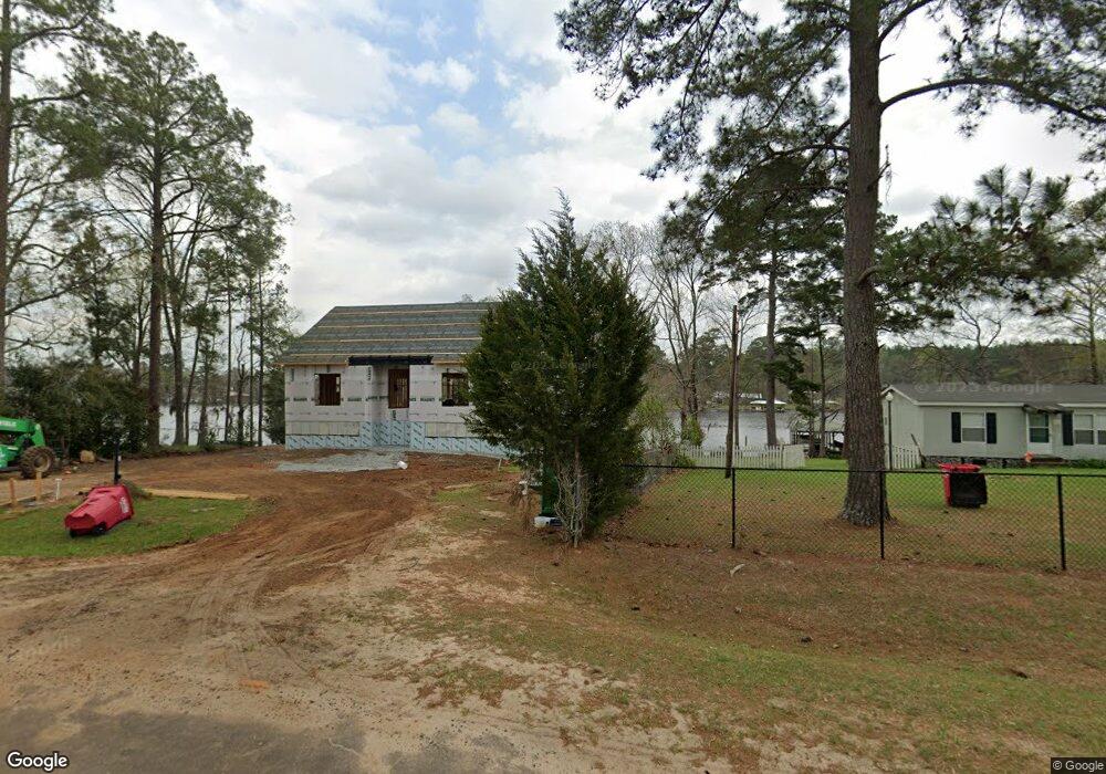
609 Smoak Bridge Cir Warwick, GA 31796
Estimated Value: $303,000 - $368,000
--
Bed
--
Bath
1,584
Sq Ft
$214/Sq Ft
Est. Value
About This Home
This home is located at 609 Smoak Bridge Cir, Warwick, GA 31796 and is currently estimated at $338,756, approximately $213 per square foot. 609 Smoak Bridge Cir is a home with nearby schools including Worth County Primary School, Worth County Elementary School, and Worth County Middle School.
Ownership History
Date
Name
Owned For
Owner Type
Purchase Details
Closed on
Mar 26, 2021
Sold by
Studstill John Allen
Bought by
Parker Jimmy and Parker Jennifer
Current Estimated Value
Purchase Details
Closed on
Oct 16, 2012
Sold by
Harrison Edward L
Bought by
Studstill John A
Home Financials for this Owner
Home Financials are based on the most recent Mortgage that was taken out on this home.
Original Mortgage
$176,678
Interest Rate
3.75%
Mortgage Type
FHA
Purchase Details
Closed on
Feb 15, 2006
Sold by
Chandler Robert B
Bought by
Hand Frances C
Create a Home Valuation Report for This Property
The Home Valuation Report is an in-depth analysis detailing your home's value as well as a comparison with similar homes in the area
Home Values in the Area
Average Home Value in this Area
Purchase History
| Date | Buyer | Sale Price | Title Company |
|---|---|---|---|
| Parker Jimmy | $240,000 | -- | |
| Studstill John A | $180,000 | -- | |
| Hand Frances C | -- | -- |
Source: Public Records
Mortgage History
| Date | Status | Borrower | Loan Amount |
|---|---|---|---|
| Previous Owner | Studstill John A | $176,678 |
Source: Public Records
Tax History Compared to Growth
Tax History
| Year | Tax Paid | Tax Assessment Tax Assessment Total Assessment is a certain percentage of the fair market value that is determined by local assessors to be the total taxable value of land and additions on the property. | Land | Improvement |
|---|---|---|---|---|
| 2024 | $1,459 | $51,067 | $48,667 | $2,400 |
| 2023 | $1,459 | $51,067 | $48,667 | $2,400 |
| 2022 | $1,460 | $51,067 | $48,667 | $2,400 |
| 2021 | $2,455 | $77,453 | $48,667 | $28,786 |
| 2020 | $2,459 | $77,453 | $48,667 | $28,786 |
| 2019 | $2,459 | $77,453 | $48,667 | $28,786 |
| 2018 | $2,116 | $73,869 | $48,667 | $25,202 |
| 2017 | $2,116 | $73,869 | $48,667 | $25,202 |
| 2016 | $2,116 | $73,869 | $48,667 | $25,202 |
| 2015 | -- | $73,869 | $48,667 | $25,202 |
| 2014 | -- | $77,649 | $48,667 | $28,982 |
Source: Public Records
Map
Nearby Homes
- 198 Swift Creek Rd
- 303 Mill Branch Rd
- 317 Mill Branch Rd
- 144 Bryant Rd
- 000 Bream Rd
- 102 Perch Dr
- 130 Swift Creek Rd
- 000 Swift Creek Rd
- 118 Swift Creek Rd
- 0 Arabi Warwick Rd
- 0 Swift Creek Rd Unit 138425
- 0 Washington St SE
- 129 Main St NW
- Lot 15 Georgia-Florida Pkwy
- 0 Power Dam Rd
- 484 Spring Creek Rd
- 636 Spring Creek Rd
- 480 Spring Creek Rd
- 620 Lakeshore Dr
- 199 Hurt Dr
- 615 Smoak Bridge Cir
- 605 Smoak Bridge Cir
- 601 Smoak Bridge Cir
- 597 Smoak Bridge Cir
- 625 Smoak Bridge Cir
- 587 Smoak Bridge Cir
- 629 Smoak Bridge Cir
- 579 Smoak Bridge Cir
- 643 Smoak Bridge Cir
- 567 Smoak Bridge Cir
- 557 Smoak Bridge Cir
- 223 Mill Branch Rd
- 665 Smoak Bridge Cir
- 227 Mill Branch Rd
- 551 Smoak Bridge Cir
- 229 Mill Branch Rd
- 221 Mill Branch Rd
- 219 Mill Branch Rd
- 231 Mill Branch Rd
- 543 Smoak Bridge Cir