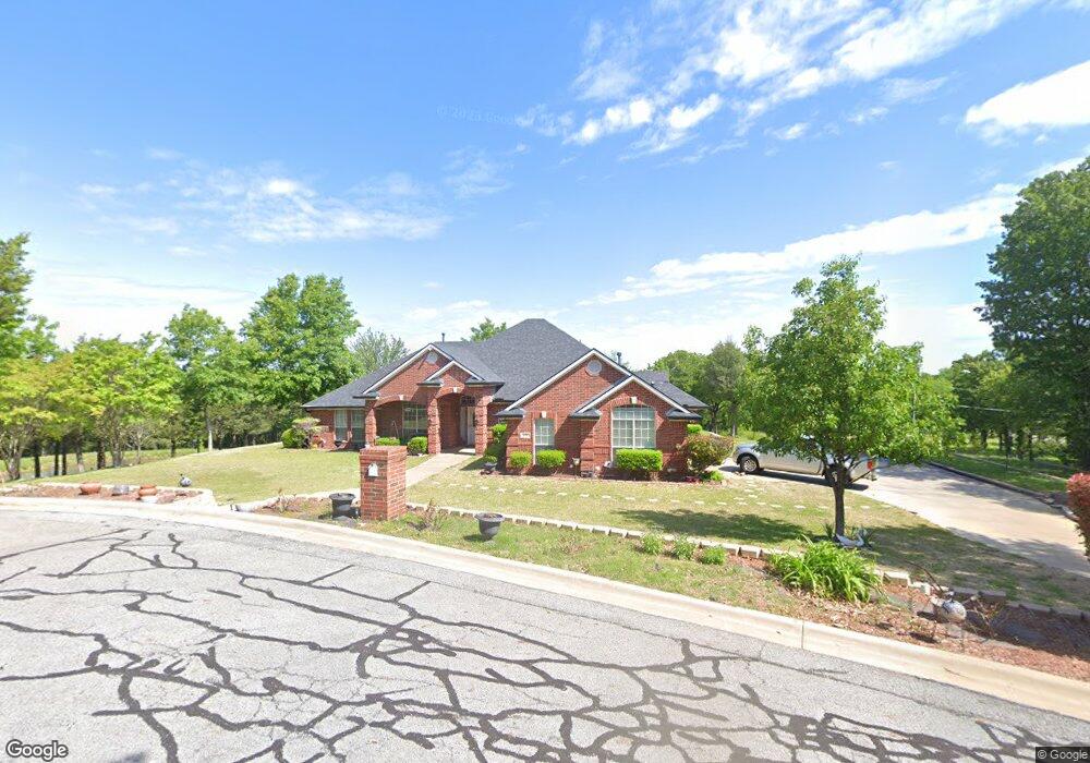
609 Thomas St Denison, TX 75020
Denison AreaEstimated Value: $257,000 - $304,246
About This Home
This home is located at 609 Thomas St, Denison, TX 75020 and is currently estimated at $280,623, approximately $105 per square foot. 609 Thomas St is a home located in Grayson County with nearby schools including Terrell Elementary School, Scott Middle School, and Denison High School.
Ownership History
We collect this data history from publicly available records. To have your information removed, we recommend requesting removal directly through your county’s website.
Purchase Details
Purchase Details
Home Values in the Area
Average Home Value in this Area
Purchase History
We collect this data history from publicly available records. To have your information removed, we recommend requesting removal directly through your county’s website.
| Date | Buyer | Sale Price | Title Company |
|---|---|---|---|
| -- | None Listed On Document | ||
| -- | None Available |
Tax History
We collect this data history from publicly available records. To have your information removed, we recommend requesting removal directly through your county’s website.
| Year | Tax Paid | Tax Assessment Tax Assessment Total Assessment is a certain percentage of the fair market value that is determined by local assessors to be the total taxable value of land and additions on the property. | Land | Improvement |
|---|---|---|---|---|
| 2025 | $1,736 | $295,156 | $8,775 | $286,381 |
| 2024 | $6,455 | $277,830 | $0 | $0 |
| 2023 | $1,740 | $252,573 | $0 | $0 |
| 2022 | $5,455 | $229,612 | $4,050 | $225,562 |
| 2021 | $5,287 | $209,635 | $3,825 | $205,810 |
| 2020 | $5,591 | $211,952 | $3,825 | $208,127 |
| 2019 | $5,728 | $208,178 | $3,825 | $204,353 |
| 2018 | $5,496 | $200,006 | $3,825 | $196,181 |
| 2017 | $5,038 | $190,056 | $3,000 | $187,056 |
| 2016 | $4,580 | $173,111 | $3,000 | $170,111 |
| 2015 | $0 | $148,843 | $3,000 | $145,843 |
| 2014 | -- | $148,843 | $3,000 | $145,843 |
Map
- 1230 Armstrong N
- 709 Martin Luther King St
- 503 Martin Luther King St
- 13 Geraldine Ln
- 80 Vaughn Dr
- 38 Vaughn Dr
- 14 Geraldine Ln
- TBD Loy Dr
- 610 W Elm St
- 728 W Elm St
- 30 W Parnell St
- 25 W Parnell St
- 818 W Elm St
- 1201 N Mirick Ave
- 1200 N Mirick Ave
- 629 W Walker St
- 631 W Walker St
- 310 Ball Park Loop
- 521 W Walker St
- 801 W Walker St
- 139674 Washington Heights Add St
- TBD Hathaway St
- 515 Hathaway St
- None Hathaway St
- 530 Thomas St
- 530 Thomas St
- 522 W Anne St
- 525 W Anne St
- 521 W Anne St
- 513 W Anne St
- 517 W Anne St
- 726 W Anne St
- 525 W W Anne St
- 517 W W Anne St
- none W Anne St
- 0 W Anne St
- 1 W Anne St
- TBD W Brewster St
- 531 W Brewster St
- 525 Anne
Ask me questions while you tour the home.