Estimated Value: $210,683 - $283,000
Studio
--
Bath
--
Sq Ft
0.51
Acres
About This Home
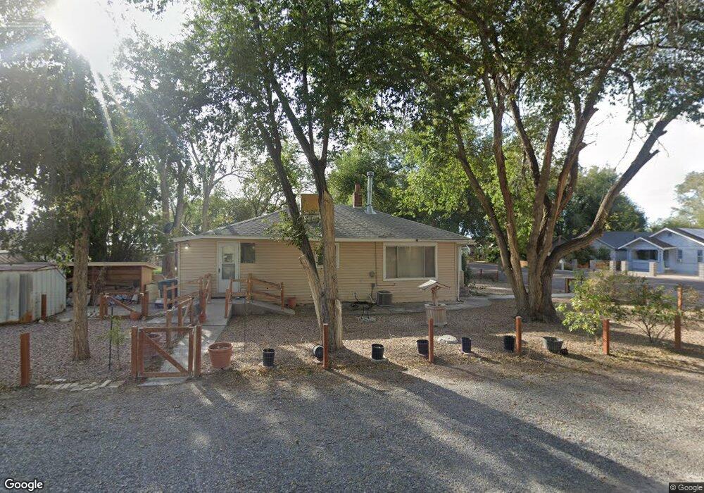
This home is located at 609 W 100 N, Delta, UT 84624 and is currently estimated at $255,921. 609 W 100 N is a home with nearby schools including Cba Center and White River Academy.
Ownership History
Date
Name
Owned For
Owner Type
Purchase Details
Closed on
Nov 8, 2022
Sold by
Broderick Carol P
Bought by
Anderson Russell M
Current Estimated Value
Purchase Details
Closed on
Sep 9, 2022
Sold by
Broderick Carol P
Bought by
Broderick Carol P
Purchase Details
Closed on
Jun 14, 2007
Sold by
Broderick Steven Alma
Bought by
Broderick Steven Alma and Broderick Carol P
Home Financials for this Owner
Home Financials are based on the most recent Mortgage that was taken out on this home.
Original Mortgage
$25,199
Interest Rate
6.21%
Create a Home Valuation Report for This Property
The Home Valuation Report is an in-depth analysis detailing your home's value as well as a comparison with similar homes in the area
Home Values in the Area
Average Home Value in this Area
Purchase History
| Date | Buyer | Sale Price | Title Company |
|---|---|---|---|
| Anderson Russell M | -- | -- | |
| Broderick Carol P | -- | -- | |
| Broderick Steven Alma | -- | -- |
Source: Public Records
Mortgage History
| Date | Status | Borrower | Loan Amount |
|---|---|---|---|
| Previous Owner | Broderick Steven Alma | $25,199 |
Source: Public Records
Tax History Compared to Growth
Tax History
| Year | Tax Paid | Tax Assessment Tax Assessment Total Assessment is a certain percentage of the fair market value that is determined by local assessors to be the total taxable value of land and additions on the property. | Land | Improvement |
|---|---|---|---|---|
| 2025 | $1,059 | $113,107 | $20,896 | $92,211 |
| 2024 | $1,059 | $83,580 | $6,749 | $76,831 |
| 2023 | $1,060 | $83,580 | $6,749 | $76,831 |
| 2022 | $820 | $61,600 | $6,135 | $55,465 |
| 2021 | $2 | $50,613 | $5,335 | $45,278 |
| 2020 | $2 | $46,827 | $4,850 | $41,977 |
| 2019 | $2 | $40,978 | $4,491 | $36,487 |
| 2018 | $528 | $37,965 | $4,491 | $33,474 |
| 2017 | $546 | $37,834 | $4,360 | $33,474 |
| 2016 | $529 | $37,834 | $4,360 | $33,474 |
| 2015 | $528 | $37,834 | $4,360 | $33,474 |
| 2014 | -- | $29,010 | $4,360 | $24,650 |
| 2013 | -- | $29,010 | $4,360 | $24,650 |
Source: Public Records
Map
Nearby Homes
- 451 W 300 N
- 242 S 400 W
- 294 S 300 W
- 163 W 100 S
- 325 N 100 W
- 32 E 300 S
- 38 E 300 S
- 0 E Highway 6 Unit LotWP001 16586023
- 98 W 1000 N
- 44 E 300 S
- 87 S 300 East Rd
- 321 E 200 S
- 445 Topaz Blvd Unit 10
- 7900 E 250 Rd N
- 9000 W 1500 Rd N
- 629 E Millard St
- 628 Sunset St
- 625 E Birch Dr
- 901 E 750 Rd N
- Locust Ave Unit LotWP001