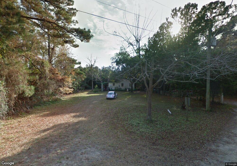
609 W 11th St Unit W Southport, NC 28461
Estimated Value: $194,000 - $292,650
2
Beds
1
Bath
941
Sq Ft
$235/Sq Ft
Est. Value
About This Home
This home is located at 609 W 11th St Unit W, Southport, NC 28461 and is currently estimated at $220,913, approximately $234 per square foot. 609 W 11th St Unit W is a home located in Brunswick County with nearby schools including Southport Elementary School, South Brunswick Middle School, and South Brunswick High School.
Ownership History
Date
Name
Owned For
Owner Type
Purchase Details
Closed on
Jan 14, 2025
Sold by
Amended and Restated Langhorne
Bought by
Ross Lorna
Current Estimated Value
Purchase Details
Closed on
Jan 24, 2023
Sold by
Stephens J Lynnwood
Bought by
Langhorne W Canning Revocable Living Trust
Purchase Details
Closed on
Apr 1, 2003
Bought by
Stephens J Lynwood
Create a Home Valuation Report for This Property
The Home Valuation Report is an in-depth analysis detailing your home's value as well as a comparison with similar homes in the area
Home Values in the Area
Average Home Value in this Area
Purchase History
| Date | Buyer | Sale Price | Title Company |
|---|---|---|---|
| Ross Lorna | $195,000 | None Listed On Document | |
| Langhorne W Canning Revocable Living Trust | $200,000 | -- | |
| Langhorne W Canning Revocable Living Trust | $200,000 | None Listed On Document | |
| Stephens J Lynwood | -- | -- |
Source: Public Records
Tax History Compared to Growth
Tax History
| Year | Tax Paid | Tax Assessment Tax Assessment Total Assessment is a certain percentage of the fair market value that is determined by local assessors to be the total taxable value of land and additions on the property. | Land | Improvement |
|---|---|---|---|---|
| 2025 | $1,424 | $229,290 | $142,000 | $87,290 |
| 2024 | $1,424 | $229,290 | $142,000 | $87,290 |
| 2023 | $1,081 | $229,290 | $142,000 | $87,290 |
| 2022 | $1,081 | $126,680 | $72,000 | $54,680 |
| 2021 | $970 | $126,680 | $72,000 | $54,680 |
| 2020 | $1,015 | $126,680 | $72,000 | $54,680 |
| 2019 | $1,015 | $72,200 | $72,000 | $200 |
| 2018 | $809 | $54,020 | $53,820 | $200 |
| 2017 | $803 | $54,020 | $53,820 | $200 |
| 2016 | $753 | $54,020 | $53,820 | $200 |
| 2015 | $753 | $99,110 | $53,820 | $45,290 |
| 2014 | $729 | $101,770 | $53,820 | $47,950 |
Source: Public Records
Map
Nearby Homes
- 1100 Spincast Rd
- 1028 Downrigger Trail
- Tr-2 W 9th St
- Tr-1 W 9th St
- Lot 5b Hankinsville Rd
- 813 Cades Trail
- 304 W 11th St
- 818 Cades Trail
- 742 Skipjack Cir
- 27 Lots N Caswell Ave
- Lot 1 Maple Ave
- 826 N Caswell Ave
- 1200 N Caswell Ave
- 420 Cades Trail
- Lot 5a N Caswell Ave
- 29 N Caswell Ave
- 1214 N Caswell Ave
- 1218 N Caswell Ave
- 1676 N Howe St
- 822 N Lord St
- 1057 Downrigger Trail
- 1053 Downrigger Trail Unit 11
- 1049 Downrigger Trail
- 608 W 11th St
- 511 W 11th St
- 1045 Downrigger Trail Unit Lot 9
- 1045 Downrigger Trail
- 713 W 11th St Unit W
- 612 W 11th St
- 612 W 11th St
- 1041 Downrigger Trail
- 1037 Downrigger Trail Unit Lot 7
- 1037 Downrigger Trail
- 1105 Spincast Rd
- 1109 Spincast Rd
- 1033 Downrigger Trail
- 1040 Downrigger Trail
- 507 W 11th St
- 1021 Downrigger Trail Unit Lot 5
- 1021 Downrigger Trail