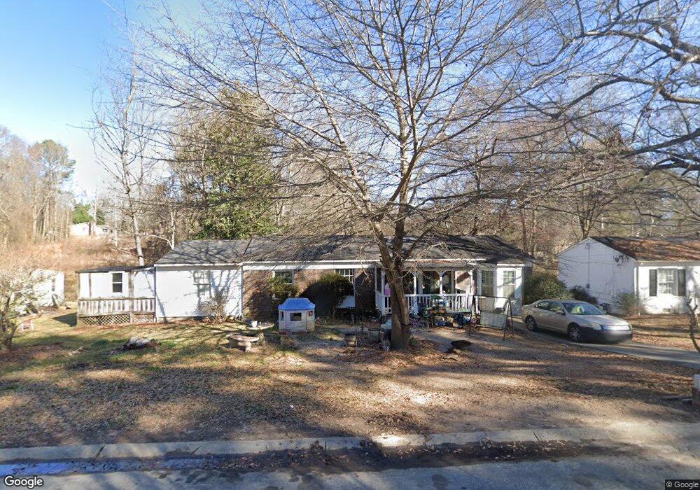
609 W Creek Cir Monroe, GA 30655
Estimated Value: $188,813 - $270,000
--
Bed
--
Bath
1,666
Sq Ft
$139/Sq Ft
Est. Value
About This Home
This home is located at 609 W Creek Cir, Monroe, GA 30655 and is currently estimated at $231,703, approximately $139 per square foot. 609 W Creek Cir is a home located in Walton County with nearby schools including Harmony Elementary School, Carver Middle School, and Monroe Area High School.
Ownership History
Date
Name
Owned For
Owner Type
Purchase Details
Closed on
Jun 2, 2000
Sold by
Gordon Kathleen
Bought by
Gordon Robin
Current Estimated Value
Purchase Details
Closed on
Dec 22, 1997
Sold by
Young Pines Inc
Bought by
Hillman Walter
Create a Home Valuation Report for This Property
The Home Valuation Report is an in-depth analysis detailing your home's value as well as a comparison with similar homes in the area
Home Values in the Area
Average Home Value in this Area
Purchase History
| Date | Buyer | Sale Price | Title Company |
|---|---|---|---|
| Gordon Robin | -- | -- | |
| Hillman Walter | $17,000 | -- |
Source: Public Records
Tax History Compared to Growth
Tax History
| Year | Tax Paid | Tax Assessment Tax Assessment Total Assessment is a certain percentage of the fair market value that is determined by local assessors to be the total taxable value of land and additions on the property. | Land | Improvement |
|---|---|---|---|---|
| 2024 | $571 | $54,920 | $13,200 | $41,720 |
| 2023 | $550 | $53,360 | $13,200 | $40,160 |
| 2022 | $509 | $43,000 | $13,200 | $29,800 |
| 2021 | $431 | $30,480 | $7,040 | $23,440 |
| 2020 | $400 | $24,960 | $5,280 | $19,680 |
| 2019 | $405 | $22,200 | $4,400 | $17,800 |
| 2018 | $360 | $22,200 | $4,400 | $17,800 |
| 2017 | $778 | $18,560 | $3,720 | $14,840 |
| 2016 | $629 | $17,280 | $3,720 | $13,560 |
| 2015 | $561 | $15,360 | $3,720 | $11,640 |
| 2014 | $552 | $14,760 | $3,720 | $11,040 |
Source: Public Records
Map
Nearby Homes
- 701 W Creek Cir
- 603 Ash Ln
- 516 Harris St
- 808 Davis St
- 750 Wheel House Ln Unit B
- 845 Store House Ct Unit B
- 842 Store House Ct Unit A
- 842 Store House Ct Unit B
- 833 Store House Ct Unit B
- 736 Wheel House Ln Unit A
- 829 Store House Ct Unit B
- 829 Store House Ct Unit C
- 838 Store House Ct Unit C
- 838 Store House Ct Unit A
- 320 Harris St
- 404 Mill St
- 918 Stow Ln
- 611 W Creek Cir
- 610 W Creek Cir
- 612 W Creek Cir
- 506 Ash Ln
- 0 Ash Ln Unit 3179628
- 0 Ash Ln Unit 7318342
- 0 Ash Ln Unit 7210438
- 0 Ash Ln
- 504 Ash Ln
- 704 Kendall Ct Unit 9
- 704 Kendall Ct
- 608 Harris St
- 602 Ash Ln
- 610 Harris St
- 700 Kendall Ct
- 601 Ash Ln
- 612 Harris St
- 701 Kendall Ct
- 604 Ash Ln Unit 3
- 703 W Creek Cir