6090 Chestnut Hill Rd Cambridge, OH 43725
Estimated Value: $148,000 - $386,000
--
Bed
--
Bath
--
Sq Ft
37.71
Acres
About This Home
This home is located at 6090 Chestnut Hill Rd, Cambridge, OH 43725 and is currently estimated at $279,705. 6090 Chestnut Hill Rd is a home located in Guernsey County with nearby schools including Cambridge High School.
Ownership History
Date
Name
Owned For
Owner Type
Purchase Details
Closed on
May 24, 2019
Sold by
Johnson Andrew Stephen and Johnson Andrew Steven
Bought by
Johnson Andrew Stephen and Johnson Mellynie R
Current Estimated Value
Home Financials for this Owner
Home Financials are based on the most recent Mortgage that was taken out on this home.
Original Mortgage
$188,800
Outstanding Balance
$166,314
Interest Rate
4.1%
Mortgage Type
Construction
Estimated Equity
$113,391
Purchase Details
Closed on
Apr 24, 2017
Sold by
Johnson Andrew Steven
Bought by
Graber Land Llc and Shanesville Investments Llc
Purchase Details
Closed on
Feb 26, 2016
Sold by
Kennedy Robert A
Bought by
Johnson Andrew Steven
Create a Home Valuation Report for This Property
The Home Valuation Report is an in-depth analysis detailing your home's value as well as a comparison with similar homes in the area
Home Values in the Area
Average Home Value in this Area
Purchase History
| Date | Buyer | Sale Price | Title Company |
|---|---|---|---|
| Johnson Andrew Stephen | -- | Northwest Ttl Fam Of Compani | |
| Johnson Andrew Stephen | -- | Northwest Title | |
| Graber Land Llc | $140,000 | Bennett Title Agency | |
| Johnson Andrew Steven | -- | None Available |
Source: Public Records
Mortgage History
| Date | Status | Borrower | Loan Amount |
|---|---|---|---|
| Open | Johnson Andrew Stephen | $188,800 |
Source: Public Records
Tax History Compared to Growth
Tax History
| Year | Tax Paid | Tax Assessment Tax Assessment Total Assessment is a certain percentage of the fair market value that is determined by local assessors to be the total taxable value of land and additions on the property. | Land | Improvement |
|---|---|---|---|---|
| 2024 | $1,811 | $42,788 | $36,992 | $5,796 |
| 2023 | $1,811 | $34,786 | $30,075 | $4,711 |
| 2022 | $1,575 | $34,790 | $30,080 | $4,710 |
| 2021 | $1,558 | $34,790 | $30,080 | $4,710 |
| 2020 | $1,356 | $30,130 | $25,420 | $4,710 |
| 2019 | $1,340 | $30,130 | $25,420 | $4,710 |
| 2018 | $1,696 | $32,320 | $27,610 | $4,710 |
| 2017 | $1,350 | $36,490 | $32,390 | $4,100 |
| 2016 | $2,054 | $36,490 | $32,390 | $4,100 |
| 2015 | $2,061 | $52,820 | $48,720 | $4,100 |
| 2014 | $155 | $7,950 | $3,680 | $4,270 |
| 2013 | $79 | $7,950 | $3,680 | $4,270 |
Source: Public Records
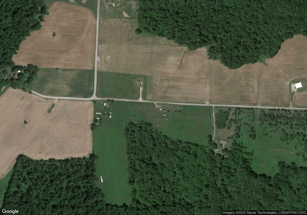
Map
Nearby Homes
- 70810 Angus Rd
- 0 Angus Rd
- 70750 Angus Rd
- 0 Bell Rd
- 3688 Indian Camp Run Rd
- 311 Holbrook St
- 67655 Geese Rd
- 0 Geese Rd
- 313 Holbrook St
- 68477 Geese Rd
- 67706 Oldham Rd
- 67295 Old Twenty One Rd
- 67660 E Lofland Rd
- 71330 Old Twenty One Rd
- 71330 Old Twenty- One Rd
- 2250 Indian Camp Run Rd
- 8900 Plum Rd
- 5628 Bloomfield Rd
- 10909 Barrett Hill Rd
- 6051 Chestnut Hill Rd
- 6025 Chestnut Hill Rd
- 6000 Chestnut Hill Rd
- 70300 Norwalk Rd
- 70380 Norwalk Rd
- 70554 Norwalk Rd
- 70415 Norwalk Rd
- 70159 Mount Hermon Rd
- 70466 Norwalk Rd
- 70421 Norwalk Rd
- 70492 Norwalk Rd
- 6500 Chestnut Hill Rd
- 70485 Norwalk Rd
- 70497 Norwalk Rd
- 70563 Norwalk Rd
- 70289 Red Brush Rd
- 70610 Berwinkle Hill Rd
- 69902 Mount Hermon Rd
- 5520 Sleepy Hollow Ln
- 70754 Norwalk Rd