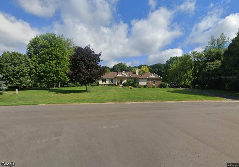
6090 Raphael Ct Unit Bldg-Unit White Lake, MI 48383
Estimated Value: $396,000 - $454,394
3
Beds
3
Baths
1,665
Sq Ft
$259/Sq Ft
Est. Value
About This Home
This home is located at 6090 Raphael Ct Unit Bldg-Unit, White Lake, MI 48383 and is currently estimated at $431,849, approximately $259 per square foot. 6090 Raphael Ct Unit Bldg-Unit is a home located in Oakland County with nearby schools including Holly High School.
Ownership History
Date
Name
Owned For
Owner Type
Purchase Details
Closed on
Aug 21, 2023
Sold by
Keller Patrick
Bought by
Keller Patrick and Keller Jessica A
Current Estimated Value
Purchase Details
Closed on
Jul 5, 2018
Sold by
Laurin Patrick I
Bought by
Keller Patrkk
Purchase Details
Closed on
Nov 25, 2008
Sold by
Rouse Nora and Rouse Edwin
Bought by
Laurin Patrick I
Home Financials for this Owner
Home Financials are based on the most recent Mortgage that was taken out on this home.
Original Mortgage
$175,484
Interest Rate
6.49%
Mortgage Type
FHA
Create a Home Valuation Report for This Property
The Home Valuation Report is an in-depth analysis detailing your home's value as well as a comparison with similar homes in the area
Home Values in the Area
Average Home Value in this Area
Purchase History
| Date | Buyer | Sale Price | Title Company |
|---|---|---|---|
| Keller Patrick | -- | None Listed On Document | |
| Keller Patrick | -- | None Listed On Document | |
| Keller Patrkk | $280,000 | Title Express Llc | |
| Laurin Patrick I | $177,800 | Multiple |
Source: Public Records
Mortgage History
| Date | Status | Borrower | Loan Amount |
|---|---|---|---|
| Previous Owner | Laurin Patrick I | $175,484 |
Source: Public Records
Tax History Compared to Growth
Tax History
| Year | Tax Paid | Tax Assessment Tax Assessment Total Assessment is a certain percentage of the fair market value that is determined by local assessors to be the total taxable value of land and additions on the property. | Land | Improvement |
|---|---|---|---|---|
| 2024 | $3,466 | $174,890 | $0 | $0 |
| 2023 | $3,306 | $160,260 | $0 | $0 |
| 2022 | $4,990 | $153,260 | $0 | $0 |
| 2021 | $4,666 | $139,760 | $0 | $0 |
| 2020 | $3,025 | $135,420 | $0 | $0 |
| 2019 | $4,540 | $127,580 | $0 | $0 |
| 2018 | $3,073 | $115,960 | $0 | $0 |
| 2017 | $2,964 | $115,960 | $0 | $0 |
| 2016 | $2,955 | $112,730 | $0 | $0 |
| 2015 | -- | $97,610 | $0 | $0 |
| 2014 | -- | $90,890 | $0 | $0 |
| 2011 | -- | $82,070 | $0 | $0 |
Source: Public Records
Map
Nearby Homes
- 5744 Hidden Lane Ct
- 4710 Ormond Rd
- 12100 Woodland Trail
- 13180 Woodland Trail
- 5550 McKeachie Rd
- 12445 Shaffer Rd
- 13875 Neal Rd
- 5115 Allingham Dr
- 3660 Bentwood Cir W Unit 149
- 5355 Lake Grove Dr
- 12109 Shaffer Rd
- 12859 Shaffer Rd
- 7391 Denali Dr Unit 7
- 4640 Melanie Ln
- 5247 Birch Ln
- 12700 Shaffer Rd
- 12150 Shaffer Rd
- 4694 Lakeborn Dr
- 4200 Stockemer
- 5567 Birch Ln
- 6090 Raphael Ct Unit 47
- 6110 N Bryan
- 6080 Raphael Ct
- 5482 E Alyssa Ct
- 5472 E Alyssa Ct
- 5492 E Alyssa Ct
- 6050 N Bryan
- 5462 E Alyssa Ct
- 6070 Raphael Ct
- 6109 N Bryan
- 6049 N Bryan
- 5512 E Alyssa Ct
- 6040 N Bryan
- 5432 W Alyssa Ct
- 5432 W Alyssa Ct
- 5461 E Alyssa Ct
- 6029 N Bryan Unit 71
- 5522 E Alyssa Ct
- 6073 Lia Ct Unit 30
- 5441 W Alyssa Ct
