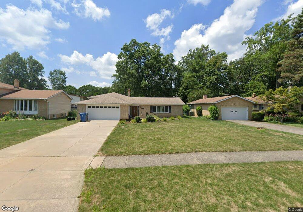
6090 Somerset Dr North Olmsted, OH 44070
Estimated Value: $294,000 - $327,000
3
Beds
2
Baths
1,960
Sq Ft
$157/Sq Ft
Est. Value
About This Home
This home is located at 6090 Somerset Dr, North Olmsted, OH 44070 and is currently estimated at $308,570, approximately $157 per square foot. 6090 Somerset Dr is a home located in Cuyahoga County with nearby schools including Chestnut Intermediate Elementary School, Pine Intermediate School, and North Olmsted Middle School.
Ownership History
Date
Name
Owned For
Owner Type
Purchase Details
Closed on
May 26, 2016
Sold by
Sliman Khaled A and Sliman Shuruk
Bought by
Sliman Adel A
Current Estimated Value
Home Financials for this Owner
Home Financials are based on the most recent Mortgage that was taken out on this home.
Original Mortgage
$104,000
Outstanding Balance
$82,799
Interest Rate
3.58%
Mortgage Type
New Conventional
Estimated Equity
$225,771
Purchase Details
Closed on
Aug 22, 2003
Sold by
Wollmann Matilda R
Bought by
Sliman Khaled A and Sliman Shuruk
Home Financials for this Owner
Home Financials are based on the most recent Mortgage that was taken out on this home.
Original Mortgage
$92,000
Interest Rate
5.62%
Mortgage Type
Purchase Money Mortgage
Purchase Details
Closed on
Mar 11, 1985
Sold by
Wollmann Albert and Wollmann Matilda
Bought by
Wollmann Albert
Purchase Details
Closed on
Jan 1, 1975
Bought by
Wollmann Albert and Wollmann Matilda
Create a Home Valuation Report for This Property
The Home Valuation Report is an in-depth analysis detailing your home's value as well as a comparison with similar homes in the area
Home Values in the Area
Average Home Value in this Area
Purchase History
| Date | Buyer | Sale Price | Title Company |
|---|---|---|---|
| Sliman Adel A | $130,000 | American Family Title Age | |
| Sliman Khaled A | $132,000 | American Title & Trust | |
| Wollmann Albert | -- | -- | |
| Wollmann Albert | -- | -- |
Source: Public Records
Mortgage History
| Date | Status | Borrower | Loan Amount |
|---|---|---|---|
| Open | Sliman Adel A | $104,000 | |
| Closed | Sliman Khaled A | $92,000 |
Source: Public Records
Tax History Compared to Growth
Tax History
| Year | Tax Paid | Tax Assessment Tax Assessment Total Assessment is a certain percentage of the fair market value that is determined by local assessors to be the total taxable value of land and additions on the property. | Land | Improvement |
|---|---|---|---|---|
| 2024 | $5,277 | $77,000 | $17,640 | $59,360 |
| 2023 | $5,209 | $63,780 | $13,900 | $49,880 |
| 2022 | $5,182 | $63,770 | $13,900 | $49,880 |
| 2021 | $4,689 | $63,770 | $13,900 | $49,880 |
| 2020 | $4,524 | $54,500 | $11,870 | $42,630 |
| 2019 | $4,402 | $155,700 | $33,900 | $121,800 |
| 2018 | $4,359 | $54,500 | $11,870 | $42,630 |
| 2017 | $4,324 | $48,590 | $10,330 | $38,260 |
| 2016 | $4,287 | $48,590 | $10,330 | $38,260 |
| 2015 | $4,252 | $48,590 | $10,330 | $38,260 |
| 2014 | $4,186 | $47,180 | $10,010 | $37,170 |
Source: Public Records
Map
Nearby Homes
- 29408 Stewart Dr
- 6281 Christman Dr
- 0 Stearns Rd
- 6305 Christman Dr
- 5833 Stearns Rd
- 6321 Brighton Dr
- 5920 Sherwood Dr
- 30247 Lorain Rd
- 5461 Wellesley Ave
- 28628 Aspen Dr
- 6723 Warrington Dr
- 29667 Bretton Ridge Dr
- 6127 Mackenzie Rd
- 28521 Aspen Dr
- 6617 Sutton Dr
- 30630 Lorain Rd
- 6427 Mackenzie Rd
- 5399 Berkshire Dr
- 6580 Barton Rd
- v/l Broxbourne Rd
- 6076 Somerset Dr
- 6104 Somerset Dr
- 6062 Somerset Dr
- 6118 Somerset Dr
- 6097 Stafford Dr
- 6077 Stafford Dr
- 6111 Stafford Dr
- 6063 Stafford Dr
- 6132 Somerset Dr
- 6048 Somerset Dr
- 6125 Stafford Dr
- 6117 Somerset Dr
- 6061 Somerset Dr
- 6049 Stafford Dr
- 6075 Somerset Dr
- 6089 Somerset Dr
- 6146 Somerset Dr
- 6103 Somerset Dr
- 6034 Somerset Dr
- 6139 Stafford Dr