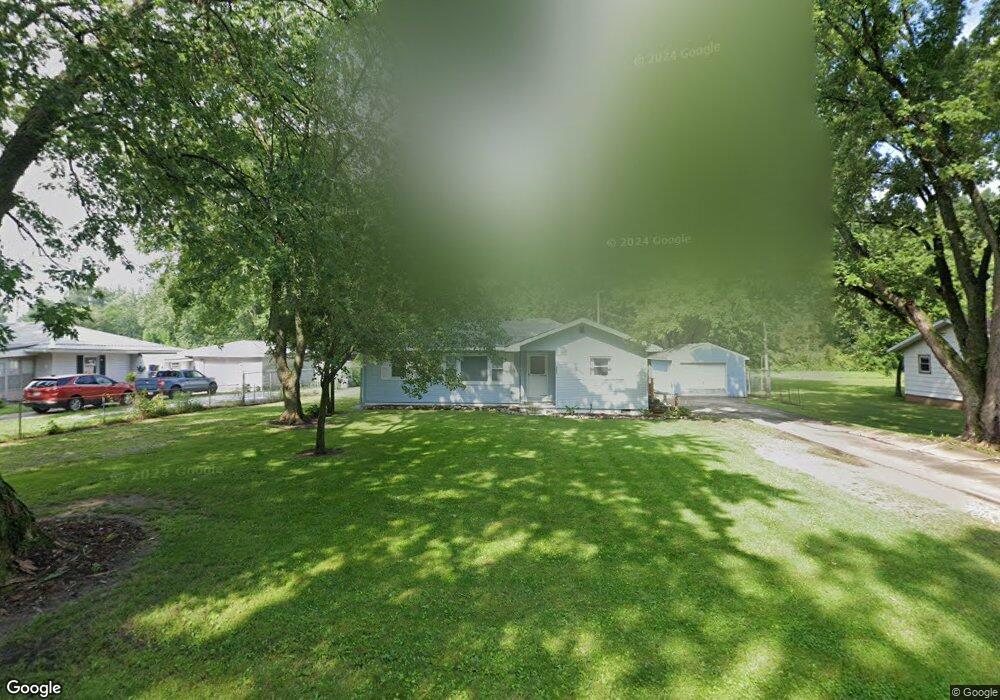
6091 S Range Rd North Judson, IN 46366
Estimated Value: $157,934 - $200,000
3
Beds
1
Bath
1,292
Sq Ft
$138/Sq Ft
Est. Value
About This Home
This home is located at 6091 S Range Rd, North Judson, IN 46366 and is currently estimated at $178,234, approximately $137 per square foot. 6091 S Range Rd is a home located in Starke County with nearby schools including North Judson-San Pierre Elementary School, N. Judson-San Pierre Junior/Senior High School, and St. Peter Lutheran School.
Ownership History
Date
Name
Owned For
Owner Type
Purchase Details
Closed on
Apr 30, 2010
Sold by
Housing And Urban Developement Of Washin
Bought by
Anderson Steven A
Current Estimated Value
Home Financials for this Owner
Home Financials are based on the most recent Mortgage that was taken out on this home.
Original Mortgage
$56,122
Outstanding Balance
$36,887
Interest Rate
5.05%
Mortgage Type
New Conventional
Estimated Equity
$141,347
Purchase Details
Closed on
Nov 16, 2009
Sold by
Wells Fargo Bank N A
Bought by
The Sec Of Housing & U
Purchase Details
Closed on
Aug 26, 2009
Sold by
Cowen Oscar Sheriff Of Starke Coun
Bought by
Wells Fargo Bank N A
Create a Home Valuation Report for This Property
The Home Valuation Report is an in-depth analysis detailing your home's value as well as a comparison with similar homes in the area
Purchase History
| Date | Buyer | Sale Price | Title Company |
|---|---|---|---|
| Anderson Steven A | -- | None Available | |
| The Sec Of Housing & U | $71,193 | Unterberg & Associates Pc | |
| Secretary Of Housing & Urban Development | -- | None Available | |
| Wells Fargo Bank N A | $71,193 | Unterberg & Associates Pc | |
| Wells Fargo Bank Na | $71,193 | None Available |
Source: Public Records
Mortgage History
| Date | Status | Borrower | Loan Amount |
|---|---|---|---|
| Open | Anderson Steven A | $56,122 |
Source: Public Records
Tax History
| Year | Tax Paid | Tax Assessment Tax Assessment Total Assessment is a certain percentage of the fair market value that is determined by local assessors to be the total taxable value of land and additions on the property. | Land | Improvement |
|---|---|---|---|---|
| 2025 | $584 | $124,900 | $13,500 | $111,400 |
| 2024 | $584 | $114,700 | $12,900 | $101,800 |
| 2023 | $551 | $105,900 | $11,700 | $94,200 |
| 2022 | $529 | $98,800 | $10,900 | $87,900 |
| 2021 | $424 | $83,200 | $10,600 | $72,600 |
| 2020 | $422 | $75,000 | $10,600 | $64,400 |
| 2019 | $397 | $71,800 | $10,600 | $61,200 |
| 2018 | $376 | $70,000 | $10,100 | $59,900 |
| 2017 | $355 | $69,700 | $10,100 | $59,600 |
| 2016 | $365 | $75,400 | $10,100 | $65,300 |
| 2014 | $316 | $75,700 | $10,600 | $65,100 |
| 2013 | $328 | $76,300 | $10,600 | $65,700 |
Source: Public Records
Map
Nearby Homes
- 6115 S Range Rd
- 6075 S Range Rd
- 6145 S Range Rd
- 6135 S Range Rd
- 6057 S Range Rd
- 6175 S Range Rd
- 0075 W State Road 10
- 6160 S Range Rd
- 0 000 Unit 21247555
- 6215 S Range Rd
- 80 W 625 S
- 100 W 625 S
- 0055 E State Road 10
- 6240 S Range Rd
- 0135 W State Road 10 Unit 10
- 2 Indiana 10
- 60 E 625 S
- 175 W State Road 10
- 175 W State Road 10
- 48 Indiana 10
Your Personal Tour Guide
Ask me questions while you tour the home.