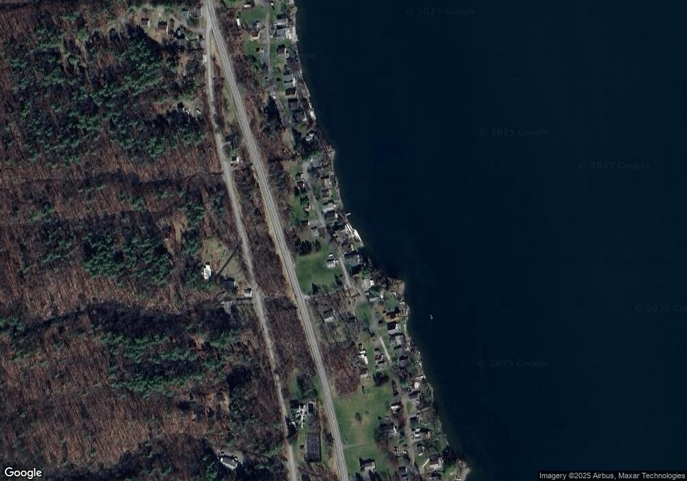
6091 Southwest Shores Honeoye, NY 14471
Estimated Value: $714,000 - $1,140,000
4
Beds
4
Baths
3,426
Sq Ft
$300/Sq Ft
Est. Value
About This Home
This home is located at 6091 Southwest Shores, Honeoye, NY 14471 and is currently estimated at $1,027,363, approximately $299 per square foot. 6091 Southwest Shores is a home located in Ontario County with nearby schools including Honeoye Elementary School and Honeoye Middle/High School.
Ownership History
Date
Name
Owned For
Owner Type
Purchase Details
Closed on
Apr 29, 2022
Sold by
Rainbow Enterprises Llc
Bought by
Potter Timothy and Potter Mari
Current Estimated Value
Purchase Details
Closed on
May 21, 2018
Sold by
Storey David J and Storey Rhonda B
Bought by
Rainbow Enterprises Llc
Purchase Details
Closed on
Dec 14, 2006
Sold by
Rourke John
Bought by
Storey David
Purchase Details
Closed on
Aug 16, 1994
Sold by
Debrucker Wilson J
Bought by
Rourke John L and Rourke Lorraine L
Create a Home Valuation Report for This Property
The Home Valuation Report is an in-depth analysis detailing your home's value as well as a comparison with similar homes in the area
Home Values in the Area
Average Home Value in this Area
Purchase History
| Date | Buyer | Sale Price | Title Company |
|---|---|---|---|
| Potter Timothy | $805,000 | None Available | |
| Rainbow Enterprises Llc | -- | -- | |
| Storey David | $570,000 | -- | |
| Rourke John L | $190,000 | -- |
Source: Public Records
Mortgage History
| Date | Status | Borrower | Loan Amount |
|---|---|---|---|
| Previous Owner | Rainbow Enterprises Llc | $405,000 |
Source: Public Records
Tax History Compared to Growth
Tax History
| Year | Tax Paid | Tax Assessment Tax Assessment Total Assessment is a certain percentage of the fair market value that is determined by local assessors to be the total taxable value of land and additions on the property. | Land | Improvement |
|---|---|---|---|---|
| 2024 | $17,505 | $821,100 | $181,600 | $639,500 |
| 2023 | $17,414 | $821,100 | $181,600 | $639,500 |
| 2022 | $15,102 | $579,800 | $147,800 | $432,000 |
| 2021 | $14,630 | $579,800 | $147,800 | $432,000 |
| 2020 | $14,607 | $579,800 | $147,800 | $432,000 |
| 2019 | $0 | $569,900 | $147,800 | $422,100 |
| 2018 | $14,881 | $569,900 | $147,800 | $422,100 |
| 2017 | $0 | $569,900 | $147,800 | $422,100 |
| 2016 | $14,575 | $569,900 | $147,800 | $422,100 |
| 2015 | -- | $569,900 | $147,800 | $422,100 |
| 2014 | -- | $569,900 | $147,800 | $422,100 |
Source: Public Records
Map
Nearby Homes
- 6024 W Willow Point
- 6102 Dana Shores Dr
- 8312 Wesley Rd
- 6037 County Road 37
- 10 Vicks Place
- 5541 Walt Dr
- 5875 Gulick Rd
- 5536 Gulick Rd
- 5308 Alpine Dr
- 5421 Gulick Rd
- 7820 Williams Rd
- 5663 Canadice Lake Rd
- 5145 E Lake Rd
- 8474 Amherst St
- 5138 Pinewood Hill Rd
- 0 Curtis Rd Unit R1642726
- 0 Deuel Rd
- 4967 County Road 37
- 5159 Deuel Rd
- 5881 State Route 15a
- 6091 Southwest Shore
- 6097 Southwest Shores
- 6090 Southwest Shores Unit 6091
- 6101 Southwest Shores
- 6087 Southwest Shores
- 6085 Southwest Shores
- 6105 Southwest Shores
- 6083 Southwest Shores
- 6109 Southwest Shores
- 6081 Southwest Shores
- 6113 Southwest Shores
- 6079 Southwest Shores
- 6077 Southwest Shores
- 6123 Southwest Shores
- 6075 Bemis Point
- 6125 Southwest Shore
- 6071 Bemis Point
- 6156 N Old West Lake Rd
- 6134 N Old West Lake Rd
- 6120 N Old West Lake Rd
