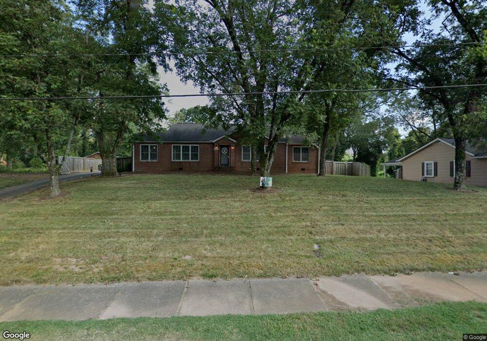
6091 West Ave Lavonia, GA 30553
Estimated Value: $297,580 - $414,000
3
Beds
2
Baths
2,468
Sq Ft
$141/Sq Ft
Est. Value
About This Home
This home is located at 6091 West Ave, Lavonia, GA 30553 and is currently estimated at $348,145, approximately $141 per square foot. 6091 West Ave is a home located in Franklin County with nearby schools including Franklin County High School.
Ownership History
Date
Name
Owned For
Owner Type
Purchase Details
Closed on
Jun 26, 2015
Sold by
Ellison Pat
Bought by
Malcom Donald and Malcom Carol
Current Estimated Value
Home Financials for this Owner
Home Financials are based on the most recent Mortgage that was taken out on this home.
Original Mortgage
$148,500
Outstanding Balance
$116,074
Interest Rate
3.93%
Mortgage Type
New Conventional
Estimated Equity
$232,071
Purchase Details
Closed on
Jan 12, 2009
Sold by
Whitlow Michael L
Bought by
Ellison Hubert
Purchase Details
Closed on
Jun 6, 1996
Bought by
Whitlow Ellen K
Create a Home Valuation Report for This Property
The Home Valuation Report is an in-depth analysis detailing your home's value as well as a comparison with similar homes in the area
Home Values in the Area
Average Home Value in this Area
Purchase History
| Date | Buyer | Sale Price | Title Company |
|---|---|---|---|
| Malcom Donald | $165,000 | -- | |
| Ellison Hubert | $135,000 | -- | |
| Whitlow Michael L | -- | -- | |
| Whitlow Ellen K | -- | -- |
Source: Public Records
Mortgage History
| Date | Status | Borrower | Loan Amount |
|---|---|---|---|
| Open | Malcom Donald | $148,500 |
Source: Public Records
Tax History Compared to Growth
Tax History
| Year | Tax Paid | Tax Assessment Tax Assessment Total Assessment is a certain percentage of the fair market value that is determined by local assessors to be the total taxable value of land and additions on the property. | Land | Improvement |
|---|---|---|---|---|
| 2024 | $3,313 | $100,001 | $8,000 | $92,001 |
| 2023 | $3,301 | $91,955 | $8,000 | $83,955 |
| 2022 | $3,040 | $84,696 | $8,000 | $76,696 |
| 2021 | $2,747 | $73,375 | $6,000 | $67,375 |
| 2020 | $2,354 | $61,956 | $6,000 | $55,956 |
| 2019 | $2,296 | $61,956 | $6,000 | $55,956 |
| 2018 | $1,989 | $53,453 | $6,000 | $47,453 |
| 2017 | $2,049 | $53,453 | $6,000 | $47,453 |
| 2016 | $1,899 | $47,079 | $6,000 | $41,079 |
| 2015 | -- | $35,876 | $6,000 | $29,876 |
| 2014 | -- | $35,876 | $6,000 | $29,876 |
| 2013 | -- | $33,786 | $6,000 | $27,786 |
Source: Public Records
Map
Nearby Homes
- 159 Old Park Rd
- 0 Highway 59 Unit 10615036
- 0 Highway 59 Unit 10632364
- 396 Brookwood Dr
- 5710 Vickery St
- 5494 Vickery St
- 5474 Vickery St
- 103 Ross Place
- 86 Luckie St
- 266 Randall St
- 89 Huntington Dr
- 49 Wright St Unit 65
- 55 Wright St Unit 67
- 57 Wright St Unit 68
- 51 Wright St Unit 66
- 45 Wright St Unit 64
- 59 Wright St Unit 69
- 138 Victoria Ln
- 0 Hwy 59 and Ross Place Unit 10499138
- 148 Allen Dr
- 6111 West Ave
- 71 Mason St
- 6141 West Ave
- 41 Mason St
- 6110 West Ave
- 0 Mason St Unit 7459200
- 0 Mason St Unit 7390367
- 6150 West Ave
- 6011 West Ave
- 34 Mason St
- 9 Mason St
- 6170 West Ave
- 56 Park Rd
- 245 Burgess St
- 255 Roberts St
- 56 Old City Park Rd
- 56 Old Park Rd
- 6010 West Ave
- 180 Roberts St
- 0 Old City Park Rd Unit 7160211