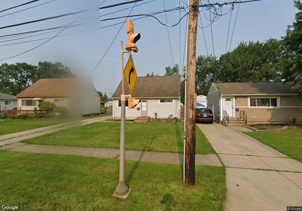
6094 Michael Dr Brookpark, OH 44142
Estimated Value: $218,000 - $225,000
About This Home
This home is located at 6094 Michael Dr, Brookpark, OH 44142 and is currently estimated at $221,168, approximately $195 per square foot. 6094 Michael Dr is a home located in Cuyahoga County with nearby schools including Berea-Midpark Middle School, Berea-Midpark High School, and Huber Heights Preparatory Academy Parma Academy.
Ownership History
We collect this data history from publicly available records. To have your information removed, we recommend requesting removal directly through your county’s website.
Purchase Details
Purchase Details
Home Financials for this Owner
Home Financials are based on the most recent Mortgage that was taken out on this home.Purchase Details
Home Financials for this Owner
Home Financials are based on the most recent Mortgage that was taken out on this home.Purchase Details
Purchase Details
Purchase Details
Purchase Details
Purchase Details
Home Values in the Area
Average Home Value in this Area
Purchase History
We collect this data history from publicly available records. To have your information removed, we recommend requesting removal directly through your county’s website.
| Date | Buyer | Sale Price | Title Company |
|---|---|---|---|
| -- | Attorney | ||
| $144,500 | American Title & Trust | ||
| $105,000 | Midland Title Security Inc | ||
| $83,000 | -- | ||
| $61,000 | -- | ||
| $55,000 | -- | ||
| -- | -- | ||
| -- | -- |
Mortgage History
We collect this data history from publicly available records. To have your information removed, we recommend requesting removal directly through your county’s website.
| Date | Status | Borrower | Loan Amount |
|---|---|---|---|
| Previous Owner | $28,900 | ||
| Previous Owner | $115,600 | ||
| Previous Owner | $104,550 |
Tax History
We collect this data history from publicly available records. To have your information removed, we recommend requesting removal directly through your county’s website.
| Year | Tax Paid | Tax Assessment Tax Assessment Total Assessment is a certain percentage of the fair market value that is determined by local assessors to be the total taxable value of land and additions on the property. | Land | Improvement |
|---|---|---|---|---|
| 2025 | $2,873 | $57,295 | $11,970 | $45,325 |
| 2024 | $2,890 | $57,295 | $11,970 | $45,325 |
| 2023 | $2,975 | $47,780 | $9,170 | $38,610 |
| 2022 | $2,831 | $46,800 | $9,170 | $37,630 |
| 2021 | $2,814 | $46,800 | $9,170 | $37,630 |
| 2020 | $2,537 | $37,140 | $7,280 | $29,860 |
| 2019 | $2,461 | $106,100 | $20,800 | $85,300 |
| 2018 | $2,321 | $37,140 | $7,280 | $29,860 |
| 2017 | $2,374 | $33,220 | $6,830 | $26,390 |
| 2016 | $2,354 | $33,220 | $6,830 | $26,390 |
| 2015 | $2,209 | $33,220 | $6,830 | $26,390 |
| 2014 | $2,209 | $33,220 | $6,830 | $26,390 |
Map
- 14291 Gallatin Blvd
- 5882 Middlebrook Blvd
- 6130 Smith Rd
- 15540 Paulding Blvd
- 15424 Holland Rd
- 15460 Rademaker Dr
- 15624 Hocking Blvd
- 5818 Smith Rd
- 15500 Richard Dr
- 13495 Donald Dr
- 13548 Holland Rd
- 6379 Edgehurst Dr
- 6127 W 130th St
- 15473 Hummel Rd
- 15497 Hummel Rd
- 6444 Schaaf Dr
- 16124 Holland Rd
- 6377 Ledgebrook Dr
- 6447 Sandfield Dr
- 6115 Fry Rd
- 6071 Morrow Dr
- 6077 Morrow Dr
- 6065 Morrow Dr
- 6083 Morrow Dr
- 6059 Morrow Dr
- 6089 Morrow Dr
- 6053 Morrow Dr
- 6070 Michael Dr
- 6076 Michael Dr
- 6064 Michael Dr
- 6082 Michael Dr
- 6058 Michael Dr
- 6070 Morrow Dr
- 6095 Morrow Dr
- 6047 Morrow Dr
- 6076 Morrow Dr
- 6064 Morrow Dr
- 6088 Michael Dr
- 6052 Michael Dr
- 6082 Morrow Dr
Ask me questions while you tour the home.