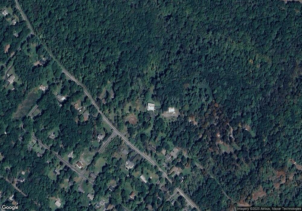
6094 Route 191 Cresco, PA 18326
Estimated Value: $222,000 - $278,000
3
Beds
1
Bath
1,344
Sq Ft
$182/Sq Ft
Est. Value
About This Home
This home is located at 6094 Route 191, Cresco, PA 18326 and is currently estimated at $244,359, approximately $181 per square foot. 6094 Route 191 is a home located in Monroe County with nearby schools including Swiftwater Interm School, Swiftwater Elementary Center, and Pocono Mountain East Junior High School.
Ownership History
Date
Name
Owned For
Owner Type
Purchase Details
Closed on
Jun 19, 2018
Sold by
Beharry Terrence and Beharry Jessica
Bought by
Siolkowski Albert and Siolkowski Elzbieta P
Current Estimated Value
Purchase Details
Closed on
Jul 9, 2013
Sold by
Textar Patricia R and Phillips Patricia R
Bought by
Beharry Terrence and Beharry Jessica
Purchase Details
Closed on
Mar 14, 2006
Sold by
Phillips Patricia R and Texter Patricia R
Bought by
Texter Patricia R
Create a Home Valuation Report for This Property
The Home Valuation Report is an in-depth analysis detailing your home's value as well as a comparison with similar homes in the area
Home Values in the Area
Average Home Value in this Area
Purchase History
| Date | Buyer | Sale Price | Title Company |
|---|---|---|---|
| Siolkowski Albert | $99,900 | None Available | |
| Beharry Terrence | $109,500 | None Available | |
| Texter Patricia R | -- | None Available |
Source: Public Records
Tax History Compared to Growth
Tax History
| Year | Tax Paid | Tax Assessment Tax Assessment Total Assessment is a certain percentage of the fair market value that is determined by local assessors to be the total taxable value of land and additions on the property. | Land | Improvement |
|---|---|---|---|---|
| 2025 | $1,400 | $104,820 | $30,520 | $74,300 |
| 2024 | $1,084 | $104,820 | $30,520 | $74,300 |
| 2023 | $4,126 | $104,820 | $30,520 | $74,300 |
| 2022 | $4,102 | $104,820 | $30,520 | $74,300 |
| 2021 | $3,973 | $104,820 | $30,520 | $74,300 |
| 2020 | $4,022 | $103,720 | $30,520 | $73,200 |
| 2019 | $3,688 | $16,340 | $5,050 | $11,290 |
| 2018 | $3,688 | $16,340 | $5,050 | $11,290 |
| 2017 | $3,664 | $16,340 | $5,050 | $11,290 |
| 2016 | $741 | $16,340 | $5,050 | $11,290 |
| 2015 | $2,545 | $16,340 | $5,050 | $11,290 |
| 2014 | $2,545 | $16,340 | $5,050 | $11,290 |
Source: Public Records
Map
Nearby Homes
- 210 Grouse Run
- 436 Cranberry Creek Rd
- 104 Sonnys Trail
- 201 Blackberry Dr
- 642 Tulip Tree Ln
- 6509 Route 191
- 0 Route 191 Unit PWBPW243056
- 349 Carlton Rd
- 1163 Bush Rd
- 6656 Route 191
- 6663 Pennsylvania 191
- 6683 Pennsylvania 191
- 4299 High Rd
- 188 Olde Schoolhouse Rd
- 6733 Route 191
- 135 Timber Hill Rd
- 113 Station Hill Rd
- 0 Grange Rd Unit PM-122336
- 4130 Mill Creek Dr
- 126 Station Hill Rd