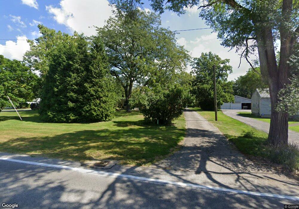
6095 Ford Rd Elyria, OH 44035
Estimated Value: $152,743 - $224,000
3
Beds
1
Bath
1,100
Sq Ft
$172/Sq Ft
Est. Value
About This Home
This home is located at 6095 Ford Rd, Elyria, OH 44035 and is currently estimated at $188,686, approximately $171 per square foot. 6095 Ford Rd is a home located in Lorain County with nearby schools including Crestwood Elementary School, Westwood Middle School, and Elyria High School.
Ownership History
Date
Name
Owned For
Owner Type
Purchase Details
Closed on
Oct 21, 2023
Sold by
Szabo Cynthia A
Bought by
Szabo Mark S
Current Estimated Value
Purchase Details
Closed on
Feb 13, 2012
Sold by
Szabo Mark S and Szabo Cynthia A
Bought by
Szabo Mark S and Szabo Cynthia A
Home Financials for this Owner
Home Financials are based on the most recent Mortgage that was taken out on this home.
Original Mortgage
$30,000
Interest Rate
3.91%
Mortgage Type
Credit Line Revolving
Create a Home Valuation Report for This Property
The Home Valuation Report is an in-depth analysis detailing your home's value as well as a comparison with similar homes in the area
Home Values in the Area
Average Home Value in this Area
Purchase History
| Date | Buyer | Sale Price | Title Company |
|---|---|---|---|
| Szabo Mark S | -- | None Listed On Document | |
| Szabo Mark S | -- | None Available |
Source: Public Records
Mortgage History
| Date | Status | Borrower | Loan Amount |
|---|---|---|---|
| Previous Owner | Szabo Mark S | $30,000 |
Source: Public Records
Tax History
| Year | Tax Paid | Tax Assessment Tax Assessment Total Assessment is a certain percentage of the fair market value that is determined by local assessors to be the total taxable value of land and additions on the property. | Land | Improvement |
|---|---|---|---|---|
| 2024 | $1,830 | $48,381 | $14,130 | $34,251 |
| 2023 | $2,530 | $46,319 | $16,048 | $30,272 |
| 2022 | $2,520 | $46,319 | $16,048 | $30,272 |
| 2021 | $2,527 | $46,319 | $16,048 | $30,272 |
| 2020 | $2,515 | $41,020 | $14,210 | $26,810 |
| 2019 | $2,500 | $41,020 | $14,210 | $26,810 |
| 2018 | $2,345 | $41,020 | $14,210 | $26,810 |
| 2017 | $2,185 | $34,290 | $11,690 | $22,600 |
| 2016 | $2,156 | $34,290 | $11,690 | $22,600 |
| 2015 | $2,020 | $34,290 | $11,690 | $22,600 |
| 2014 | $2,026 | $34,810 | $11,870 | $22,940 |
| 2013 | $2,007 | $34,810 | $11,870 | $22,940 |
Source: Public Records
Map
Nearby Homes
- 122 Haydens Arbor
- 114 Timberlane Dr
- 2430 W River Rd N
- 308 Loyola Dr
- 223 Naples Dr
- 5193 Liberty Ave
- 416 Deer Crossing
- 172 Loyola Dr
- 257 Windward Dr
- 145 Crestview Dr
- 4510 Riverside Dr
- V/L Rear Land Unit 1
- V/L Rear Land Unit 2
- 4617 Andover Ave
- 4429 Norfolk Ave
- VL Ridgewood St
- 117 Woodview Dr
- 372 Briar Lake Dr
- 4608 Gary Ave
- 236 Northfield Dr
Your Personal Tour Guide
Ask me questions while you tour the home.