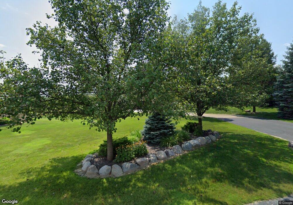
6096 Par 4 Ln Washington, MI 48095
Estimated Value: $738,000 - $912,000
4
Beds
4
Baths
3,700
Sq Ft
$222/Sq Ft
Est. Value
About This Home
This home is located at 6096 Par 4 Ln, Washington, MI 48095 and is currently estimated at $821,925, approximately $222 per square foot. 6096 Par 4 Ln is a home located in Macomb County with nearby schools including Hamilton Parsons Elementary School and Bible Truth Christian Academy.
Ownership History
Date
Name
Owned For
Owner Type
Purchase Details
Closed on
Mar 13, 2009
Sold by
Chirco Anthony A and Chirco Sara C
Bought by
Meier Michael J and Meier Karyn S
Current Estimated Value
Purchase Details
Closed on
Sep 4, 2002
Sold by
Westwind Group Llc
Bought by
Chirco Anthony A
Home Financials for this Owner
Home Financials are based on the most recent Mortgage that was taken out on this home.
Original Mortgage
$395,000
Interest Rate
6.34%
Mortgage Type
Purchase Money Mortgage
Purchase Details
Closed on
Feb 26, 2001
Sold by
Proper Washington Macomb
Bought by
Westwind Group Llc
Home Financials for this Owner
Home Financials are based on the most recent Mortgage that was taken out on this home.
Original Mortgage
$1,800,000
Interest Rate
7.05%
Mortgage Type
Purchase Money Mortgage
Create a Home Valuation Report for This Property
The Home Valuation Report is an in-depth analysis detailing your home's value as well as a comparison with similar homes in the area
Home Values in the Area
Average Home Value in this Area
Purchase History
| Date | Buyer | Sale Price | Title Company |
|---|---|---|---|
| Meier Michael J | $300,000 | None Available | |
| Chirco Anthony A | $150,000 | -- | |
| Westwind Group Llc | $111,415 | -- |
Source: Public Records
Mortgage History
| Date | Status | Borrower | Loan Amount |
|---|---|---|---|
| Previous Owner | Chirco Anthony A | $395,000 | |
| Previous Owner | Westwind Group Llc | $1,800,000 |
Source: Public Records
Tax History Compared to Growth
Tax History
| Year | Tax Paid | Tax Assessment Tax Assessment Total Assessment is a certain percentage of the fair market value that is determined by local assessors to be the total taxable value of land and additions on the property. | Land | Improvement |
|---|---|---|---|---|
| 2025 | $8,063 | $419,700 | $0 | $0 |
| 2024 | $5,447 | $382,400 | $0 | $0 |
| 2023 | $5,250 | $336,100 | $0 | $0 |
| 2022 | $7,295 | $303,600 | $0 | $0 |
| 2021 | $7,136 | $288,400 | $0 | $0 |
| 2020 | $4,861 | $303,000 | $0 | $0 |
| 2019 | $6,548 | $296,000 | $0 | $0 |
| 2018 | $6,224 | $293,400 | $0 | $0 |
| 2017 | $6,188 | $266,900 | $47,300 | $219,600 |
| 2016 | $6,199 | $266,900 | $0 | $0 |
| 2015 | -- | $256,600 | $0 | $0 |
| 2013 | $6,235 | $255,200 | $39,500 | $215,700 |
| 2012 | $6,235 | $193,200 | $0 | $0 |
Source: Public Records
Map
Nearby Homes
- 0 Mound Rd Unit 50190478
- 69225 Lake Point Ct
- 69416 Brookhill Dr
- 69166 Slating Ln
- 68208 Wingate Dr
- 67770 Overlook Trail
- 7773 Frampton Dr
- 67875 Campground Rd
- 8148 Orchardview Dr
- 67391 Mack Ct
- 8160 W Gates St
- 8109 Orchardview Dr
- 8401 Pine Knoll Dr
- 67773 Quail Ridge
- 6281 31 Mile Rd
- 68649 Cornerstone Dr Unit 15
- 69951 Wildflower Ln Unit 18
- 8167 Morningside Dr
- 8911 W Gates St
- 70501 Renata Ct
- 6170 Par 4 Ln
- 0 Mound Rd Unit 210070901
- 0 Mound Rd Unit 210075370
- 0 Mound Rd Unit 210117920
- 0 Mound Rd Unit 210117921
- 0 Mound Rd Unit 210137510
- 0 Mound Rd Unit 211008030
- 0 Mound Rd Unit 211008018
- 0 Mound Rd Unit 211068459
- 0 Mound Rd Unit 211068469
- 0 Mound Rd Unit 212085741
- 0 Mound Rd Unit 4297705
- 0 Mound Rd Unit 4296157
- 0 Mound Rd Unit 4297735
- 0 Mound Rd Unit 4971292
- 0 Mound Rd Unit 4968352
- 0 Mound Rd Unit 4218066
- 0 Mound Rd Unit 4968359
- 0 Mound Rd Unit 4967594
- 0 Mound Rd Unit 4372488
