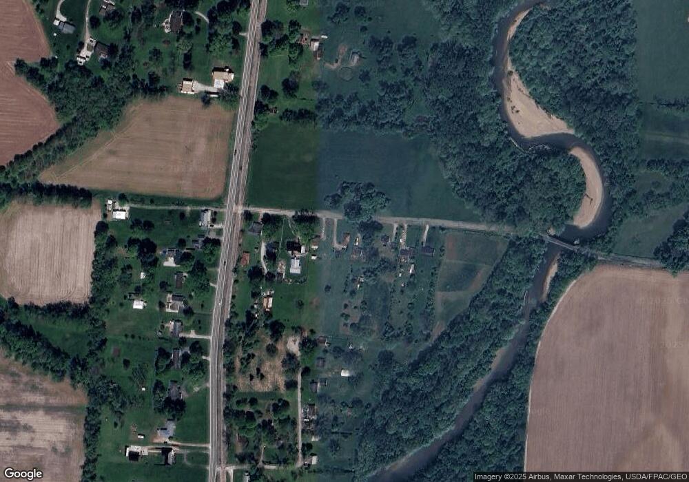
6096 Snyder Rd Newark, OH 43055
Estimated Value: $155,000 - $172,000
2
Beds
1
Bath
800
Sq Ft
$208/Sq Ft
Est. Value
About This Home
This home is located at 6096 Snyder Rd, Newark, OH 43055 and is currently estimated at $166,030, approximately $207 per square foot. 6096 Snyder Rd is a home located in Licking County with nearby schools including Utica High School.
Ownership History
Date
Name
Owned For
Owner Type
Purchase Details
Closed on
Feb 13, 2004
Sold by
Carr James E and Carr Darlene Y
Bought by
Ogle Larry W and Ogle Mary L
Current Estimated Value
Home Financials for this Owner
Home Financials are based on the most recent Mortgage that was taken out on this home.
Original Mortgage
$68,500
Interest Rate
5.96%
Mortgage Type
Unknown
Purchase Details
Closed on
Aug 18, 2003
Sold by
Sterling Bank & Trust Fsb
Bought by
Carr James E
Purchase Details
Closed on
Jan 24, 2003
Sold by
Shrf Kenneth Connolly Pr
Bought by
Sterling Bank & Trust
Create a Home Valuation Report for This Property
The Home Valuation Report is an in-depth analysis detailing your home's value as well as a comparison with similar homes in the area
Home Values in the Area
Average Home Value in this Area
Purchase History
| Date | Buyer | Sale Price | Title Company |
|---|---|---|---|
| Ogle Larry W | $68,500 | -- | |
| Carr James E | $45,000 | Midland Celtic Title | |
| Sterling Bank & Trust | $58,000 | -- |
Source: Public Records
Mortgage History
| Date | Status | Borrower | Loan Amount |
|---|---|---|---|
| Previous Owner | Ogle Larry W | $68,500 |
Source: Public Records
Tax History Compared to Growth
Tax History
| Year | Tax Paid | Tax Assessment Tax Assessment Total Assessment is a certain percentage of the fair market value that is determined by local assessors to be the total taxable value of land and additions on the property. | Land | Improvement |
|---|---|---|---|---|
| 2024 | $768 | $31,500 | $15,750 | $15,750 |
| 2023 | $790 | $31,500 | $15,750 | $15,750 |
| 2022 | $636 | $24,860 | $9,840 | $15,020 |
| 2021 | $649 | $24,860 | $9,840 | $15,020 |
| 2020 | $940 | $24,860 | $9,840 | $15,020 |
| 2019 | $786 | $19,430 | $7,880 | $11,550 |
| 2018 | $770 | $0 | $0 | $0 |
| 2017 | $875 | $0 | $0 | $0 |
| 2016 | $974 | $0 | $0 | $0 |
| 2015 | $965 | $0 | $0 | $0 |
| 2014 | $1,318 | $0 | $0 | $0 |
| 2013 | $955 | $0 | $0 | $0 |
Source: Public Records
Map
Nearby Homes
- 29 Parkway Dr
- Mt Vernon Rd Unit LotWP001
- 2034 Dumont St Unit 81
- 2026 Freehold St
- 2012 Edison St
- 65 Sunset Dr
- 1952 Jamesburg St
- 1968 High Bridge St
- 2133 Ava Ln
- 152 Lincoln Dr
- 1981 Iselin St
- 1989 Iselin St
- 1993 Iselin St
- 1977 Iselin St
- 1973 Iselin St
- 2128 Ava Ln
- 1948 Jamesburg St
- 1954 Iselin St
- 333 S Heather Dr
- 66 N Vernon Ave
- 6116 Snyder Rd
- 6086 Snyder Rd
- 6105 Snyder Rd
- 6148 Snyder Rd
- 6058 Snyder Rd
- 6158 Snyder Rd
- 6040 Snyder Rd
- 6176 Snyder Rd
- 6036 Snyder Rd
- 82 Hatfield Ln
- 2855 Mount Vernon Rd
- 2843 Mount Vernon Rd
- 2910 Mount Vernon Rd
- 72 Hatfield Ln
- 2837 Mount Vernon Rd
- 2827 Mount Vernon Rd
- 62 Hatfield Ln
- 2817 Mount Vernon Rd
- 2942 Mount Vernon Rd
- 2923 Mount Vernon Rd
