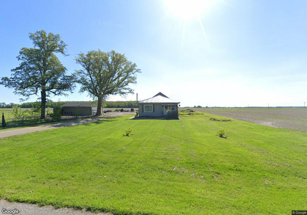
6098 Road 123 Paulding, OH 45879
Estimated Value: $148,241 - $194,000
3
Beds
1
Bath
1,248
Sq Ft
$141/Sq Ft
Est. Value
About This Home
This home is located at 6098 Road 123, Paulding, OH 45879 and is currently estimated at $176,060, approximately $141 per square foot. 6098 Road 123 is a home with nearby schools including Wayne Trace High School.
Ownership History
Date
Name
Owned For
Owner Type
Purchase Details
Closed on
Mar 21, 2017
Sold by
Warner Jamie M and Warner Kristina K
Bought by
Blankemeyer Caleb J
Current Estimated Value
Home Financials for this Owner
Home Financials are based on the most recent Mortgage that was taken out on this home.
Original Mortgage
$81,000
Outstanding Balance
$66,521
Interest Rate
4.17%
Mortgage Type
Adjustable Rate Mortgage/ARM
Estimated Equity
$109,539
Create a Home Valuation Report for This Property
The Home Valuation Report is an in-depth analysis detailing your home's value as well as a comparison with similar homes in the area
Purchase History
| Date | Buyer | Sale Price | Title Company |
|---|---|---|---|
| Blankemeyer Caleb J | $90,000 | None Available |
Source: Public Records
Mortgage History
| Date | Status | Borrower | Loan Amount |
|---|---|---|---|
| Open | Blankemeyer Caleb J | $81,000 |
Source: Public Records
Tax History
| Year | Tax Paid | Tax Assessment Tax Assessment Total Assessment is a certain percentage of the fair market value that is determined by local assessors to be the total taxable value of land and additions on the property. | Land | Improvement |
|---|---|---|---|---|
| 2025 | $1,309 | $43,230 | $10,220 | $33,010 |
| 2024 | $1,309 | $35,280 | $7,980 | $27,300 |
| 2023 | $1,148 | $35,280 | $7,980 | $27,300 |
| 2022 | $1,139 | $35,280 | $7,980 | $27,300 |
| 2021 | $663 | $18,240 | $7,740 | $10,500 |
| 2020 | $686 | $18,240 | $7,740 | $10,500 |
| 2019 | $689 | $16,880 | $7,740 | $9,140 |
| 2018 | $572 | $16,880 | $7,740 | $9,140 |
| 2017 | $587 | $16,880 | $7,740 | $9,140 |
| 2016 | $618 | $16,880 | $7,740 | $9,140 |
Source: Public Records
Map
Nearby Homes
- 0 Road 72
- 201 N Main St
- 308 S Jefferson St
- 742 E Perry St
- 701 E Wayne St
- 335 S Williams St
- 111 W Wayne St
- 200 German St
- 12744 Blaine St
- 520 W Wayne St
- 301 N Main St
- 714 W Wayne St
- 717 W Harrison St
- 1067 College Ave
- 215 N Dewitt St
- 516 N Williams St
- 780 W Jackson St
- 741 Tom Tim Dr
- 434 Haven St
- 713 N Walnut St
Your Personal Tour Guide
Ask me questions while you tour the home.