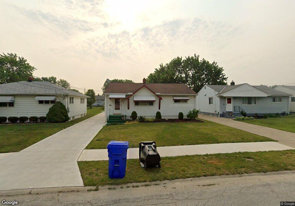
6099 Alvin Dr Brookpark, OH 44142
Estimated Value: $172,629 - $222,000
3
Beds
1
Bath
936
Sq Ft
$204/Sq Ft
Est. Value
About This Home
This home is located at 6099 Alvin Dr, Brookpark, OH 44142 and is currently estimated at $191,157, approximately $204 per square foot. 6099 Alvin Dr is a home located in Cuyahoga County with nearby schools including Berea-Midpark Middle School, Berea-Midpark High School, and Huber Heights Preparatory Academy Parma Academy.
Ownership History
Date
Name
Owned For
Owner Type
Purchase Details
Closed on
Oct 31, 2024
Sold by
Babura Dennis D and Babura Mary L
Bought by
Babura Family Trust and Babura
Current Estimated Value
Purchase Details
Closed on
May 6, 1994
Sold by
Wilhelm Danny L
Bought by
Babura Dennis D
Purchase Details
Closed on
Aug 19, 1987
Sold by
Urbas Albert J
Bought by
Wilhelm Danny L
Purchase Details
Closed on
Jun 20, 1984
Sold by
Urbas Albert J and Urbas Gail A
Bought by
Urbas Albert J
Purchase Details
Closed on
Jan 1, 1975
Bought by
Urbas Albert J and Urbas Gail A
Create a Home Valuation Report for This Property
The Home Valuation Report is an in-depth analysis detailing your home's value as well as a comparison with similar homes in the area
Home Values in the Area
Average Home Value in this Area
Purchase History
| Date | Buyer | Sale Price | Title Company |
|---|---|---|---|
| Babura Family Trust | -- | None Listed On Document | |
| Babura Dennis D | $95,000 | -- | |
| Wilhelm Danny L | $65,000 | -- | |
| Urbas Albert J | -- | -- | |
| Urbas Albert J | -- | -- |
Source: Public Records
Tax History
| Year | Tax Paid | Tax Assessment Tax Assessment Total Assessment is a certain percentage of the fair market value that is determined by local assessors to be the total taxable value of land and additions on the property. | Land | Improvement |
|---|---|---|---|---|
| 2024 | $2,791 | $55,335 | $11,200 | $44,135 |
| 2023 | $2,725 | $44,740 | $8,160 | $36,580 |
| 2022 | $2,706 | $44,730 | $8,160 | $36,580 |
| 2021 | $2,690 | $44,730 | $8,160 | $36,580 |
| 2020 | $2,425 | $35,490 | $6,480 | $29,020 |
| 2019 | $2,353 | $101,400 | $18,500 | $82,900 |
| 2018 | $2,264 | $35,490 | $6,480 | $29,020 |
| 2017 | $2,366 | $33,120 | $6,340 | $26,780 |
| 2016 | $2,347 | $33,120 | $6,340 | $26,780 |
| 2015 | $2,319 | $33,120 | $6,340 | $26,780 |
| 2014 | $2,319 | $34,870 | $6,690 | $28,180 |
Source: Public Records
Map
Nearby Homes
- 5952 Delores Blvd
- 6016 Gilmere Dr
- 16159 Bowfin Blvd
- 6330 Ledgebrook Dr
- 15424 Holland Rd
- 6330 Sandfield Dr
- 6377 Ledgebrook Dr
- 6386 Sandfield Dr
- 16379 Hummel Rd
- 6213 Siegler Dr
- 14801 Larkfield Dr
- 14761 Larkfield Dr
- 6095 Stark Dr
- 6490 Grosse Dr
- 6728 Benedict Dr
- 6748 Benedict Dr
- 6752 Benedict Dr
- 6720 Benedict Dr
- 6744 Benedict Dr
- 6724 Benedict Dr
Your Personal Tour Guide
Ask me questions while you tour the home.