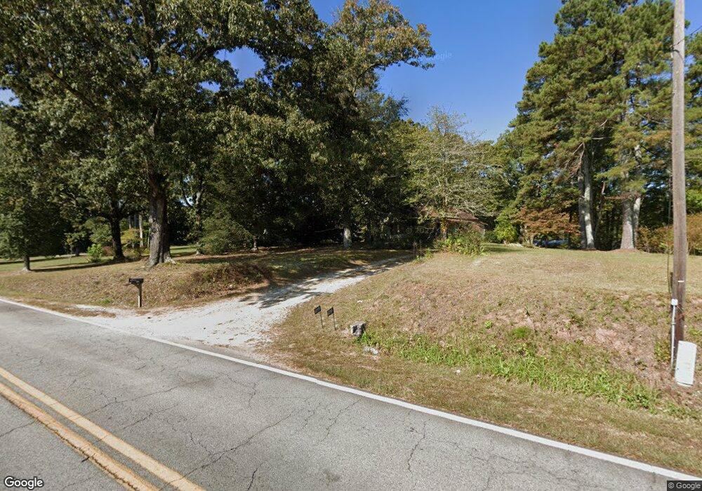
6099 Pea Ridge Rd Cornelia, GA 30531
Estimated Value: $294,000 - $779,322
3
Beds
1
Bath
1,424
Sq Ft
$319/Sq Ft
Est. Value
About This Home
This home is located at 6099 Pea Ridge Rd, Cornelia, GA 30531 and is currently estimated at $454,581, approximately $319 per square foot. 6099 Pea Ridge Rd is a home located in Habersham County with nearby schools including Level Grove Elementary School, South Habersham Middle School, and Habersham Success Academy.
Ownership History
Date
Name
Owned For
Owner Type
Purchase Details
Closed on
Mar 24, 2025
Sold by
Rice Daryl
Bought by
Maxine Rice Revocable Living Trust and Rice David
Current Estimated Value
Purchase Details
Closed on
Nov 21, 2024
Sold by
Rice Daryl
Bought by
Rice Daryl and Rice David
Purchase Details
Closed on
Apr 29, 2024
Sold by
Rice Maxine Franklin
Bought by
Rice Daryl and Rice Donald
Purchase Details
Closed on
Aug 1, 2013
Sold by
Rice William Ray
Bought by
Rice Donald L and Rice Melissa A
Create a Home Valuation Report for This Property
The Home Valuation Report is an in-depth analysis detailing your home's value as well as a comparison with similar homes in the area
Home Values in the Area
Average Home Value in this Area
Purchase History
| Date | Buyer | Sale Price | Title Company |
|---|---|---|---|
| Maxine Rice Revocable Living Trust | -- | -- | |
| Rice Daryl | -- | -- | |
| Rice Daryl | -- | -- | |
| Rice Maxine Franklin | -- | -- | |
| Rice Donald L | -- | -- |
Source: Public Records
Tax History
| Year | Tax Paid | Tax Assessment Tax Assessment Total Assessment is a certain percentage of the fair market value that is determined by local assessors to be the total taxable value of land and additions on the property. | Land | Improvement |
|---|---|---|---|---|
| 2025 | $4,276 | $176,991 | $153,077 | $23,914 |
| 2024 | -- | $120,016 | $103,820 | $16,196 |
| 2023 | $1,241 | $117,456 | $103,820 | $13,636 |
| 2022 | $1,310 | $102,768 | $90,840 | $11,928 |
| 2021 | $1,231 | $102,108 | $90,840 | $11,268 |
| 2020 | $1,243 | $101,168 | $90,840 | $10,328 |
| 2019 | $1,244 | $101,168 | $90,840 | $10,328 |
| 2018 | $1,218 | $101,168 | $90,840 | $10,328 |
| 2017 | $873 | $75,444 | $64,888 | $10,556 |
| 2016 | $802 | $188,610 | $64,888 | $10,556 |
| 2015 | $778 | $188,610 | $64,888 | $10,556 |
| 2014 | $795 | $189,500 | $64,888 | $10,912 |
| 2013 | -- | $79,392 | $68,480 | $10,912 |
Source: Public Records
Map
Nearby Homes
- 3750 Old Cleveland Rd
- 155 Brentwood Dr
- 4880 Pea Ridge Rd
- 8.5 +/- Smith Loop
- 942 Paradise Valley
- 329 Twisting Ridge Trail
- 241 Huntington Manor Ct
- 161 Springbrook Dr
- 180 Springbrook Dr
- 161 Twisting Ridge Trail
- 500 Cross Creek Trail
- 716 Westcrest Ln
- 183 Golden Valley Dr
- 264 Canyon Point Dr
- 240 Canyon Point Dr
- 277 Stonebrook Dr
- 441 Spiral Hills Dr
- 445 Spiral Hills Dr
- 451 Spiral Hills Dr
- 159 Hardyville Cir
- 6099 Pea Ridge Rd
- 6137 Pea Ridge Rd
- 152 Sundance Dr
- 209 Sundance Dr
- 6175 Pea Ridge Rd
- 195 Sundance Dr
- 5944 Pea Ridge Rd
- 5909 Pea Ridge Rd
- 6203 Pea Ridge Rd
- 5885 Pea Ridge Rd
- 6225 Pea Ridge Rd
- 5863 Pea Ridge Rd
- 5863 Pea Ridge Rd
- 5787 Pea Ridge Rd
- 5787 Pea Ridge Rd
- 6242 Pea Ridge Rd
- 1543 Hills Mill Rd
- 442 Sundance Dr
- 442 Sundance Dr
- 1401 Hills Mill Rd
