60992 State Highway 69 Westcliffe, CO 81252
Estimated Value: $648,000 - $744,845
3
Beds
2
Baths
2,701
Sq Ft
$262/Sq Ft
Est. Value
About This Home
This home is located at 60992 State Highway 69, Westcliffe, CO 81252 and is currently estimated at $708,282, approximately $262 per square foot. 60992 State Highway 69 is a home located in Custer County with nearby schools including Custer County Elementary School, Custer Middle School, and Custer County High School.
Ownership History
Date
Name
Owned For
Owner Type
Purchase Details
Closed on
Mar 13, 2004
Sold by
Thompson George J
Bought by
Carter Leonard G and Carter Glenna L
Current Estimated Value
Purchase Details
Closed on
Sep 29, 2000
Sold by
Messenger W C W and Messenger Jeannette R
Bought by
Thompson George J
Purchase Details
Closed on
Oct 25, 1995
Sold by
Mcelvy E G E and Mcelvy Diana M
Bought by
Messenger W C W and Messenger Jeannette R
Purchase Details
Closed on
Jan 18, 1994
Sold by
Mcelvy E George
Bought by
Mcelvy E G E and Mcelvy Diana M
Create a Home Valuation Report for This Property
The Home Valuation Report is an in-depth analysis detailing your home's value as well as a comparison with similar homes in the area
Home Values in the Area
Average Home Value in this Area
Purchase History
| Date | Buyer | Sale Price | Title Company |
|---|---|---|---|
| Carter Leonard G | $372,500 | -- | |
| Thompson George J | $476,500 | -- | |
| Messenger W C W | $245,000 | -- | |
| Mcelvy E G E | -- | -- |
Source: Public Records
Tax History Compared to Growth
Tax History
| Year | Tax Paid | Tax Assessment Tax Assessment Total Assessment is a certain percentage of the fair market value that is determined by local assessors to be the total taxable value of land and additions on the property. | Land | Improvement |
|---|---|---|---|---|
| 2024 | $2,300 | $46,880 | $0 | $0 |
| 2023 | $2,300 | $46,880 | $0 | $0 |
| 2022 | $1,668 | $33,020 | $6,460 | $26,560 |
| 2021 | $1,710 | $33,020 | $6,460 | $26,560 |
| 2020 | $1,544 | $30,800 | $6,460 | $24,340 |
| 2019 | $1,536 | $30,800 | $6,460 | $24,340 |
| 2018 | $1,347 | $27,820 | $6,500 | $21,320 |
| 2017 | $1,306 | $27,817 | $6,504 | $21,313 |
| 2016 | $1,353 | $30,190 | $7,190 | $23,000 |
| 2015 | -- | $379,322 | $90,337 | $288,985 |
| 2012 | $1,814 | $384,175 | $90,337 | $293,838 |
Source: Public Records
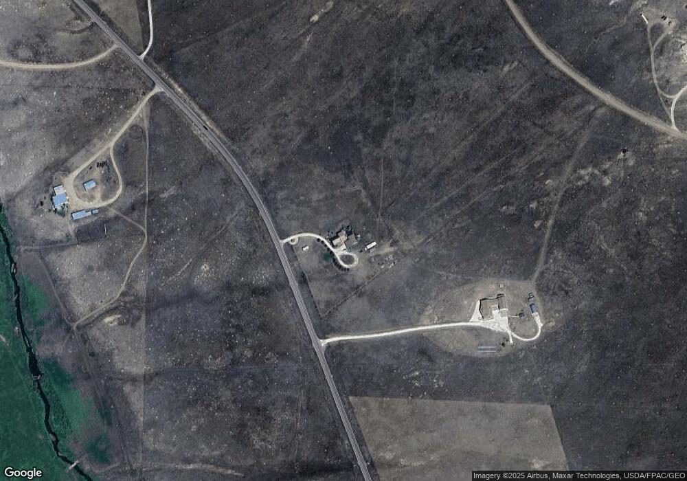
Map
Nearby Homes
- 378 Lone Tree Cir
- 1660 Lone Tree Cir
- 1970 Cr 241
- 1970 County Road 241
- 900 County Rd 241
- 75 Muirfield Dr
- 2 Inverness Ave
- 900 County Road 241
- 1605 County Rd 243
- 138 Jerry Dr
- 1400 County Road 243
- 144 Jerry Dr
- 60 Pyrite Cir
- 70 Mineral Rd
- 70 Mineral Rd Unit 87
- 104 Crista Ln
- 1605 County Road 243
- Lot 31 Pyrite Cir
- 85 Pyrite Cir
- 114 Jerry Dr
- 60992 Hwy 69
- 60992 State Highway 69 Unit 12
- 60860 State Highway 69
- 60860 State Highway 69 Unit 11
- 60860 State Highway 69
- 61199 State Highway 69
- 872 Lone Tree Cir Unit 24
- 61192 State Highway 69
- 61192 Colorado 69
- 61211 State Highway 69
- 415 Lone Tree Cir
- 1209 Lone Tree Cir
- 1209 Lone Tree Cir Unit 14
- 2548 County Road 243
- TBD Lone Tree Cir Unit 26
- 620 Lone Tree Cir
- 378 Loan Tree
- 1336 Lone Tree Cir
- 2426 County Road 243
- Unassign Cr 243