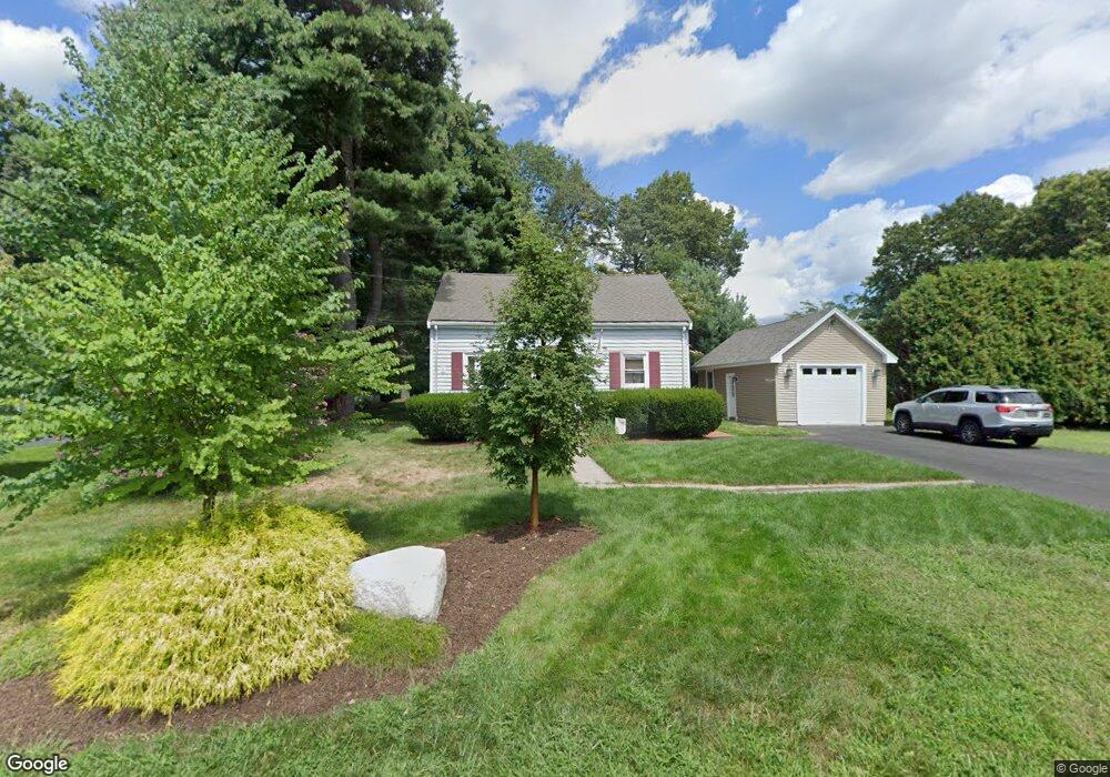
61 2nd Rd Marlborough, MA 01752
Estimated Value: $415,000 - $583,000
2
Beds
1
Bath
1,096
Sq Ft
$469/Sq Ft
Est. Value
About This Home
This home is located at 61 2nd Rd, Marlborough, MA 01752 and is currently estimated at $513,649, approximately $468 per square foot. 61 2nd Rd is a home located in Middlesex County with nearby schools including Marlborough High School, First Steps Children's Center, and New Covenant Christian School.
Ownership History
Date
Name
Owned For
Owner Type
Purchase Details
Closed on
Jun 9, 2020
Sold by
Sordillo Laurie C
Bought by
Macleod Diane and Ashford Reginald L
Current Estimated Value
Purchase Details
Closed on
Aug 3, 1993
Sold by
Cicerone Francis M and Cicerone Kathleen M
Bought by
Macleod Diane and Ashford Reginald L
Home Financials for this Owner
Home Financials are based on the most recent Mortgage that was taken out on this home.
Original Mortgage
$110,100
Interest Rate
7.32%
Mortgage Type
Purchase Money Mortgage
Create a Home Valuation Report for This Property
The Home Valuation Report is an in-depth analysis detailing your home's value as well as a comparison with similar homes in the area
Home Values in the Area
Average Home Value in this Area
Purchase History
| Date | Buyer | Sale Price | Title Company |
|---|---|---|---|
| Macleod Diane | $20,000 | None Available | |
| Macleod Diane | $112,000 | -- |
Source: Public Records
Mortgage History
| Date | Status | Borrower | Loan Amount |
|---|---|---|---|
| Previous Owner | Macleod Diane | $31,430 | |
| Previous Owner | Macleod Diane | $110,000 | |
| Previous Owner | Macleod Diane | $110,100 | |
| Previous Owner | Macleod Diane | $75,000 |
Source: Public Records
Tax History Compared to Growth
Tax History
| Year | Tax Paid | Tax Assessment Tax Assessment Total Assessment is a certain percentage of the fair market value that is determined by local assessors to be the total taxable value of land and additions on the property. | Land | Improvement |
|---|---|---|---|---|
| 2025 | $4,550 | $461,500 | $229,800 | $231,700 |
| 2024 | $4,600 | $449,200 | $209,000 | $240,200 |
| 2023 | $4,610 | $399,500 | $180,300 | $219,200 |
| 2022 | $4,534 | $345,600 | $171,700 | $173,900 |
| 2021 | $4,558 | $330,300 | $141,300 | $189,000 |
| 2020 | $4,512 | $318,200 | $134,600 | $183,600 |
| 2019 | $4,421 | $314,200 | $131,900 | $182,300 |
| 2018 | $10,923 | $278,800 | $113,300 | $165,500 |
| 2017 | $3,760 | $245,400 | $110,800 | $134,600 |
| 2016 | $3,586 | $233,800 | $110,800 | $123,000 |
| 2015 | $3,431 | $217,700 | $113,100 | $104,600 |
Source: Public Records
Map
Nearby Homes
- 24 Seneca Dr
- 46 Jewell Rd Unit Lot 5
- 44 Jewell Rd Unit Lot 4
- 30 Jewell Rd Unit Lot 2
- 48 Jewell Rd Unit Lot 6
- 0 Oneida Place
- 20 Beauregard Cir
- 68 Upland Rd
- 114 Lodi Rd
- 0 Stevens St
- 7 Baben Rd
- 656 Bolton St
- 92 Porter Rd
- 502 Hosmer St
- 0 Washington St
- 243 Washington St
- 38 Airport Blvd
- 9 & 9A Abigail
- 236 Bolton St
- 7 Old North Rd